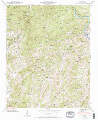
1946 Map of Spring Creek
USGS Topo · Published 1970About this map
The French Broad River carves through the mountains of Madison County on this mid-century survey, passing through Marshall and the rail-side settlement of Barnard. This landscape within the Pisgah National Forest is defined by a deep network of ridges like Leadmine Ridge and Divide Mountain, where small mountain schools and churches served isolated communities. The map documents the local social geography through institutions such as the Upper Big Pine School and Highland Church, alongside family-named burial grounds like Brooks Cem and Fortner Cem. Evidence of early commerce and recreation is visible, from the Worley Mill on its eponymous creek to the primitive path of the Appalachian Trail crossing the northern heights. The Southern railroad follows the river's winding course, while the Duckett Lookout Tower stands watch over the southern peaks near Big Pine Gap.
Find a feature on this map
128 named features on this map. Tap any name to fly to it.
Don’t see what you’re looking for? This feature index may not catch every label — zoom into the map to look around manually.
Map Details
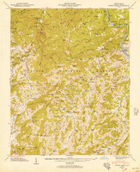
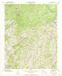
Editions of this 1946 Spring Creek Map
3 editions found
Other maps of this area

1894 · Asheville
USGS Topo · 1:125,000

1901 · Asheville
USGS Topo · 1:125,000

1935 · Paint Rock
USGS Topo · 1:24,000

1935 · Hot Springs
USGS Topo · 1:24,000

1935 · Spring Creek
USGS Topo · 1:24,000

1935 · Lemon Gap
USGS Topo · 1:24,000

1936 · Marshall
USGS Topo · 1:24,000

1936 · Sandymush
USGS Topo · 1:24,000

1936 · White Rock
USGS Topo · 1:24,000

1936 · Hepco
USGS Topo · 1:24,000