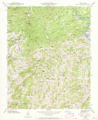
1946 Map of Spring Creek
USGS Topo · Published 1970About this map
Pisgah National Forest encompasses much of this terrain, where steep ridges like Hogback Mtn and Turkey Mountain overlook deep creek drainages. The Southern railroad follows the winding course of the French Broad River at the eastern edge of the map, passing the settlement of Marshall and the stop at Barnard. Away from the river, life centers on small rural hubs such as Trust and Granger, where family-named cemeteries like Lunsford Cem and Thomas Cem are found alongside remote institutions like Paynes Chapel and Gap of the Mountain Ch. The distribution of local schools, including Upper Big Pine Sch and Spring Creek Sch, highlights the dispersed nature of these mountain communities in the mid-1940s. A high-altitude perspective is maintained from the Duckett Lookout Tower atop Rich Knob, reflecting the era's fire management infrastructure.
Find a feature on this map
148 named features on this map. Tap any name to fly to it.
Don’t see what you’re looking for? This feature index may not catch every label — zoom into the map to look around manually.
Map Details
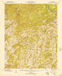
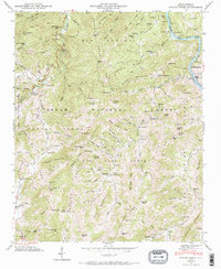
Editions of this 1946 Spring Creek Map
3 editions found
Other maps of this area

1894 · Asheville
USGS Topo · 1:125,000

1901 · Asheville
USGS Topo · 1:125,000

1935 · Paint Rock
USGS Topo · 1:24,000

1935 · Hot Springs
USGS Topo · 1:24,000

1935 · Spring Creek
USGS Topo · 1:24,000

1935 · Lemon Gap
USGS Topo · 1:24,000

1936 · Marshall
USGS Topo · 1:24,000

1936 · Sandymush
USGS Topo · 1:24,000

1936 · White Rock
USGS Topo · 1:24,000

1936 · Hepco
USGS Topo · 1:24,000