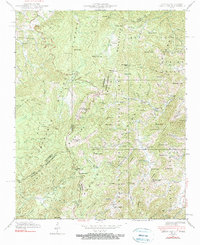
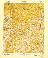
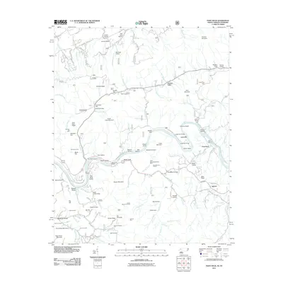
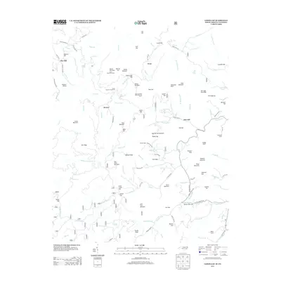
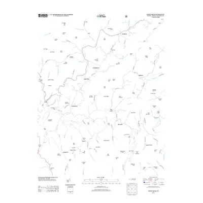
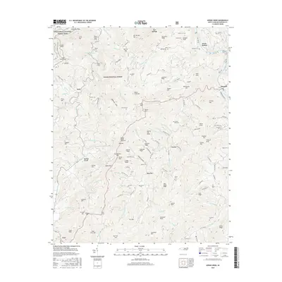
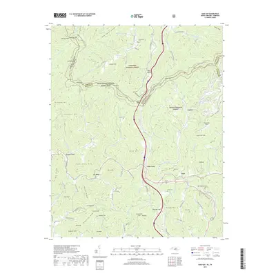
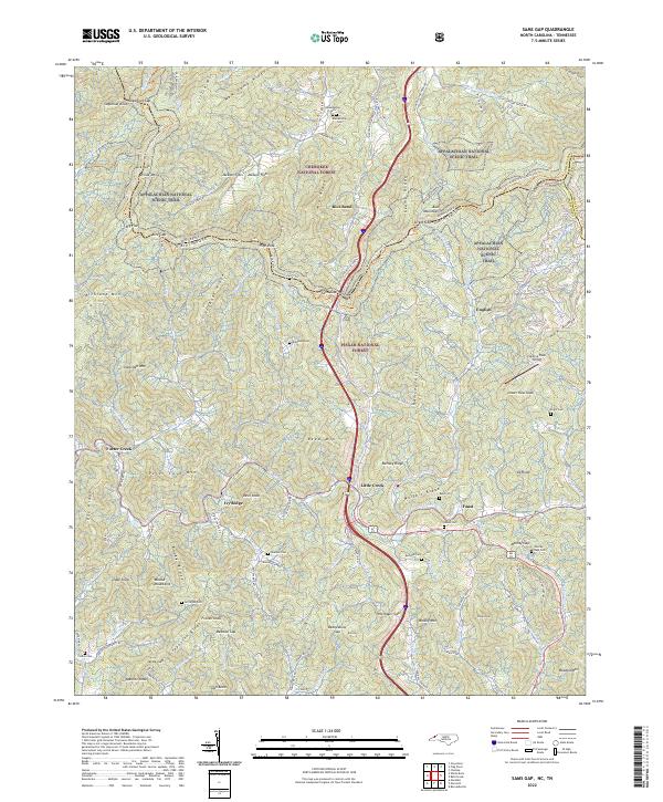
1936 Map of Sams Gap
USGS Topo · Published 1936About this map
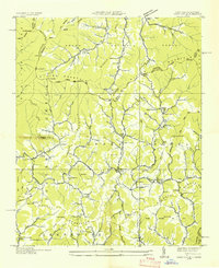
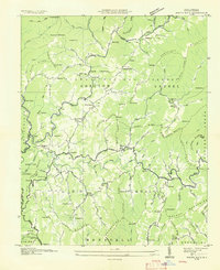
Unaka National Forest defines this high-elevation landscape along the border of North Carolina and Tennessee in the mid-1930s. The terrain is structured by massive ridges including Snake Mountain, Divide Mountain, and the Walnut Mountains, which dictated the early settlement patterns of Upper Laurel and Grapevine Mountain. Along the narrow creek bottoms, small rural communities thrived around landmarks like the Flume Mill near Faust and a dense network of mountain houses of worship, including Higgins Chapel, Ebb Chapel, and Bright Hope Ch.
Find a feature on this map
100 named features on this map. Tap any name to fly to it.
Don’t see what you’re looking for? This feature index may not catch every label — zoom into the map to look around manually.
Map Details
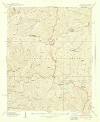
Editions of this 1936 Sams Gap Map
This is the sole edition of this map. No revisions or reprints were ever made.
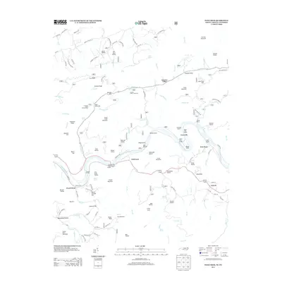
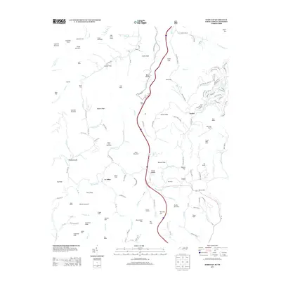
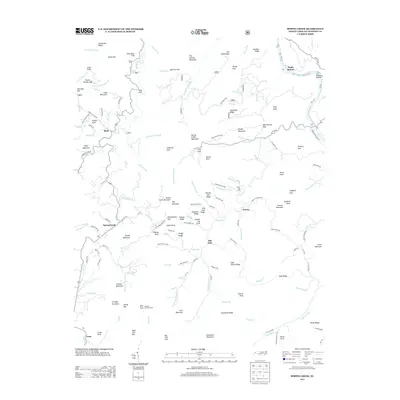
Historical Maps of Rice Bend Through Time
38 maps found

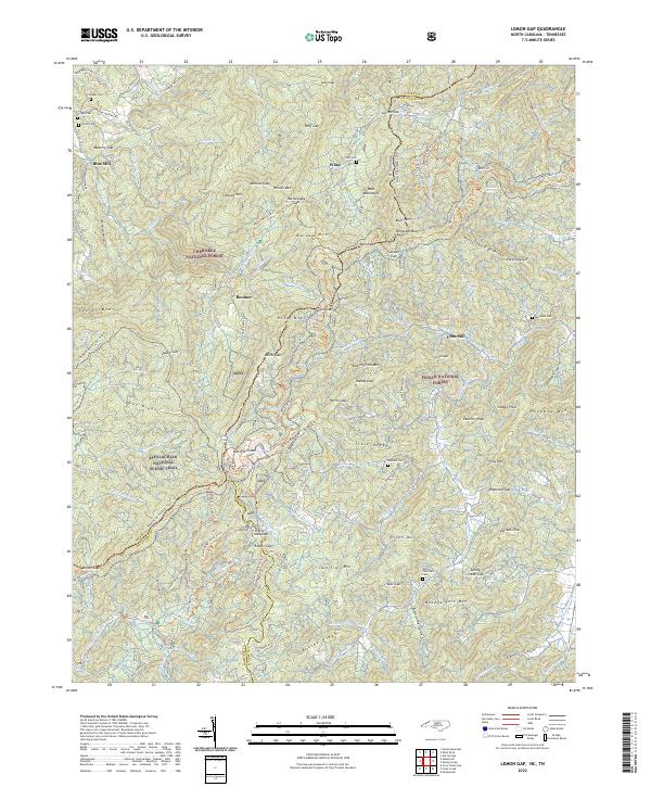
1935 Lemon Gap
Madison County, NC

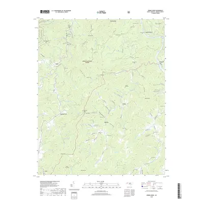
1935 Spring Creek
Madison County, NC
1936 Sams Gap
Madison County, NC
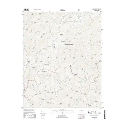
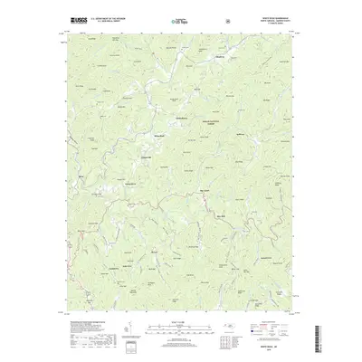
1936 White Rock
Madison County, NC
1939 Sams Gap
Madison County, NC
1939 White Rock
Madison County, NC
1940 Lemon Gap
Madison County, NC
1940 Sams Gap
Madison County, NC
1940 White Rock
Madison County, NC
1946 Spring Creek
Madison County, NC
1947 Spring Creek
Madison County, NC
1997 Lemon Gap
Madison County, NC
2003 Paint Rock
Madison County, NC
2011 Lemon Gap
Madison County, NC
2011 Paint Rock
Madison County, NC
2011 Sams Gap
Madison County, NC
2011 Spring Creek
Madison County, NC
2011 White Rock
Madison County, NC
2013 Lemon Gap
Madison County, NC
2013 Paint Rock
Madison County, NC
2013 Sams Gap
Madison County, NC
2013 Spring Creek
Madison County, NC
2013 White Rock
Madison County, NC
2016 Lemon Gap
Madison County, NC
2016 Paint Rock
Madison County, NC
2016 Sams Gap
Madison County, NC
2016 Spring Creek
Madison County, NC
2016 White Rock
Madison County, NC
2019 Lemon Gap
Madison County, NC
2019 Paint Rock
Madison County, NC
2019 Sams Gap
Madison County, NC
2019 Spring Creek
Madison County, NC
2019 White Rock
Madison County, NC
2022 Lemon Gap
Madison County, NC
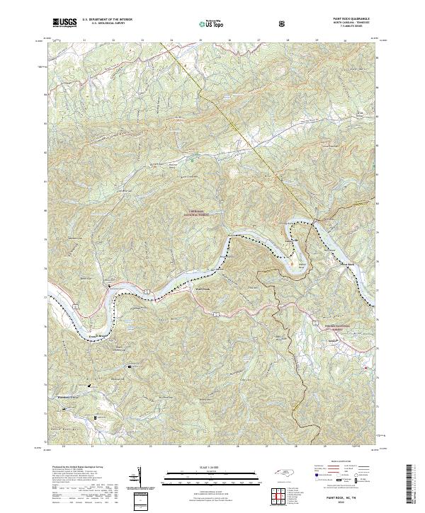
2022 Paint Rock
Madison County, NC
2022 Sams Gap
Madison County, NC
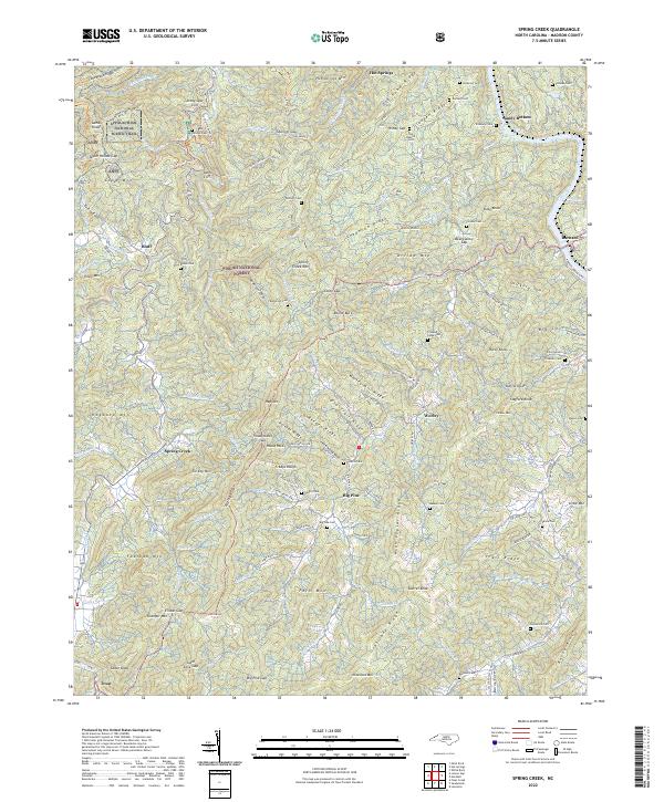
2022 Spring Creek
Madison County, NC
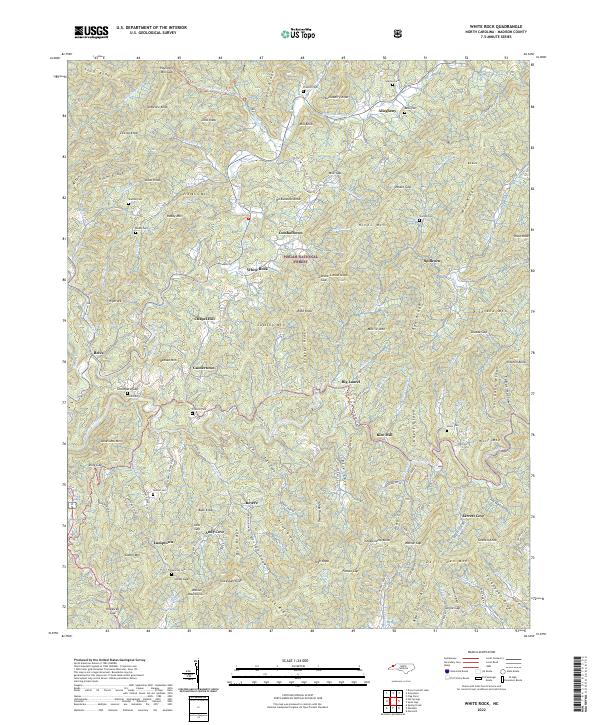
2022 White Rock
Madison County, NC