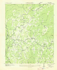
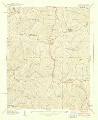
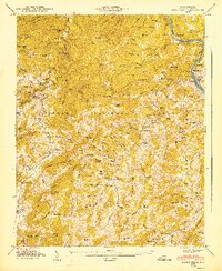
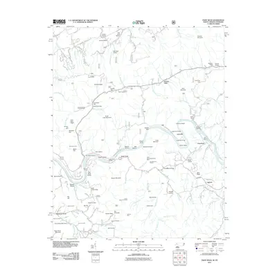
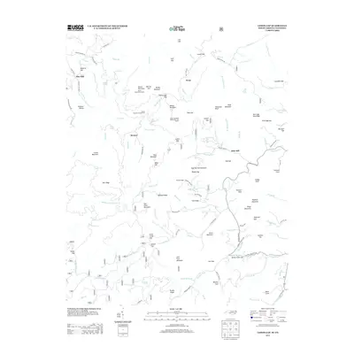
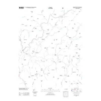
1939 Map of White Rock
USGS Topo · Published 1988About this map
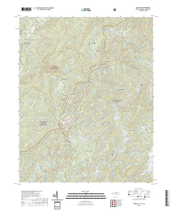
Shelton Laurel Creek and Big Laurel Creek define the drainage of this Madison County terrain, where mountain communities such as White Rock and Guntertown were established along narrow valley floors. The landscape reflects a deeply dissected plateau within the Pisgah National Forest, characterized by high peaks like Sugarloaf Mountain and Franklin Mtn. Local life in the late 1930s was anchored by scattered rural institutions, including the Rice Sch and churches like Chestnut Hill Ch and Big Laurel Ch. Small family settlements like Cutshalltown and Rice Mill appear alongside numerous namesake burial grounds, such as Shelton Cem and Gosnell Cem, documenting the genealogical history of these hollows. This 1939 survey, with revisions from the 1970s, preserves the early road network and foot trails that linked remote mountain farms before major modern development reached this part of the Blue Ridge.
Find a feature on this map
110 named features on this map. Tap any name to fly to it.
Don’t see what you’re looking for? This feature index may not catch every label — zoom into the map to look around manually.
Map Details
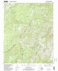
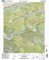
Editions of this 1939 White Rock Map
5 editions found
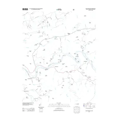
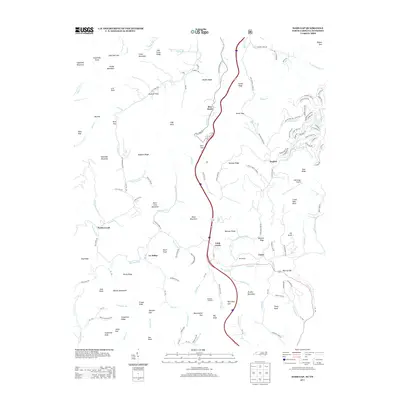
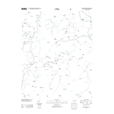
Historical Maps of Andy Cove Through Time
38 maps found

1935 Lemon Gap
Madison County, NC

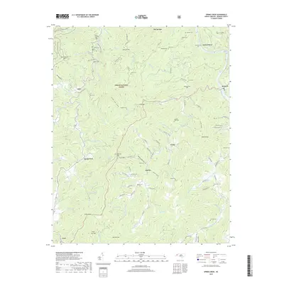
1935 Spring Creek
Madison County, NC
1936 Sams Gap
Madison County, NC
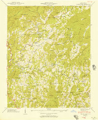
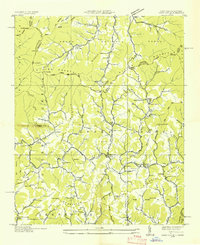
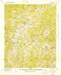
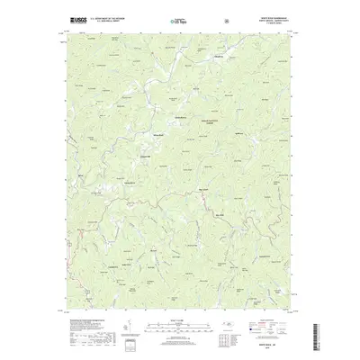
1936 White Rock
Madison County, NC
1939 Sams Gap
Madison County, NC
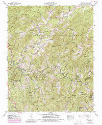
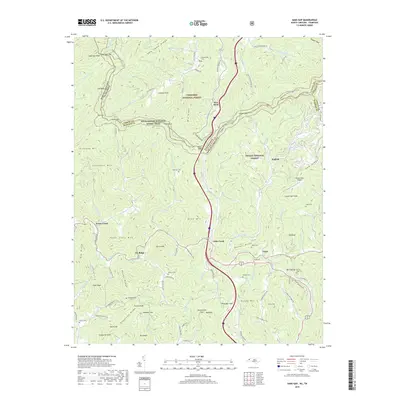
1939 White Rock
Madison County, NC
1940 Lemon Gap
Madison County, NC
1940 Sams Gap
Madison County, NC
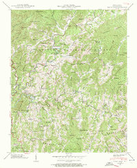
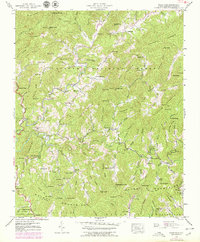
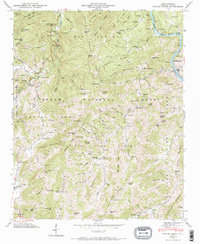
1940 White Rock
Madison County, NC
1946 Spring Creek
Madison County, NC
1947 Spring Creek
Madison County, NC
1997 Lemon Gap
Madison County, NC
2003 Paint Rock
Madison County, NC
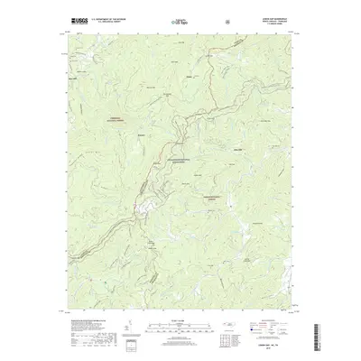
2011 Lemon Gap
Madison County, NC
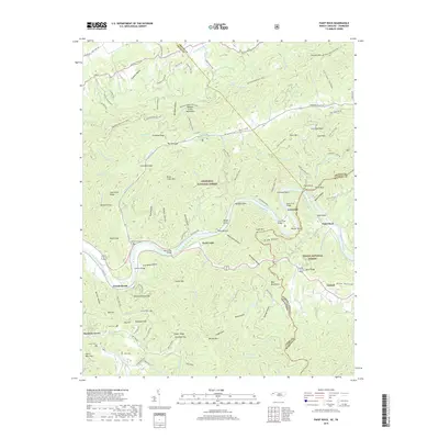
2011 Paint Rock
Madison County, NC
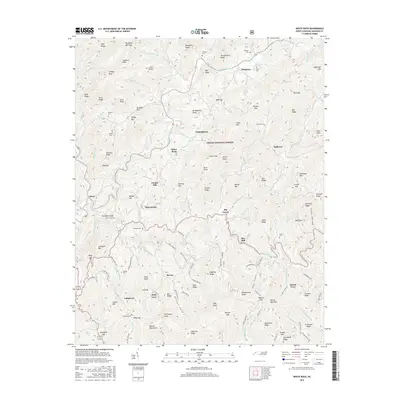
2011 Sams Gap
Madison County, NC
2011 Spring Creek
Madison County, NC
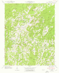
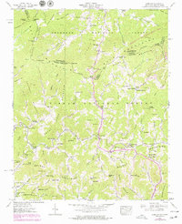
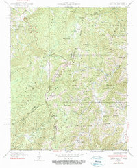
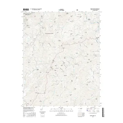
2011 White Rock
Madison County, NC
2013 Lemon Gap
Madison County, NC
2013 Paint Rock
Madison County, NC
2013 Sams Gap
Madison County, NC
2013 Spring Creek
Madison County, NC
2013 White Rock
Madison County, NC
2016 Lemon Gap
Madison County, NC
2016 Paint Rock
Madison County, NC
2016 Sams Gap
Madison County, NC
2016 Spring Creek
Madison County, NC
2016 White Rock
Madison County, NC
2019 Lemon Gap
Madison County, NC
2019 Paint Rock
Madison County, NC
2019 Sams Gap
Madison County, NC
2019 Spring Creek
Madison County, NC
2019 White Rock
Madison County, NC
2022 Lemon Gap
Madison County, NC
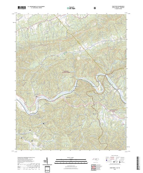
2022 Paint Rock
Madison County, NC
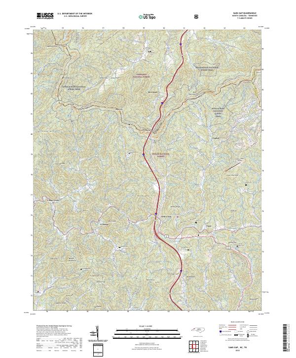
2022 Sams Gap
Madison County, NC
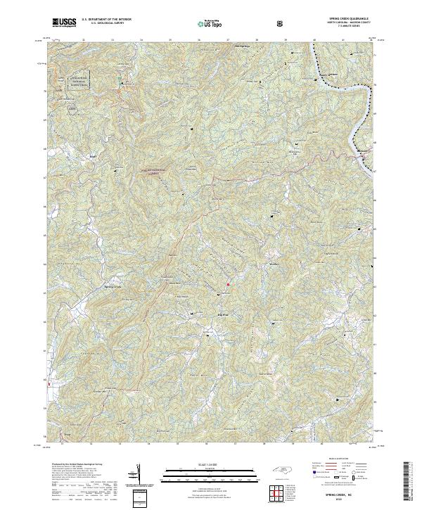
2022 Spring Creek
Madison County, NC
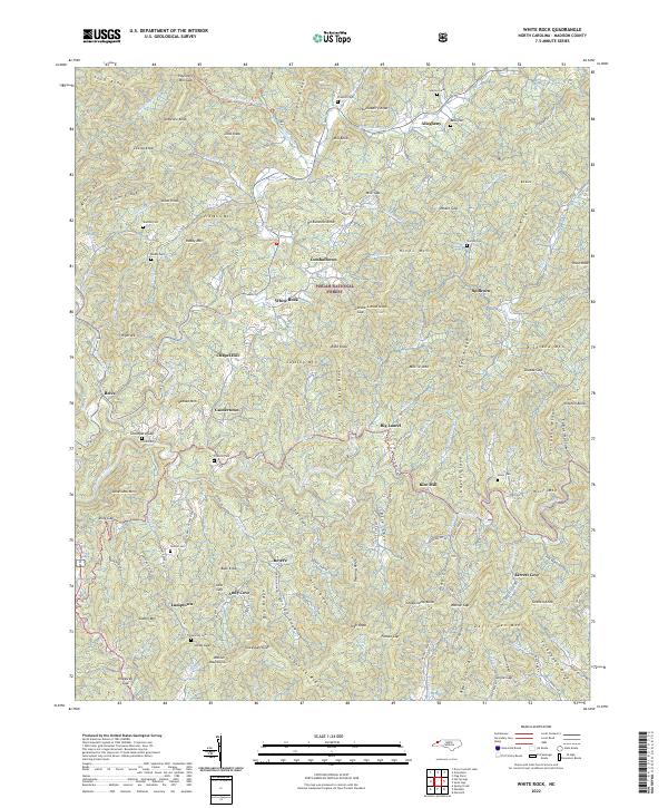
2022 White Rock
Madison County, NC