
1936 Map of Greystone
USGS Topo · Published 1936About this map
Greystone and the neighboring settlement of Jennings sit near the edge of the Unaka National Forest, where a network of mountain roads connects family farms to early local industries. The map illustrates a reliance on hydraulic power and mountain springs, evidenced by Water Fork Mill, Hampton Mill, and Carter Mill, along with a system of flumes and dams. This 1930s landscape is deeply communal, with numerous churches like Gethsemane Ch and Bethany Ch, and small rural schools including Dobson Sch and Shelton Sch serving the scattered population.
Find a feature on this map
104 named features on this map. Tap any name to fly to it.
Don’t see what you’re looking for? This feature index may not catch every label — zoom into the map to look around manually.
Map Details
Editions of this 1936 Greystone Map
This is the sole edition of this map. No revisions or reprints were ever made.
Other maps of this area

1892 · Greeneville
USGS Topo · 1:125,000

1894 · Asheville
USGS Topo · 1:125,000

1896 · Greeneville
USGS Topo · 1:125,000

1901 · Asheville
USGS Topo · 1:125,000

1904 · Greeneville
USGS Topo · 1:125,000

1935 · Hot Springs
USGS Topo · 1:24,000

1936 · Sams Gap
USGS Topo · 1:24,000
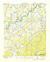
1936 · Lake Davy Crockett
USGS Topo · 1:24,000
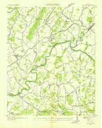
1936 · Chuckey
USGS Topo · 1:24,000
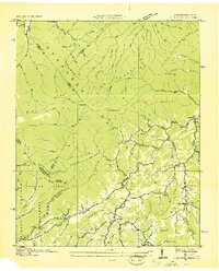
1936 · Flag Pond
USGS Topo · 1:24,000