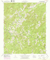
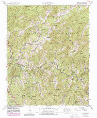
1939 Map of White Rock
USGS Topo · Published 1979About this map
Shelton Laurel Creek carves a deep path through this Madison County landscape, anchoring a network of remote settlements and family farmsteads in the late 1930s. Small mountain communities like Belva and Revere are identified by their post offices and schools, such as Rice Sch, reflecting a period of localized rural life within the Pisgah National Forest. The map captures a high density of family burial grounds, including the Franklin Cem, Shelton Cem, and Bullman Cem, which provide essential clues for genealogical research in these Appalachian hollows.
Find a feature on this map
125 named features on this map. Tap any name to fly to it.
Don’t see what you’re looking for? This feature index may not catch every label — zoom into the map to look around manually.
Map Details
Editions of this 1939 White Rock Map
5 editions found
Other maps of this area

1892 · Greeneville
USGS Topo · 1:125,000

1894 · Asheville
USGS Topo · 1:125,000

1896 · Greeneville
USGS Topo · 1:125,000

1901 · Asheville
USGS Topo · 1:125,000

1904 · Greeneville
USGS Topo · 1:125,000

1935 · Hot Springs
USGS Topo · 1:24,000

1935 · Spring Creek
USGS Topo · 1:24,000

1936 · Marshall
USGS Topo · 1:24,000

1936 · Greystone
USGS Topo · 1:24,000

1936 · Sams Gap
USGS Topo · 1:24,000