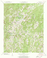
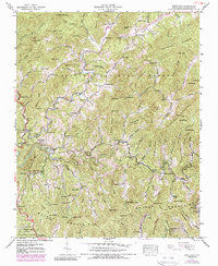
1939 Map of White Rock
USGS Topo · Published 1972About this map
Big Laurel Creek winds through the heart of this mountain landscape, serving as the central drainage for a network of hollows and ridges within the Pisgah National Forest. The settlement pattern in the late 1930s reflects a community tied closely to these waterways, with small clusters like White Rock and Guntertown situated at key valley junctions. Higher elevation points such as Sugarloaf Mountain and Hicks Mountain define the horizon, while numerous family-named landmarks suggest a deep-rooted local genealogy.
Find a feature on this map
164 named features on this map. Tap any name to fly to it.
Don’t see what you’re looking for? This feature index may not catch every label — zoom into the map to look around manually.
Map Details
Editions of this 1939 White Rock Map
5 editions found
Other maps of this area

1892 · Greeneville
USGS Topo · 1:125,000

1894 · Asheville
USGS Topo · 1:125,000

1896 · Greeneville
USGS Topo · 1:125,000

1901 · Asheville
USGS Topo · 1:125,000

1904 · Greeneville
USGS Topo · 1:125,000

1935 · Hot Springs
USGS Topo · 1:24,000

1935 · Spring Creek
USGS Topo · 1:24,000

1936 · Marshall
USGS Topo · 1:24,000

1936 · Greystone
USGS Topo · 1:24,000

1936 · Sams Gap
USGS Topo · 1:24,000