Old Maps of Marion, North Carolina for Metal Detecting
Plan your next treasure hunt with 29 historic maps of Marion. Find old homesites, ghost towns, trails, and gathering spots that may be lost to time — perfect for identifying promising metal detecting locations.
- Locate forgotten sites: Uncover places like long-lost settlements, abandoned rail lines, or gathering spots.
- Plan better hunts: Use map overlays combined with LiDAR or satellite views to narrow in on historically rich areas.
- Made for detectorists: Thousands of hobbyists use these maps to discover relics, coins, and hidden history.
Use these historic maps to boost your research and find new opportunities beneath the surface of Marion.
Marion, NC maps
(29)- 1900 Map of Mount Mitchell, 1963 Print
 1900 Mount Mitchell1963 Print · USGSWestern North Carolina at the turn of the century shows a landscape of high peaks and isolated river settlements before the arrival of modern highways. Genealogists and mountain historians can trace early homesteads along the Cane River or follow the Southern RR through Old Fort and Black Mountain.3 unique versions available
 - 1902 Map of Mount Mitchell, 1937 Print
 1902 Mount Mitchell1937 Print · USGSThe high peaks of Western North Carolina are captured here at the start of the twentieth century, showing the rail and river corridors that shaped the region. Trace early settlements like Burnsville, Montreat, and the winding Southern Railway.3 unique versions available
 - 1905 Map of Morganton, 1941 Print
 1905 Morganton1941 Print · USGSThe foothills and high peaks of the Blue Ridge come alive in the early twentieth century, centered on the growing towns of Morganton and Lenoir. Genealogists and historians can trace the early rail corridor of the Southern Railway and locate vanished landmarks like Arneys Store and Rutherford College.2 unique versions available
 - 1953 Map of Charlotte, 1968 Print
 1953 Charlotte1968 Print · USGSThe North Carolina Piedmont and South Carolina borderlands are shown in detail during a period of significant growth and reservoir development. Trace the rail corridors of the Southern Railway or find family roots in towns like China Grove, Misenheimer, and Lincolnton.3 unique versions available
 - 1954 Map of Charlotte
 1954 Charlotte1954 Print · USGSThe North Carolina Piedmont in the mid-1950s shows a region of rapid growth and industrial expansion centered around Charlotte. Trace the era's infrastructure through the Southern railroad lines and locate significant landmarks like the Charlotte Naval Ammunition Depot and Lake Norman.2 unique versions available
 - 1955 Map of Knoxville
 1955 Knoxville1955 Print · USGSThe Southern Appalachians and the Smoky Mountains are shown here at a peak of mid-century development and conservation. Genealogists and historians can trace the early road networks connecting Gatlinburg, Waynesville, and the Cherokee Indian Reservation across the high ridges.
 - 1957 Map of Knoxville, 1966 Print
 1957 Knoxville1966 Print · USGSThe Southern Appalachians of Tennessee and North Carolina are mapped here during the mid-twentieth century as new highways reached the high country. Genealogists and historians can trace the topography between Knoxville and Asheville, locating family landmarks near Fontana Lake or along the Blue Ridge Parkway.4 unique versions available
 - 1960 Map of Knoxville
 1960 Knoxville1960 Print · USGSThe Southern Appalachians come alive in the 1950s, showing the intersection of new national park tourism and deep-rooted mountain industry. Trace old rail lines like the Clinchfield RR and find high-altitude landmarks from Mt Le Conte to the Cherokee Indian Reservation.2 unique versions available
 - 1960 Map of Charlotte
 1960 Charlotte1960 Print · USGSMid-century North Carolina and South Carolina meet in this 1960 survey of the Piedmont's industrial and textile heartland. Trace the growth of Charlotte alongside historic landmarks like Kings Mountain National Military Park and the Charlotte Naval Ammunition Depot.2 unique versions available
 - 1962 Map of Charlotte
 1962 Charlotte1962 Print · USGSThe North Carolina Piedmont in the early sixties showcases a landscape transformed by massive reservoirs and industrial growth. Researchers can trace the development of Lake Norman, locate the Charlotte Naval Ammunition Depot, or find family landmarks like Wesley Chapel and Brown & Norcott Mills.
 - 1962 Map of Marion East, 1964 Print
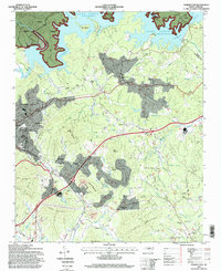
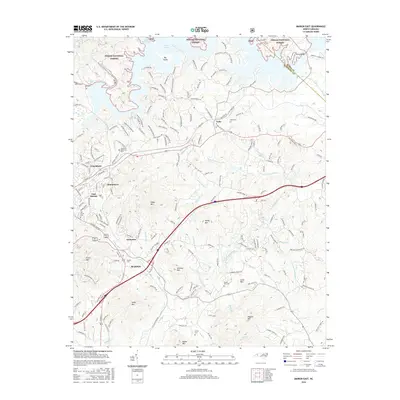
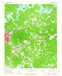 1962 Marion East1964 Print · USGSMcDowell County's foothills and river valleys are captured here in the early sixties, anchored by the industrial and rail hubs of Marion and East Marion. Genealogists can trace family roots through rural landmarks like Nebo Cem, Dysartsville Ch, and the small settlement of Jacktown.2 unique versions available
 - 1962 Map of Marion, 1964 Print
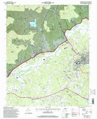
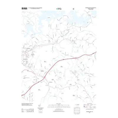
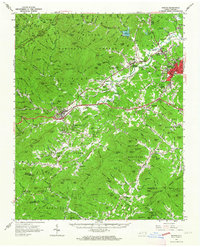 1962 Marion1964 Print · USGSMcDowell County life in the early sixties centers on the rail junction at Marion and the rising peaks of the Blue Ridge. Genealogists and historians can trace community roots through Carson Chapel, Zion Hill Cem, and the old Pleasant Gardens School.2 unique versions available
 - 1964 Map of Knoxville
 1964 Knoxville1964 Print · USGSThe Southern Appalachians and Great Smokies are captured here during the mid-sixties, showing the rugged borderlands of Tennessee and North Carolina. Researchers can trace historic mountain routes like U S 441, the expanse of Pisgah National Forest, and the growing footprints of Asheville and Knoxville.
 - 1985 Map of Asheville
 1985 Asheville1985 Print · USGSWestern North Carolina during the mid-eighties shows a region of deep mountain heritage and expanding highway networks. Genealogists and historians can trace the foundations of Asheville alongside older rail corridors like the Clinchfield Railroad and the high elevations of Mount Mitchell.2 unique versions available
 - 1985 Map of Marion West, 1986 Print
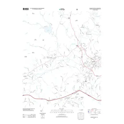
 1985 Marion West1986 Print · USGSIn the mid-1980s, the McDowell County landscape centered on the city of Marion and the winding Catawba River. Genealogists can trace family names at Barnes Cem, find local landmarks like Lake Tahoma, or locate the Drive-in Theater near Pleasant Gardens.
 - 1986 Map of Hickory
 1986 Hickory1986 Print · USGSWestern North Carolina's foothills are seen here in the mid-eighties as textile and furniture towns flourished along the river. Trace the development of Hickory and Lenoir or locate local landmarks like Burke Chapel, Saw Mills, and Rhodhiss Lake.3 unique versions available
 - 1993 Map of Marion East, 1996 Print
 1993 Marion East1996 Print · USGSMcDowell County in the 1990s shows a landscape of growing communities and mountain industry between the Blue Ridge foothills and the waters of Lake James. Family historians can trace local landmarks like Nebo High Sch, Oak Grove Cem, and Parkers Chapel.
 - 1994 Map of Marion East, 1998 Print
 1994 Marion East1998 Print · USGSMcDowell County's eastern reaches are captured here in the mid-nineties, showing the integration of Lake James with the rail-side growth of Marion. Researchers can pinpoint local landmarks from the State Prison Camp to rural congregations like Drusilla Church and Fairview Church.
 - 1994 Map of Marion West, 1998 Print
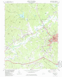
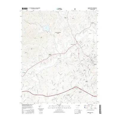
 1994 Marion West1998 Print · USGSThe foothills of the Blue Ridge come into focus in the mid-1990s, showing the Catawba River valley as it nears the city of Marion. Genealogists and local historians can trace family-named sites and rural institutions like Carsons Chapel, Garden Creek, and the Zion Hill Cemetery.
 - 2011 Map of Marion East, 2011 Print
 2011 Marion East2011 Print · USGSCovers Marion, including Nebo, Stumptown, and other nearby areas
 - 2011 Map of Marion West, 2011 Print
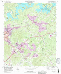
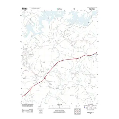
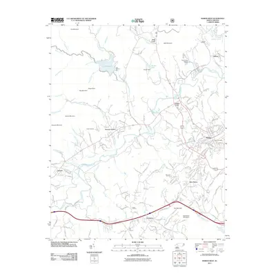 2011 Marion West2011 Print · USGSCovers Marion, including Toms Creek, Hankins, and other nearby areas
 - 2013 Map of Marion East, 2013 Print
 2013 Marion East2013 Print · USGSCovers Marion, including Nebo, Stumptown, and other nearby areas
 - 2013 Map of Marion West, 2013 Print
 2013 Marion West2013 Print · USGSCovers Marion, including Toms Creek, Hankins, and other nearby areas
 - 2016 Map of Marion East, 2016 Print
 2016 Marion East2016 Print · USGSCovers Marion, including Nebo, Stumptown, and other nearby areas
 - 2016 Map of Marion West, 2016 Print
 2016 Marion West2016 Print · USGSCovers Marion, including Toms Creek, Hankins, and other nearby areas
Showing maps 1-25 of 29
Top cities near Marion
- Morganton historical maps
- Spruce Pine historical maps
- Nebo historical maps
- Glen Alpine historical maps
- Old Fort historical maps
Top neighborhoods of Marion
Frequently asked questions
- What are the different types of historical maps available for Marion?
- What is the oldest map of Marion?
- Where can I purchase historical maps of Marion for my home or office?
- Where can I download high-res historical maps of Marion?
- Are there historical topographic maps available for Marion?
- Is there historical aerial imagery available for Marion?
- Where are historical maps of Marion sourced from?