Old Maps of Greenbriar, Charlotte for Academic Research
Study the evolution of Greenbriar with 16 high-resolution historic maps. Whether you're teaching, researching, or modeling changes in land use, these maps provide essential visual documentation of urban, environmental, and geographic change.
- Analyze long-term change: Track patterns in development, transportation, and natural features.
- Ideal for environmental or urban studies: Support academic projects with primary historical map data.
- Use in the classroom or lab: Educators and researchers rely on these maps to bring historical context to life.
These maps are a powerful tool for teaching, research, and visualizing how Greenbriar has changed over the decades.
Greenbriar, Charlotte maps
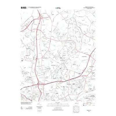
(16)- 1941 Map of Charlotte
 1941 Charlotte1941 Print · USGSMecklenburg and its surrounding counties are captured here at a pivotal moment in the early 1940s. Genealogists and local historians can trace the rail-driven growth of Charlotte or locate smaller rural landmarks like Alexanders Store, Wesley Chapel, and the community at Stallings.
 - 1942 Map of Charlotte
 1942 Charlotte1942 Print · USGSCharlotte and its surrounding Piedmont communities are captured here during the early years of the Second World War. Researchers can trace the rail corridors of the Southern and Seaboard Air Line or locate family-named sites like Alexanders Store, Hoods Cross Road, and Wesley Chapel.2 unique versions available
 - 1948 Map of Derita, 1952 Print
 1948 Derita1952 Print · USGSNorth of Charlotte in the late 1940s, this area shows a rural landscape transitioning toward suburban growth along the Southern railroad. Genealogists and researchers can locate several community anchors including Derita Mineral Springs, Rockwell Sch, and Sugar Creek Ch.3 unique versions available
 - 1953 Map of Charlotte, 1968 Print
 1953 Charlotte1968 Print · USGSThe North Carolina Piedmont and South Carolina borderlands are shown in detail during a period of significant growth and reservoir development. Trace the rail corridors of the Southern Railway or find family roots in towns like China Grove, Misenheimer, and Lincolnton.3 unique versions available
 - 1954 Map of Charlotte
 1954 Charlotte1954 Print · USGSThe North Carolina Piedmont in the mid-1950s shows a region of rapid growth and industrial expansion centered around Charlotte. Trace the era's infrastructure through the Southern railroad lines and locate significant landmarks like the Charlotte Naval Ammunition Depot and Lake Norman.2 unique versions available
 - 1960 Map of Charlotte
 1960 Charlotte1960 Print · USGSMid-century North Carolina and South Carolina meet in this 1960 survey of the Piedmont's industrial and textile heartland. Trace the growth of Charlotte alongside historic landmarks like Kings Mountain National Military Park and the Charlotte Naval Ammunition Depot.2 unique versions available
 - 1962 Map of Charlotte
 1962 Charlotte1962 Print · USGSThe North Carolina Piedmont in the early sixties showcases a landscape transformed by massive reservoirs and industrial growth. Researchers can trace the development of Lake Norman, locate the Charlotte Naval Ammunition Depot, or find family landmarks like Wesley Chapel and Brown & Norcott Mills.
 - 1972 Map of Derita, 1973 Print
 1972 Derita1973 Print · USGSNorth Mecklenburg County was undergoing a suburban transition in the early seventies as Charlotte pushed northward. Researchers can trace local heritage through the Metrolina Fairgrounds, Brockenbrough Airport, and several old country churches like Oak Grove Ch.
 - 1976 Map of Derita, 1978 Print
 1976 Derita1978 Print · USGSNorth Charlotte and its surrounding Mecklenburg County suburbs are frozen in a moment of rapid mid-seventies growth. Local historians and genealogists can trace the early footprints of modern neighborhoods near Derita, Croft, and the northern edge of Charlotte.
 - 1985 Map of Charlotte, 1986 Print
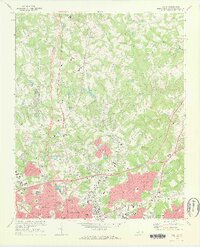
 1985 Charlotte1986 Print · USGSThe Piedmont region in the mid-eighties shows the rapid growth of the Charlotte metro area alongside established textile and college towns. Trace local heritage at the Reed Gold Mine or explore the rail corridors of the Southern Railway and Winston-Salem Southbound Railway.2 unique versions available
 - 1993 Map of Derita, 1996 Print
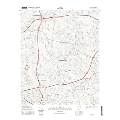
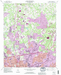 1993 Derita1996 Print · USGSNorthern Mecklenburg County enters a period of intense suburban growth in the early nineties as the Charlotte city limits expand. Genealogists and local historians can trace legacy sites like the Sugar Creek Burying Ground, Derita Mineral Spring, and the Metrolina Fairgrounds.
 - 2010 Map of Derita, 2010 Print
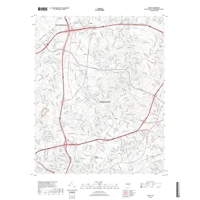
 2010 Derita2010 Print · USGSCovers Greenbriar, including Charlotte, Huntersville, and other nearby areas
 - 2013 Map of Derita, 2013 Print
 2013 Derita2013 Print · USGSCovers Greenbriar, including Charlotte, Huntersville, and other nearby areas
 - 2016 Map of Derita, 2016 Print
 2016 Derita2016 Print · USGSCovers Greenbriar, including Charlotte, Huntersville, and other nearby areas
 - 2019 Map of Derita, 2019 Print
 2019 Derita2019 Print · USGSCovers Greenbriar, including Charlotte, Huntersville, and other nearby areas
 - 2022 Map of Derita, 2022 Print
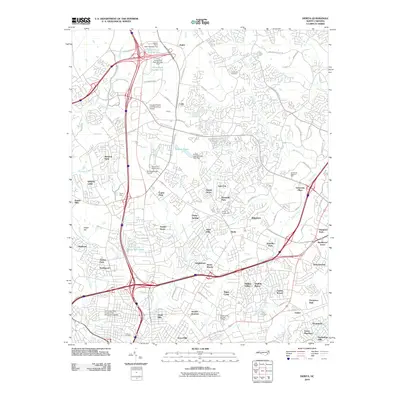
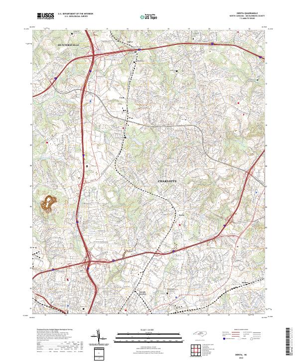 2022 Derita2022 Print · USGSNorthern Mecklenburg County comes into focus as it integrates into the Charlotte metro area during the 2020s. Genealogists can trace family names at Jonahville Cem and Oaklawn Cem or locate the historic Atando Junction.
End of results
Showing maps 1-16 of 16
Top cities near Greenbriar
- Charlotte historical maps
- Concord historical maps
- Huntersville historical maps
- Kannapolis historical maps
- Monroe historical maps
- Matthews historical maps
See more
Frequently asked questions
- What are the different types of historical maps available for Greenbriar?
- What is the oldest map of Greenbriar?
- Where can I purchase historical maps of Greenbriar for my home or office?
- Where can I download high-res historical maps of Greenbriar?
- Are there historical topographic maps available for Greenbriar?
- Is there historical aerial imagery available for Greenbriar?
- Where are historical maps of Greenbriar sourced from?