Old Maps of Hampshire Hills, Charlotte
Explore 42 old maps of Hampshire Hills, spanning from 1905 to today. These high-resolution historic maps reveal how streets, neighborhoods, landmarks, and natural features evolved over time — perfect for genealogy, metal detecting, research, and local history exploration.
What you can do with these maps:
- See how Hampshire Hills changed over time: Compare historical maps to modern-day views to trace roads, homesites, rail lines & more.
- View detailed metadata: Each map includes creators, publishers, year, scale, and archive source.
- Overlay maps with satellite & LiDAR: Visualize the past alongside modern tools to explore terrain & human change.
- Trusted historical sources: Maps sourced from the USGS, Library of Congress, and other archives.
- Access maps your way: View online, download high-res files, or order prints for personal or research use.
Start exploring old maps of Hampshire Hills to uncover forgotten places, hidden landmarks, and the deep history beneath your feet.
Hampshire Hills, Charlotte maps
(42)- 1905 Map of Charlotte
 1905 Charlotte1905 Print · USGSMecklenburg County at the start of the twentieth century shows a region connected by the early Southern Railway and a burgeoning city center. Genealogists can trace family roots through numerous rural landmarks like McClintock Church, Pineville, and Shopton.2 unique versions available
 - 1907 Map of Charlotte
 1907 Charlotte1907 Print · USGSGreater Charlotte was a bustling rail and textile corridor at the dawn of the twentieth century, bridging the two Carolinas. Genealogists can locate old family landmarks like Sutton School and Steel Creek Church or trace the early growth of Dilworth.4 unique versions available
 - 1941 Map of Charlotte
 1941 Charlotte1941 Print · USGSMecklenburg and its surrounding counties are captured here at a pivotal moment in the early 1940s. Genealogists and local historians can trace the rail-driven growth of Charlotte or locate smaller rural landmarks like Alexanders Store, Wesley Chapel, and the community at Stallings.
 - 1942 Map of Charlotte
 1942 Charlotte1942 Print · USGSCharlotte and its surrounding Piedmont communities are captured here during the early years of the Second World War. Researchers can trace the rail corridors of the Southern and Seaboard Air Line or locate family-named sites like Alexanders Store, Hoods Cross Road, and Wesley Chapel.2 unique versions available
 - 1948 Map of Derita, 1952 Print
 1948 Derita1952 Print · USGSNorth of Charlotte in the late 1940s, this area shows a rural landscape transitioning toward suburban growth along the Southern railroad. Genealogists and researchers can locate several community anchors including Derita Mineral Springs, Rockwell Sch, and Sugar Creek Ch.3 unique versions available
 - 1948 Map of Charlotte East, 1965 Print
 1948 Charlotte East1965 Print · USGSCharlotte is captured during its mid-century transition from a rail-hub textile center to a major regional city. Researchers can trace the layout of early suburbs and vanished institutional landmarks like Bethune Sta, Good Samaritan Hospital, and the original Thompson Orphanage.
 - 1949 Map of Charlotte East
 1949 Charlotte East1949 Print · USGSCharlotte is captured in the late 1940s as its streetcar suburbs and rail corridors define the urban core. Genealogists can trace family footprints through historic Elmwood Cemetery or locate old neighborhood landmarks like the Thompson Orphanage and Plaza Road Sch YMCA.
 - 1949 Map of Harrisburg
 1949 Harrisburg1949 Print · USGSThe rural borderlands between Cabarrus and Mecklenburg counties are captured here just after the war, centered on the Southern rail line. Researchers can trace ancestral locations at Back Creek Chapel, Roberta Mill, or the Newell High Sch.
 - 1949 Map of Wilgrove
 1949 Wilgrove1949 Print · USGSMecklenburg County’s rural townships are documented here during a period of steady mid-century growth. Researchers can trace ancestral locations near Mint Hill, the Delta Air Base, or early educational sites like Clear Creek Sch and Bain High Sch.2 unique versions available
 - 1953 Map of Charlotte, 1968 Print
 1953 Charlotte1968 Print · USGSThe North Carolina Piedmont and South Carolina borderlands are shown in detail during a period of significant growth and reservoir development. Trace the rail corridors of the Southern Railway or find family roots in towns like China Grove, Misenheimer, and Lincolnton.3 unique versions available
 - 1954 Map of Charlotte
 1954 Charlotte1954 Print · USGSThe North Carolina Piedmont in the mid-1950s shows a region of rapid growth and industrial expansion centered around Charlotte. Trace the era's infrastructure through the Southern railroad lines and locate significant landmarks like the Charlotte Naval Ammunition Depot and Lake Norman.2 unique versions available
 - 1960 Map of Charlotte
 1960 Charlotte1960 Print · USGSMid-century North Carolina and South Carolina meet in this 1960 survey of the Piedmont's industrial and textile heartland. Trace the growth of Charlotte alongside historic landmarks like Kings Mountain National Military Park and the Charlotte Naval Ammunition Depot.2 unique versions available
 - 1962 Map of Charlotte
 1962 Charlotte1962 Print · USGSThe North Carolina Piedmont in the early sixties showcases a landscape transformed by massive reservoirs and industrial growth. Researchers can trace the development of Lake Norman, locate the Charlotte Naval Ammunition Depot, or find family landmarks like Wesley Chapel and Brown & Norcott Mills.
 - 1967 Map of Charlotte East, 1969 Print
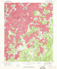 1967 Charlotte East1969 Print · USGSCharlotte is shown in a decade of rapid transformation, as its metropolitan core expands along the Southern Railway corridors. Researchers can trace the footprints of established institutions like Johnson Smith University and Evergreen Cemetery, or locate the smaller community of Rama.3 unique versions available
 - 1969 Map of Harrisburg, 1972 Print
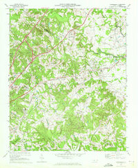 1969 Harrisburg1972 Print · USGSThe Cabarrus and Mecklenburg county line near Harrisburg was entering a period of significant growth in the late sixties. Genealogists and local historians can trace the footprint of Roberta Mills, the early Univ of North Carolina at Charlotte, and Siloam Cem.2 unique versions available
 - 1971 Map of Mint Hill, 1973 Print
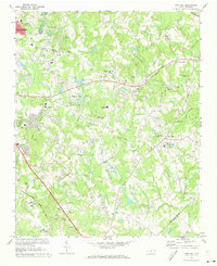 1971 Mint Hill1973 Print · USGSEastern Mecklenburg County is shown in the early seventies as small towns like Mint Hill and Wilgrove began to feel the outward expansion of Charlotte. Researchers can trace genealogical roots through dozens of local landmarks, including Philadelphia Ch, Logan Chapel, and Bain Sch.3 unique versions available
 - 1972 Map of Derita, 1973 Print
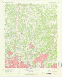 1972 Derita1973 Print · USGSNorth Mecklenburg County was undergoing a suburban transition in the early seventies as Charlotte pushed northward. Researchers can trace local heritage through the Metrolina Fairgrounds, Brockenbrough Airport, and several old country churches like Oak Grove Ch.
 - 1976 Map of Derita, 1978 Print
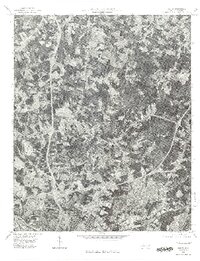 1976 Derita1978 Print · USGSNorth Charlotte and its surrounding Mecklenburg County suburbs are frozen in a moment of rapid mid-seventies growth. Local historians and genealogists can trace the early footprints of modern neighborhoods near Derita, Croft, and the northern edge of Charlotte.
 - 1985 Map of Charlotte, 1986 Print
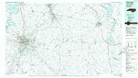 1985 Charlotte1986 Print · USGSThe Piedmont region in the mid-eighties shows the rapid growth of the Charlotte metro area alongside established textile and college towns. Trace local heritage at the Reed Gold Mine or explore the rail corridors of the Southern Railway and Winston-Salem Southbound Railway.2 unique versions available
 - 1993 Map of Derita, 1996 Print
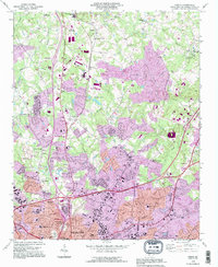 1993 Derita1996 Print · USGSNorthern Mecklenburg County enters a period of intense suburban growth in the early nineties as the Charlotte city limits expand. Genealogists and local historians can trace legacy sites like the Sugar Creek Burying Ground, Derita Mineral Spring, and the Metrolina Fairgrounds.
 - 1993 Map of Harrisburg, 1996 Print
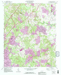 1993 Harrisburg1996 Print · USGSThe northern edges of Charlotte meet Cabarrus County in the 1990s, showing a mix of established textile heritage and modern growth. Trace the development of the UNC Charlotte campus or find local roots at Siloam Ch and Roberta Mill.
 - 1993 Map of Mint Hill, 1996 Print
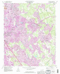 1993 Mint Hill1996 Print · USGSEastern Mecklenburg County is shown during a period of intense growth in the early nineties as residential neighborhoods pushed outward from the city. Researchers can locate long-standing community pillars like Philadelphia Ch and the Wilgrove Air Park alongside suburban expansions in Idlewild.
 - 2010 Map of Harrisburg, 2010 Print
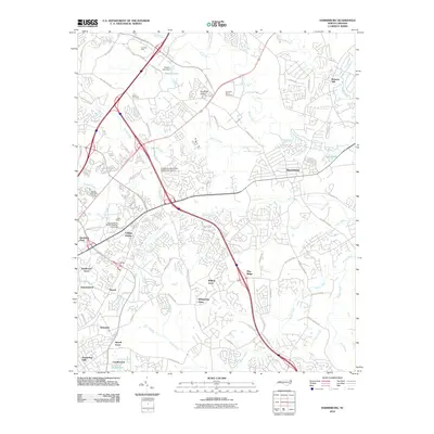 2010 Harrisburg2010 Print · USGSThe northern Charlotte suburbs are captured here at a period of rapid development and collegiate growth. Researchers can trace the layout of the University of North Carolina - Charlotte and find historic sites like Siloam Cemetery and Roberta Mill.
 - 2010 Map of Mint Hill, 2010 Print
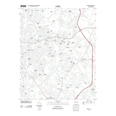 2010 Mint Hill2010 Print · USGSMecklenburg County settlement and suburban expansion are documented here during the early twenty-first century. Researchers can trace family sites and local landmarks from the Robinson Church Community to the Wilgrove Air Park and Evergreen Cemetery.
 - 2010 Map of Derita, 2010 Print
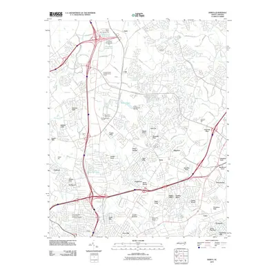 2010 Derita2010 Print · USGSMecklenburg County enters a phase of rapid suburban growth in this early 21st-century record of North Charlotte. Researchers can trace the evolution of local neighborhoods from Derita Crossroads to Hidden Valley, alongside landmarks like the Derita Burying Ground and Metrolina Fairgrounds.
Showing maps 1-25 of 42
Frequently asked questions
- What are the different types of historical maps available for Hampshire Hills?
- What is the oldest map of Hampshire Hills?
- Where can I purchase historical maps of Hampshire Hills for my home or office?
- Where can I download high-res historical maps of Hampshire Hills?
- Are there historical topographic maps available for Hampshire Hills?
- Is there historical aerial imagery available for Hampshire Hills?
- Where are historical maps of Hampshire Hills sourced from?