Old Maps of Hampshire Hills, Charlotte for Genealogy
Trace your family roots with 22 historic maps of Hampshire Hills. These high-res maps reveal old neighborhoods, homesites, landmarks, and streets — helping you uncover where your ancestors lived and how the area evolved over time.
- Explore historic neighborhoods: Identify where your relatives may have lived in the 1800s or 1900s.
- Compare maps over time: Trace the changes in streets, buildings, and landmarks for multi-generational research.
- Perfect for genealogy & ancestry research: Used by family historians and researchers to map out lineage and migration.
These maps are an incredible resource for exploring your personal connection to Hampshire Hills's past.
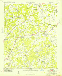
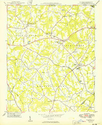
Hampshire Hills, Charlotte maps
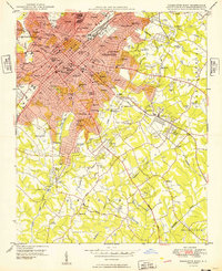
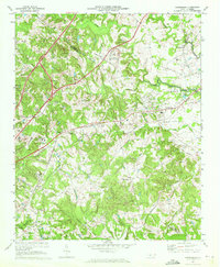
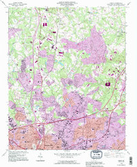
(22)- 1905 Map of Charlotte
 1905 Charlotte1905 Print · USGSCovers Hampshire Hills, including Charlotte, Matthews, and other nearby areas3 unique versions available
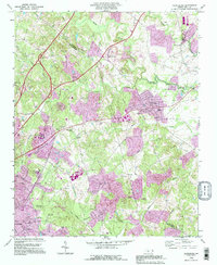
 - 1907 Map of Charlotte
 1907 Charlotte1907 Print · USGSCovers Hampshire Hills, including Charlotte, Matthews, and other nearby areas5 unique versions available
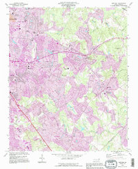
 - 1941 Map of Charlotte
 1941 Charlotte1941 Print · USGSCovers Hampshire Hills, including Charlotte, Concord, and other nearby areas
 - 1942 Map of Charlotte
 1942 Charlotte1942 Print · USGSCovers Hampshire Hills, including Charlotte, Concord, and other nearby areas2 unique versions available
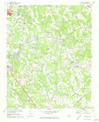
 - 1948 Map of Derita, 1952 Print
 1948 Derita1952 Print · USGSCovers Hampshire Hills, including Charlotte, Huntersville, and other nearby areas3 unique versions available
 - 1948 Map of Charlotte East, 1965 Print
 1948 Charlotte East1965 Print · USGSCovers Hampshire Hills, including Charlotte, Beverly Woods East, and other nearby areas
 - 1949 Map of Charlotte East
 1949 Charlotte East1949 Print · USGSCovers Hampshire Hills, including Charlotte, Beverly Woods East, and other nearby areas
 - 1949 Map of Harrisburg
 1949 Harrisburg1949 Print · USGSCovers Hampshire Hills, including Charlotte, Concord, and other nearby areas
 - 1949 Map of Wilgrove
 1949 Wilgrove1949 Print · USGSCovers Hampshire Hills, including Charlotte, Matthews, and other nearby areas2 unique versions available
 - 1953 Map of Charlotte, 1968 Print
 1953 Charlotte1968 Print · USGSCovers Hampshire Hills, including Charlotte, Winston-Salem, and other nearby areas3 unique versions available
 - 1954 Map of Charlotte
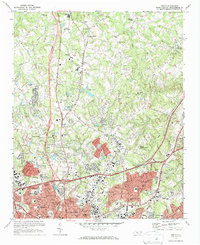
 1954 Charlotte1954 Print · USGSCovers Hampshire Hills, including Charlotte, Winston-Salem, and other nearby areas2 unique versions available
 - 1960 Map of Charlotte
 1960 Charlotte1960 Print · USGSCovers Hampshire Hills, including Charlotte, Winston-Salem, and other nearby areas2 unique versions available
 - 1962 Map of Charlotte
 1962 Charlotte1962 Print · USGSCovers Hampshire Hills, including Charlotte, Winston-Salem, and other nearby areas
 - 1967 Map of Charlotte East, 1969 Print
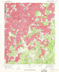 1967 Charlotte East1969 Print · USGSCovers Hampshire Hills, including Charlotte, Beverly Woods East, and other nearby areas3 unique versions available
 - 1969 Map of Harrisburg, 1972 Print
 1969 Harrisburg1972 Print · USGSCovers Hampshire Hills, including Charlotte, Concord, and other nearby areas2 unique versions available
 - 1971 Map of Mint Hill, 1973 Print
 1971 Mint Hill1973 Print · USGSCovers Hampshire Hills, including Charlotte, Matthews, and other nearby areas3 unique versions available
 - 1972 Map of Derita, 1973 Print
 1972 Derita1973 Print · USGSCovers Hampshire Hills, including Charlotte, Huntersville, and other nearby areas2 unique versions available
 - 1976 Map of Derita, 1978 Print
 1976 Derita1978 Print · USGSCovers Hampshire Hills, including Charlotte, Huntersville, and other nearby areas
 - 1985 Map of Charlotte, 1986 Print
 1985 Charlotte1986 Print · USGSCovers Hampshire Hills, including Charlotte, Concord, and other nearby areas2 unique versions available
 - 1993 Map of Derita, 1996 Print
 1993 Derita1996 Print · USGSCovers Hampshire Hills, including Charlotte, Huntersville, and other nearby areas
 - 1993 Map of Harrisburg, 1996 Print
 1993 Harrisburg1996 Print · USGSCovers Hampshire Hills, including Charlotte, Concord, and other nearby areas
 - 1993 Map of Mint Hill, 1996 Print
 1993 Mint Hill1996 Print · USGSCovers Hampshire Hills, including Charlotte, Matthews, and other nearby areas
End of results
Showing maps 1-22 of 22
Frequently asked questions
- What are the different types of historical maps available for Hampshire Hills?
- What is the oldest map of Hampshire Hills?
- Where can I purchase historical maps of Hampshire Hills for my home or office?
- Where can I download high-res historical maps of Hampshire Hills?
- Are there historical topographic maps available for Hampshire Hills?
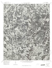
- Is there historical aerial imagery available for Hampshire Hills?
- Where are historical maps of Hampshire Hills sourced from?