2000s (21st Century) Maps of Kingswood, Charlotte
Explore 10 historic maps of Kingswood from the 2000s (21st Century). These maps offer a rare glimpse into what life looked like during the 2000s — showing old roads, neighborhoods, homes, and landmarks that have changed or disappeared over time.
Whether you're researching your family's past, planning a metal detecting trip, or studying how Kingswood's landscape evolved across the 2000s, these high-resolution maps are a powerful tool for exploring the history of this region.
- Focus on a specific era: All maps on this page are from the 2000s, giving you a focused view of this time period.
- See what’s changed: Compare century-old streets, trails, and buildings to today's modern landscape using overlays and satellite layers.
- Research with precision: Use these maps for genealogy, historical research, land use analysis, or educational projects.
- View, download, or print: Maps are fully viewable online in high resolution, and can be downloaded or printed for your own records.
Start exploring Kingswood's history through authentic maps from the 2000s. This is your window into the past.
Kingswood, Charlotte maps
(10)- 2010 Map of Charlotte East, 2010 Print
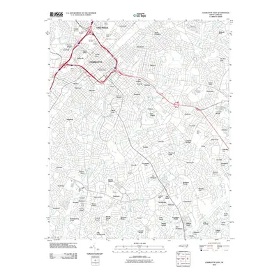 2010 Charlotte East2010 Print · USGSCovers Kingswood, including Charlotte, Providence Park, and other nearby areas
 - 2011 Map of Weddington, 2011 Print
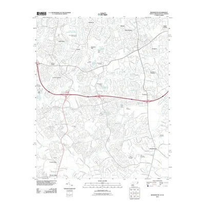 2011 Weddington2011 Print · USGSCovers Kingswood, including Charlotte, Matthews, and other nearby areas
 - 2013 Map of Weddington, 2013 Print
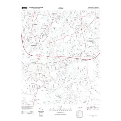 2013 Weddington2013 Print · USGSCovers Kingswood, including Charlotte, Matthews, and other nearby areas
 - 2013 Map of Charlotte East, 2013 Print
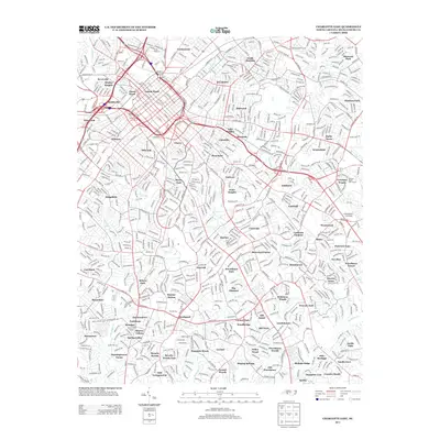 2013 Charlotte East2013 Print · USGSCovers Kingswood, including Charlotte, Providence Park, and other nearby areas
 - 2016 Map of Weddington, 2016 Print
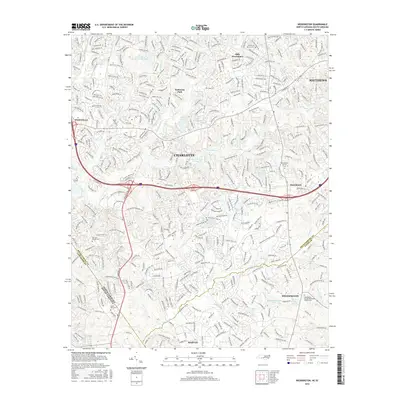 2016 Weddington2016 Print · USGSCovers Kingswood, including Charlotte, Matthews, and other nearby areas
 - 2016 Map of Charlotte East, 2016 Print
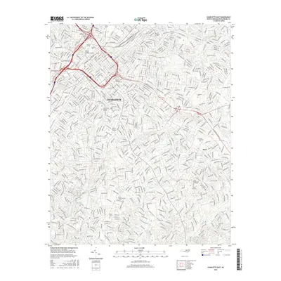 2016 Charlotte East2016 Print · USGSCovers Kingswood, including Charlotte, Providence Park, and other nearby areas
 - 2019 Map of Weddington, 2019 Print
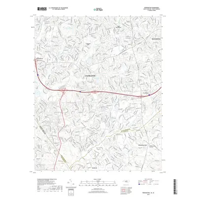 2019 Weddington2019 Print · USGSCovers Kingswood, including Charlotte, Matthews, and other nearby areas
 - 2019 Map of Charlotte East, 2019 Print
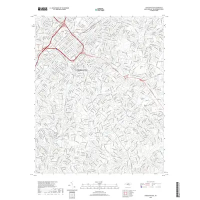 2019 Charlotte East2019 Print · USGSCovers Kingswood, including Charlotte, Providence Park, and other nearby areas
 - 2022 Map of Weddington, 2022 Print
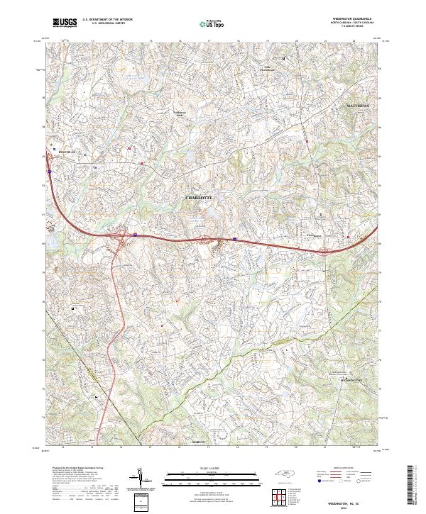 2022 Weddington2022 Print · USGSThe borderlands of Union and Mecklenburg counties are captured here in a period of significant suburban growth. Researchers can locate family heritage sites at the Providence Church Cem or trace the many branches of Sixmile Cr.
 - 2022 Map of Charlotte East, 2022 Print
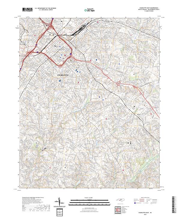 2022 Charlotte East2022 Print · USGSCharlotte is documented here in the early 2020s, showcasing the city center's expansion alongside its historic cemeteries. Genealogists can trace family sites at the Sardis Slave Cem, Old Settlers Cem, and the venerable Sardis Presbyterian Church.
End of results
Showing maps 1-10 of 10
Top cities near Kingswood
- Charlotte historical maps
- Concord historical maps
- Rock Hill historical maps
- Huntersville historical maps
- Monroe historical maps
- Matthews historical maps
See more
Frequently asked questions
- What are the different types of historical maps available for Kingswood?
- What is the oldest map of Kingswood?
- Where can I purchase historical maps of Kingswood for my home or office?
- Where can I download high-res historical maps of Kingswood?
- Are there historical topographic maps available for Kingswood?
- Is there historical aerial imagery available for Kingswood?
- Where are historical maps of Kingswood sourced from?