2000s (21st Century) Maps of Matthews, North Carolina
Explore 15 historic maps of Matthews from the 2000s (21st Century). These maps offer a rare glimpse into what life looked like during the 2000s — showing old roads, neighborhoods, homes, and landmarks that have changed or disappeared over time.
Whether you're researching your family's past, planning a metal detecting trip, or studying how Matthews's landscape evolved across the 2000s, these high-resolution maps are a powerful tool for exploring the history of this region.
- Focus on a specific era: All maps on this page are from the 2000s, giving you a focused view of this time period.
- See what’s changed: Compare century-old streets, trails, and buildings to today's modern landscape using overlays and satellite layers.
- Research with precision: Use these maps for genealogy, historical research, land use analysis, or educational projects.
- View, download, or print: Maps are fully viewable online in high resolution, and can be downloaded or printed for your own records.
Start exploring Matthews's history through authentic maps from the 2000s. This is your window into the past.
Matthews, NC maps
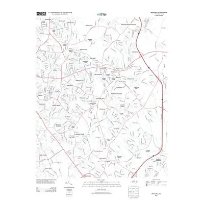
(15)- 2010 Map of Mint Hill, 2010 Print
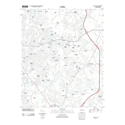 2010 Mint Hill2010 Print · USGSCovers Matthews, including Charlotte, Mint Hill, and other nearby areas
 - 2010 Map of Matthews, 2010 Print
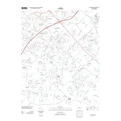
 2010 Matthews2010 Print · USGSCovers Matthews, including Charlotte, Monroe, and other nearby areas
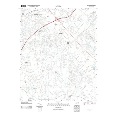
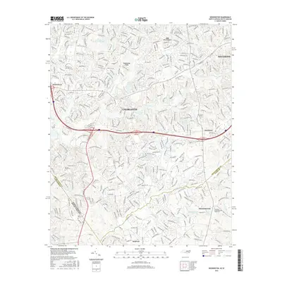
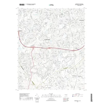
 - 2011 Map of Weddington, 2011 Print
 2011 Weddington2011 Print · USGSCovers Matthews, including Charlotte, Indian Land, and other nearby areas
 - 2013 Map of Weddington, 2013 Print
 2013 Weddington2013 Print · USGSCovers Matthews, including Charlotte, Indian Land, and other nearby areas
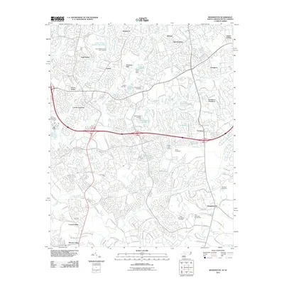
 - 2013 Map of Matthews, 2013 Print
 2013 Matthews2013 Print · USGSCovers Matthews, including Charlotte, Monroe, and other nearby areas
 - 2013 Map of Mint Hill, 2013 Print
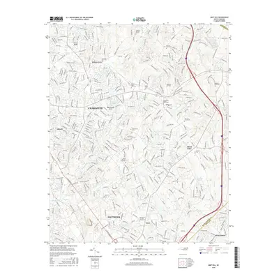
 2013 Mint Hill2013 Print · USGSCovers Matthews, including Charlotte, Mint Hill, and other nearby areas
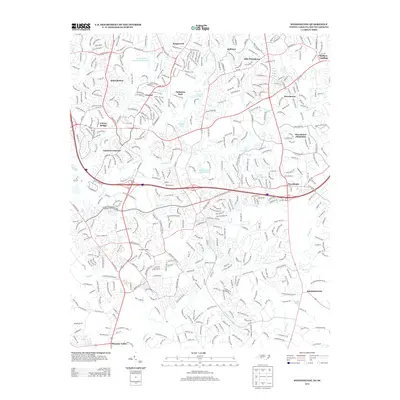
 - 2016 Map of Weddington, 2016 Print
 2016 Weddington2016 Print · USGSCovers Matthews, including Charlotte, Indian Land, and other nearby areas
 - 2016 Map of Mint Hill, 2016 Print
 2016 Mint Hill2016 Print · USGSCovers Matthews, including Charlotte, Mint Hill, and other nearby areas
 - 2016 Map of Matthews, 2016 Print
 2016 Matthews2016 Print · USGSCovers Matthews, including Charlotte, Monroe, and other nearby areas
 - 2019 Map of Weddington, 2019 Print
 2019 Weddington2019 Print · USGSCovers Matthews, including Charlotte, Indian Land, and other nearby areas
 - 2019 Map of Mint Hill, 2019 Print
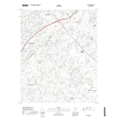
 2019 Mint Hill2019 Print · USGSCovers Matthews, including Charlotte, Mint Hill, and other nearby areas
 - 2019 Map of Matthews, 2019 Print
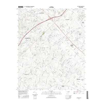
 2019 Matthews2019 Print · USGSCovers Matthews, including Charlotte, Monroe, and other nearby areas
 - 2022 Map of Mint Hill, 2022 Print
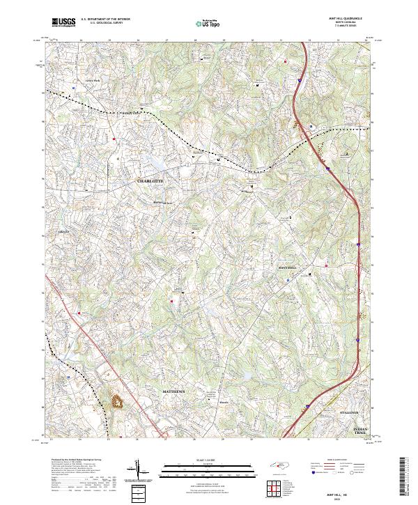 2022 Mint Hill2022 Print · USGSThe eastern edges of Mecklenburg County are shown here in the 2020s, documenting the suburban growth and historic community hubs of MINT HILL and MATTHEWS. Genealogists can locate numerous community landmarks such as Bethel AME Zion Church Cem and Morning Star Lutheran Church Cem.
 - 2022 Map of Matthews, 2022 Print
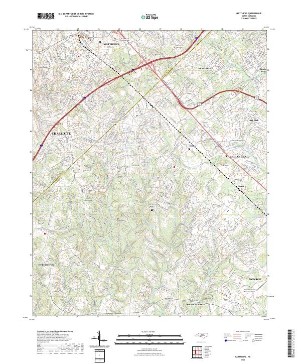 2022 Matthews2022 Print · USGSMecklenburg and Union Counties meet in this modern survey of the growing corridor southeast of Charlotte. Trace the suburban evolution of Matthews and Indian Trail while locating family sites at Antioch Baptist Church Cem and the Seaboard Coast Line RR.
 - 2022 Map of Weddington, 2022 Print
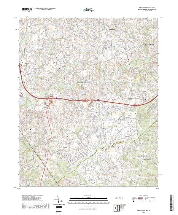 2022 Weddington2022 Print · USGSThe borderlands of Union and Mecklenburg counties are captured here in a period of significant suburban growth. Researchers can locate family heritage sites at the Providence Church Cem or trace the many branches of Sixmile Cr.
End of results
Showing maps 1-15 of 15
Top cities near Matthews
- Charlotte historical maps
- Concord historical maps
- Rock Hill historical maps
- Huntersville historical maps
- Monroe historical maps
- Fort Mill historical maps
See more
Top neighborhoods of Matthews
- Hoods historical maps
- Olde Creek historical maps
- Windrow historical maps
- Club View Acres historical maps
- Matthews Park historical maps
- Forest Ridge / Wood Hollow historical maps
See more
Frequently asked questions
- What are the different types of historical maps available for Matthews?
- What is the oldest map of Matthews?
- Where can I purchase historical maps of Matthews for my home or office?
- Where can I download high-res historical maps of Matthews?
- Are there historical topographic maps available for Matthews?
- Is there historical aerial imagery available for Matthews?
- Where are historical maps of Matthews sourced from?