Old Maps of Chip, North Carolina for Genealogy
Trace your family roots with 12 historic maps of Chip. These high-res maps reveal old neighborhoods, homesites, landmarks, and streets — helping you uncover where your ancestors lived and how the area evolved over time.
- Explore historic neighborhoods: Identify where your relatives may have lived in the 1800s or 1900s.
- Compare maps over time: Trace the changes in streets, buildings, and landmarks for multi-generational research.
- Perfect for genealogy & ancestry research: Used by family historians and researchers to map out lineage and migration.
These maps are an incredible resource for exploring your personal connection to Chip's past.
Chip, NC maps
(12)- 1942 Map of Troy
 1942 Troy1942 Print · USGSMid-century central North Carolina comes alive through this 1940s survey of the rail-linked towns between the Uwharrie hills and the Sandhills. Trace the historic Norfolk Southern line through Troy, Star, and Biscoe, or locate the Morrison Training School and local springs.
 - 1953 Map of Raleigh, 1965 Print
 1953 Raleigh1965 Print · USGSCentral North Carolina in the early sixties shows a landscape of growing towns and military hubs before the full expansion of the interstate system. Genealogists can trace family footprints across the Piedmont through Wake Forest, Siler City, and the large Fort Bragg Military Reservation.4 unique versions available
 - 1954 Map of Raleigh
 1954 Raleigh1954 Print · USGSThe North Carolina Piedmont and Sandhills are captured in the mid-fifties during a period of steady regional growth. Genealogists and historians can trace the development of towns like Siler City or locate landmarks such as Falls of Neuse and Camp Mackall.
 - 1957 Map of Troy, 1958 Print
 1957 Troy1958 Print · USGSMontgomery County was a landscape of river-valley settlements and rural industry in the late fifties. Genealogists and historians can trace family-named landmarks and remote communities like Ophir or Flint Hill, along with dozens of local steeples including Clarks Grove Ch and Ropers Grove Ch.2 unique versions available
 - 1982 Map of Troy, 1983 Print
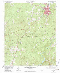 1982 Troy1983 Print · USGSTroy and the surrounding Uwharrie hills are captured here in the early eighties, showing a landscape shaped by the timber industry and the Little River. Genealogists can trace family names at Ropers Grove Cem, Liberty Ch, and the small settlement of Wadeville.
 - 1982 Map of Southern Pines, 1983 Print
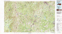 1982 Southern Pines1983 Print · USGSCentral North Carolina in the early eighties shows a landscape defined by military expansion and historic rail corridors. Researchers can trace the legacy of the Seaboard Coast Line through Pinehurst or locate landmarks like the Town Creek Indian Mound State Historic Site.
 - 1994 Map of Troy, 1996 Print
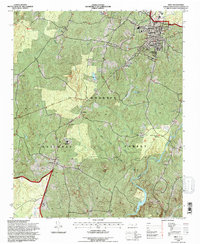 1994 Troy1996 Print · USGSTroy and the surrounding Piedmont hills are captured here in the 1990s as the rail and timber landscape transitioned. Genealogists can locate family landmarks such as Ropers Grove Cem, Liberty Hill, and the Clarks Grove Ch near the national forest.
 - 2011 Map of Troy, 2011 Print
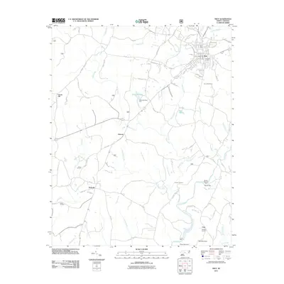 2011 Troy2011 Print · USGSTroy and the surrounding Piedmont country are captured here in the early twenty-first century as the area maintained its rural character. Genealogists can locate family burial sites like Bruton and Chisolm or trace the waters of the Little River.
 - 2013 Map of Troy, 2013 Print
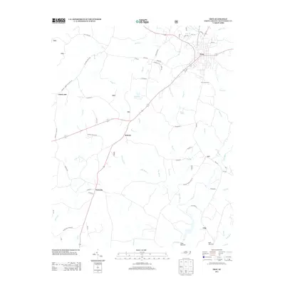 2013 Troy2013 Print · USGSMontgomery County’s rural crossroads and forested ridges are preserved here just after the turn of the millennium. Local researchers can trace family lands near Wadeville and Roberdo, or locate landmarks like the Troy Lookout Tower and Buck Mountain.
 - 2016 Map of Troy, 2016 Print
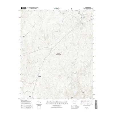 2016 Troy2016 Print · USGSMontgomery County’s timbered ridges and rural crossroads are captured here during the mid-2010s. Local researchers can locate numerous family burial grounds like McRae Cem and Haywood Cem or trace the winding course of the Little River near Wadeville.
 - 2019 Map of Troy, 2019 Print
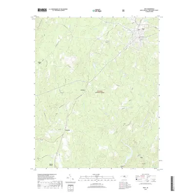 2019 Troy2019 Print · USGSMontgomery County’s central forest lands are documented here in the late twenty-teens, showing the area's mix of timberland and rural settlements. Genealogists and hikers can trace connections between Troy and Wadeville, locating rural sites like Chisolm Cem and Duck Lake.
 - 2022 Map of Troy, 2022 Print
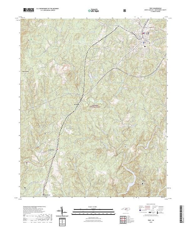 2022 Troy2022 Print · USGSTroy and the southern Piedmont landscape come to life in this modern survey of central Montgomery County. Genealogists can trace family landmarks like Ropers Grove Cem and Chisolm Cem or locate rural communities such as Roberdo and Wadeville.
End of results
Showing maps 1-12 of 12
Top cities near Chip
- Troy historical maps
- Norwood historical maps
- Biscoe historical maps
- Mount Gilead historical maps
- Badin historical maps
- Ellerbe historical maps
See more
Frequently asked questions
- What are the different types of historical maps available for Chip?
- What is the oldest map of Chip?
- Where can I purchase historical maps of Chip for my home or office?
- Where can I download high-res historical maps of Chip?
- Are there historical topographic maps available for Chip?
- Is there historical aerial imagery available for Chip?
- Where are historical maps of Chip sourced from?