Old Maps of Ether, North Carolina for Academic Research
Study the evolution of Ether with 12 high-resolution historic maps. Whether you're teaching, researching, or modeling changes in land use, these maps provide essential visual documentation of urban, environmental, and geographic change.
- Analyze long-term change: Track patterns in development, transportation, and natural features.
- Ideal for environmental or urban studies: Support academic projects with primary historical map data.
- Use in the classroom or lab: Educators and researchers rely on these maps to bring historical context to life.
These maps are a powerful tool for teaching, research, and visualizing how Ether has changed over the decades.
Ether, NC maps
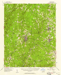
(12)- 1942 Map of Troy
 1942 Troy1942 Print · USGSMid-century central North Carolina comes alive through this 1940s survey of the rail-linked towns between the Uwharrie hills and the Sandhills. Trace the historic Norfolk Southern line through Troy, Star, and Biscoe, or locate the Morrison Training School and local springs.
 - 1953 Map of Raleigh, 1965 Print
 1953 Raleigh1965 Print · USGSCentral North Carolina in the early sixties shows a landscape of growing towns and military hubs before the full expansion of the interstate system. Genealogists can trace family footprints across the Piedmont through Wake Forest, Siler City, and the large Fort Bragg Military Reservation.4 unique versions available
 - 1954 Map of Raleigh
 1954 Raleigh1954 Print · USGSThe North Carolina Piedmont and Sandhills are captured in the mid-fifties during a period of steady regional growth. Genealogists and historians can trace the development of towns like Siler City or locate landmarks such as Falls of Neuse and Camp Mackall.
 - 1957 Map of Troy, 1958 Print
 1957 Troy1958 Print · USGSMontgomery County was a landscape of river-valley settlements and rural industry in the late fifties. Genealogists and historians can trace family-named landmarks and remote communities like Ophir or Flint Hill, along with dozens of local steeples including Clarks Grove Ch and Ropers Grove Ch.2 unique versions available
 - 1982 Map of Southern Pines, 1983 Print
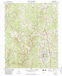
 1982 Southern Pines1983 Print · USGSCentral North Carolina in the early eighties shows a landscape defined by military expansion and historic rail corridors. Researchers can trace the legacy of the Seaboard Coast Line through Pinehurst or locate landmarks like the Town Creek Indian Mound State Historic Site.
 - 1983 Map of Star
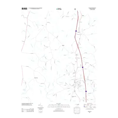
 1983 Star1983 Print · USGSMontgomery County in the early eighties shows a transition from forest and mining to a rail-centered community. Trace local family history and industry through landmarks like Black Ankle Mine, the Star Sch, and Forks of Little River Ch.
 - 1994 Map of Star, 1996 Print
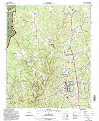 1994 Star1996 Print · USGSCentral North Carolina settlement and the Uwharrie foothills are shown here in the mid-nineties. Trace family roots at Forks of Little River Ch or locate industrial sites like the Black Eagle Mine and the Norfolk Southern rail line.
 - 2011 Map of Star, 2011 Print
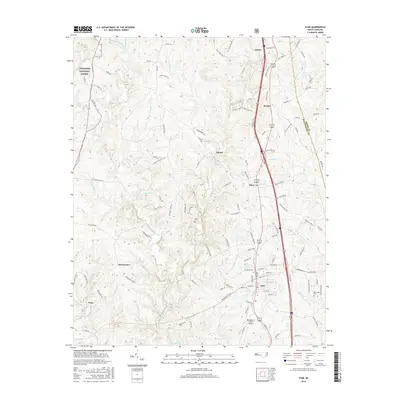
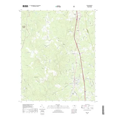
 2011 Star2011 Print · USGSCovers Ether, including Troy, Star, and other nearby areas
 - 2013 Map of Star, 2013 Print
 2013 Star2013 Print · USGSCovers Ether, including Troy, Star, and other nearby areas
 - 2016 Map of Star, 2016 Print
 2016 Star2016 Print · USGSCovers Ether, including Troy, Star, and other nearby areas
 - 2019 Map of Star, 2019 Print
 2019 Star2019 Print · USGSCovers Ether, including Troy, Star, and other nearby areas
 - 2022 Map of Star, 2022 Print
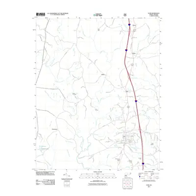
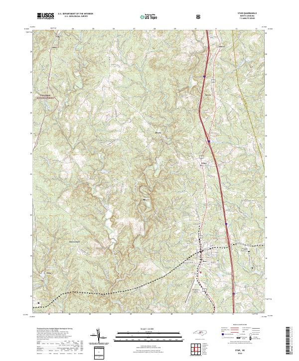 2022 Star2022 Print · USGSThe rural communities of central North Carolina thrive here in the 2020s, centered around the railroad and airfield. Genealogists and historians can trace family locations near the New Hope Baptist Church Cem, Allen Cem, and the settlement of Okeewemee.
End of results
Showing maps 1-12 of 12
Top cities near Ether
- Asheboro historical maps
- Seven Lakes historical maps
- Troy historical maps
- Biscoe historical maps
- Mount Gilead historical maps
- Robbins historical maps
See more
Frequently asked questions
- What are the different types of historical maps available for Ether?
- What is the oldest map of Ether?
- Where can I purchase historical maps of Ether for my home or office?
- Where can I download high-res historical maps of Ether?
- Are there historical topographic maps available for Ether?
- Is there historical aerial imagery available for Ether?
- Where are historical maps of Ether sourced from?