Old Maps of Cameron, North Carolina for Hiking & Exploration
Hike through history with 15 historic maps of Cameron. Explore old trails, ghost towns, and forgotten backroads — perfect for outdoor adventurers and local explorers.
- Rediscover forgotten places: Map out old mining camps, roads, and footpaths that no longer exist on modern maps.
- Layer with modern tools: Combine with LiDAR or satellite views to plan hikes through historical terrain.
- Made for exploration: Popular among hikers, overlanders, and local history lovers.
Use these maps to find adventure and explore the hidden past of Cameron.
Cameron, NC maps
(15)- 1953 Map of Raleigh, 1965 Print
 1953 Raleigh1965 Print · USGSCentral North Carolina in the early sixties shows a landscape of growing towns and military hubs before the full expansion of the interstate system. Genealogists can trace family footprints across the Piedmont through Wake Forest, Siler City, and the large Fort Bragg Military Reservation.4 unique versions available
 - 1954 Map of Raleigh
 1954 Raleigh1954 Print · USGSThe North Carolina Piedmont and Sandhills are captured in the mid-fifties during a period of steady regional growth. Genealogists and historians can trace the development of towns like Siler City or locate landmarks such as Falls of Neuse and Camp Mackall.
 - 1957 Map of Murchisontown, 1958 Print
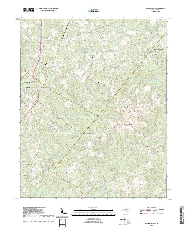
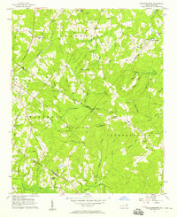 1957 Murchisontown1958 Print · USGSIn the late fifties, the rural borders of Harnett, Lee, and Moore Counties remained a landscape of timber and tobacco farms tied together by country churches. Researchers can locate numerous local landmarks including McIver Sch, Murchison Chapel, and an ancient Indian Mound near Huckleberry Pond.2 unique versions available
 - 1974 Map of Vass, 1976 Print
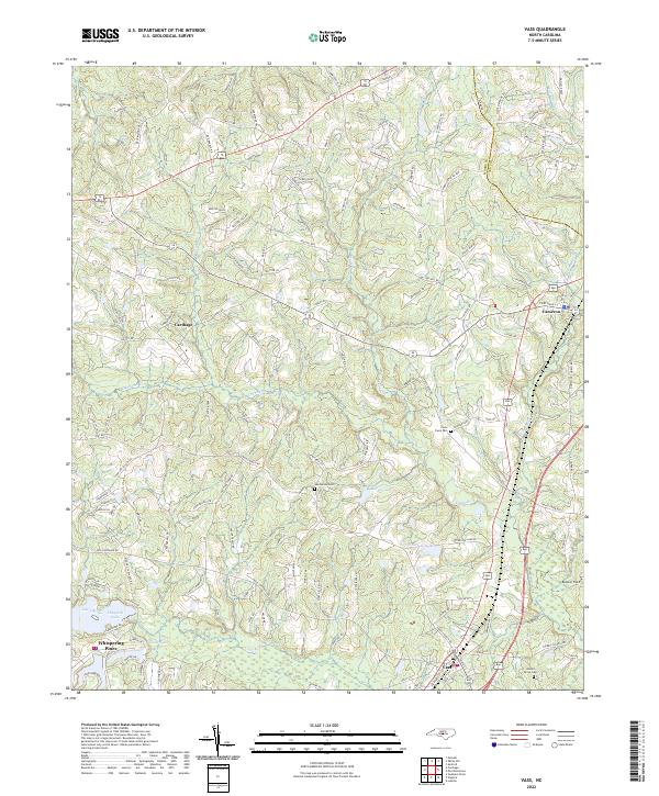
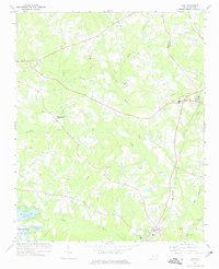 1974 Vass1976 Print · USGSMoore County in the mid-seventies shows a landscape of established rail towns and emerging residential developments near the Lee County line. Genealogists and local historians can trace family-named sites like Henderson Cem, Stones Chapel, and the Seaboard Coast Line through Vass.
 - 1982 Map of Southern Pines, 1983 Print
 1982 Southern Pines1983 Print · USGSCentral North Carolina in the early eighties shows a landscape defined by military expansion and historic rail corridors. Researchers can trace the legacy of the Seaboard Coast Line through Pinehurst or locate landmarks like the Town Creek Indian Mound State Historic Site.
 - 2010 Map of Murchisontown, 2010 Print
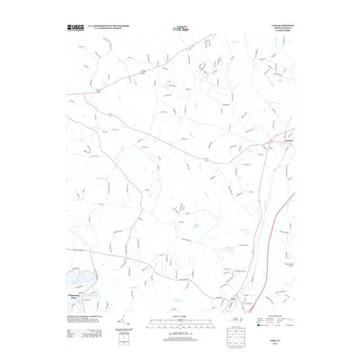
 2010 Murchisontown2010 Print · USGSCovers Cameron, including Carolina Seasons, Murchisontown, and other nearby areas
 - 2010 Map of Vass, 2010 Print
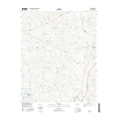
 2010 Vass2010 Print · USGSCovers Cameron, including Whispering Pines, Carthage, and other nearby areas
 - 2013 Map of Vass, 2013 Print
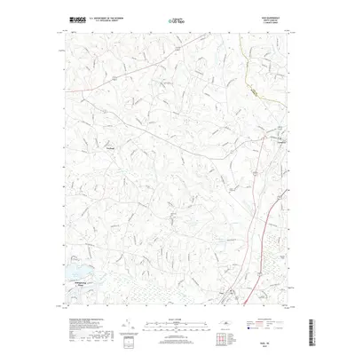
 2013 Vass2013 Print · USGSCovers Cameron, including Whispering Pines, Carthage, and other nearby areas
 - 2013 Map of Murchisontown, 2013 Print
 2013 Murchisontown2013 Print · USGSCovers Cameron, including Carolina Seasons, Murchisontown, and other nearby areas
 - 2016 Map of Vass, 2016 Print
 2016 Vass2016 Print · USGSCovers Cameron, including Whispering Pines, Carthage, and other nearby areas
 - 2016 Map of Murchisontown, 2016 Print
 2016 Murchisontown2016 Print · USGSCovers Cameron, including Carolina Seasons, Murchisontown, and other nearby areas
 - 2019 Map of Vass, 2019 Print
 2019 Vass2019 Print · USGSCovers Cameron, including Whispering Pines, Carthage, and other nearby areas
 - 2019 Map of Murchisontown, 2019 Print
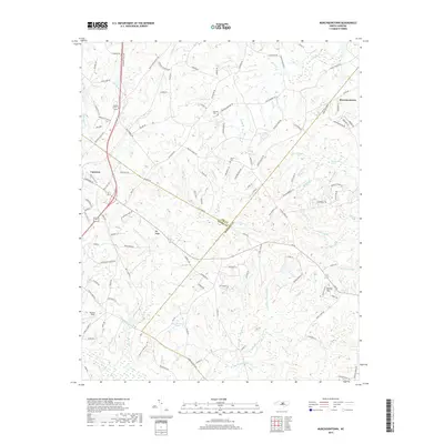 2019 Murchisontown2019 Print · USGSCovers Cameron, including Carolina Seasons, Murchisontown, and other nearby areas
 - 2022 Map of Vass, 2022 Print
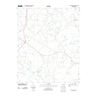
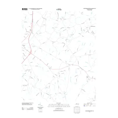
 2022 Vass2022 Print · USGSThe Moore County Sandhills appear in modern detail, capturing the growth and rural character of central North Carolina. Genealogists and historians can trace family locations near the Henderson Cemetery, Johnson Grove Cemetery, and the historic town of Vass.
 - 2022 Map of Murchisontown, 2022 Print
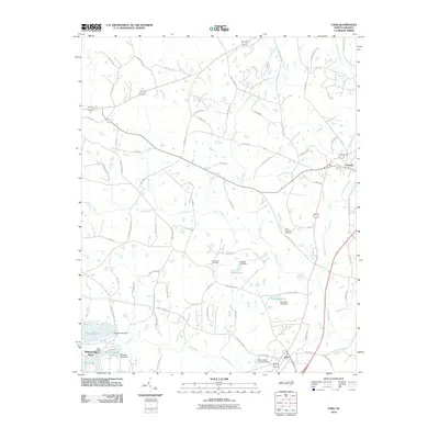
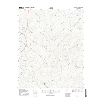
 2022 Murchisontown2022 Print · USGSThe rural landscapes of the Carolina Sandhills come into focus here, where Moore, Lee, and Harnett counties meet. Researchers can trace ancestral sites and small settlements including Murchisontown, Cameron, and family plots like McQueen Cem and Pierce Cem.
End of results
Showing maps 1-15 of 15
Top cities near Cameron
- Fayetteville historical maps
- Sanford historical maps
- Linden Oaks historical maps
- Pinehurst historical maps
- Southern Pines historical maps
- Aberdeen historical maps
See more
Frequently asked questions
- What are the different types of historical maps available for Cameron?
- What is the oldest map of Cameron?
- Where can I purchase historical maps of Cameron for my home or office?
- Where can I download high-res historical maps of Cameron?
- Are there historical topographic maps available for Cameron?
- Is there historical aerial imagery available for Cameron?
- Where are historical maps of Cameron sourced from?