Old Maps of Rehoboth, North Carolina for Metal Detecting
Plan your next treasure hunt with 10 historic maps of Rehoboth. Find old homesites, ghost towns, trails, and gathering spots that may be lost to time — perfect for identifying promising metal detecting locations.
- Locate forgotten sites: Uncover places like long-lost settlements, abandoned rail lines, or gathering spots.
- Plan better hunts: Use map overlays combined with LiDAR or satellite views to narrow in on historically rich areas.
- Made for detectorists: Thousands of hobbyists use these maps to discover relics, coins, and hidden history.
Use these historic maps to boost your research and find new opportunities beneath the surface of Rehoboth.
Rehoboth, NC maps
(10)- 1953 Map of Norfolk, 1954 Print
 1953 Norfolk1954 Print · USGSCoastal Virginia and northeastern North Carolina appear here during the post-war industrial boom, showing the critical rail-and-sea connections of Hampton Roads. Genealogists can trace family roots through rural landmarks like Gethsemane Ch, the Caledonia State Prison Farm, and the vast interior of the Dismal Swamp.4 unique versions available
 - 1974 Map of Boones Crossroads, 1977 Print
 1974 Boones Crossroads1977 Print · USGSNorthampton and Halifax counties are shown here in the mid-seventies, defined by the winding Roanoke River and its vast swamp networks. Trace the legacy of rural communities at Boones Crossroads or find old family landmarks near Parker Chapel and Tillery.
 - 1977 Map of Boones Crossroads, 1979 Print
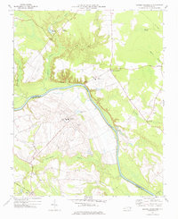
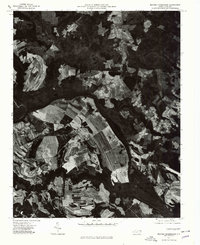 1977 Boones Crossroads1979 Print · USGSNorthampton County in the late seventies is captured in this detailed aerial study of the river-bottom landscape. Genealogists and local historians can pinpoint family farmsteads and old communities like Rehoboth, Hillery, and Boones Crossroads.
 - 1985 Map of Roanoke Rapids
 1985 Roanoke Rapids1985 Print · USGSNorthern North Carolina's river-driven economy is on display here in the mid-1980s, from the hydro-power at Roanoke Rapids to the rural millponds. Genealogists can trace family lands near Wiccacanee Pond, Mush Island, or the remote Urahaw Swamp.2 unique versions available
 - 1997 Map of Boones Crossroads, 2000 Print
 1997 Boones Crossroads2000 Print · USGSThe Roanoke River valley in the late twentieth century is a landscape of expansive wetlands and prison farms. Researchers can trace the Old RR Grade and locate rural landmarks like Boones Crossroads, Tillery Chapel, and Barrows Millpond.
 - 2010 Map of Boones Crossroads, 2010 Print
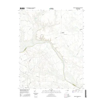
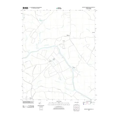 2010 Boones Crossroads2010 Print · USGSCovers Rehoboth, including Boones Crossroads, Tillery, and other nearby areas
 - 2013 Map of Boones Crossroads, 2013 Print
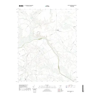
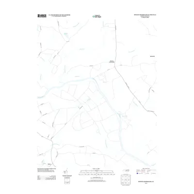 2013 Boones Crossroads2013 Print · USGSCovers Rehoboth, including Boones Crossroads, Tillery, and other nearby areas
 - 2016 Map of Boones Crossroads, 2016 Print
 2016 Boones Crossroads2016 Print · USGSCovers Rehoboth, including Boones Crossroads, Tillery, and other nearby areas
 - 2019 Map of Boones Crossroads, 2019 Print
 2019 Boones Crossroads2019 Print · USGSCovers Rehoboth, including Boones Crossroads, Tillery, and other nearby areas
 - 2022 Map of Boones Crossroads, 2022 Print
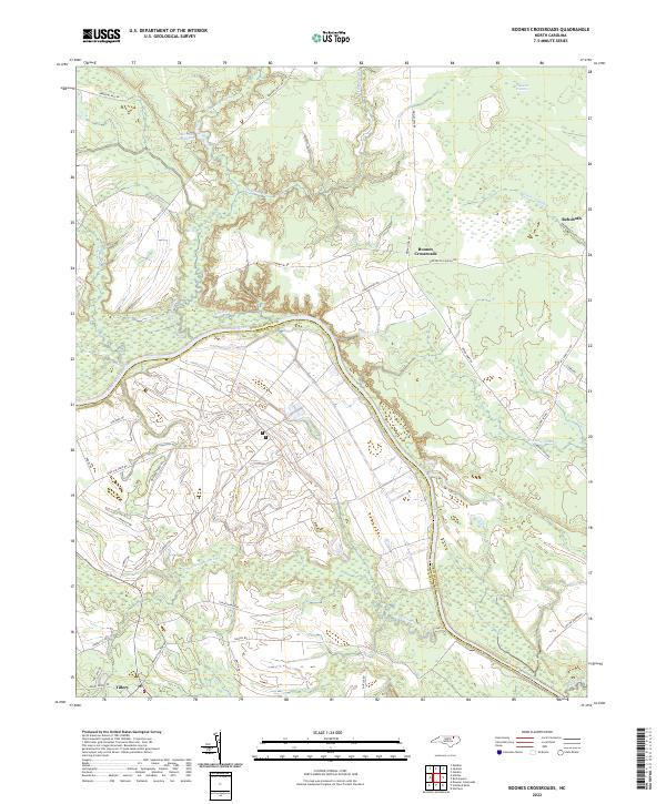 2022 Boones Crossroads2022 Print · USGSCoastal plain wetlands and small rural settlements dominate this 2020s landscape along the Roanoke River. Genealogists and researchers can trace local road networks like Bridgers Ferry Rd and locate landmarks such as Barrows Millpond or Boones Crossroads.
End of results
Showing maps 1-10 of 10
Top cities near Rehoboth
- Scotland Neck historical maps
- Weldon historical maps
- Garysburg historical maps
- Rich Square historical maps
- Woodland historical maps
- Conway historical maps
See more
Frequently asked questions
- What are the different types of historical maps available for Rehoboth?
- What is the oldest map of Rehoboth?
- Where can I purchase historical maps of Rehoboth for my home or office?
- Where can I download high-res historical maps of Rehoboth?
- Are there historical topographic maps available for Rehoboth?
- Is there historical aerial imagery available for Rehoboth?
- Where are historical maps of Rehoboth sourced from?