Old Maps of Woodland, North Carolina for Metal Detecting
Plan your next treasure hunt with 15 historic maps of Woodland. Find old homesites, ghost towns, trails, and gathering spots that may be lost to time — perfect for identifying promising metal detecting locations.
- Locate forgotten sites: Uncover places like long-lost settlements, abandoned rail lines, or gathering spots.
- Plan better hunts: Use map overlays combined with LiDAR or satellite views to narrow in on historically rich areas.
- Made for detectorists: Thousands of hobbyists use these maps to discover relics, coins, and hidden history.
Use these historic maps to boost your research and find new opportunities beneath the surface of Woodland.
Woodland, NC maps
(15)- 1953 Map of Norfolk, 1954 Print
 1953 Norfolk1954 Print · USGSCoastal Virginia and northeastern North Carolina appear here during the post-war industrial boom, showing the critical rail-and-sea connections of Hampton Roads. Genealogists can trace family roots through rural landmarks like Gethsemane Ch, the Caledonia State Prison Farm, and the vast interior of the Dismal Swamp.4 unique versions available
 - 1974 Map of Rich Square, 1977 Print
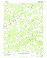
 1974 Rich Square1977 Print · USGSCoastal plain settlements in Northampton County thrive during the mid-seventies, centered on the rail crossroads of Rich Square. Researchers can trace old family roots through numerous landmarks like Cumbo Chapel, Creecy Sch, and the Northeast Academy.
 - 1977 Map of Woodland, 1978 Print
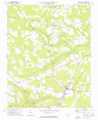
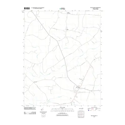
 1977 Woodland1978 Print · USGSNorthampton County during the 1970s remained a landscape of rural crossroads and rail-connected towns. Genealogists can trace family footprints through numerous church sites like Pleasant Grove Ch and the many unnamed Cem scattered near Eagletown and George.
 - 1985 Map of Roanoke Rapids
 1985 Roanoke Rapids1985 Print · USGSNorthern North Carolina's river-driven economy is on display here in the mid-1980s, from the hydro-power at Roanoke Rapids to the rural millponds. Genealogists can trace family lands near Wiccacanee Pond, Mush Island, or the remote Urahaw Swamp.2 unique versions available
 - 1997 Map of Rich Square, 2000 Print
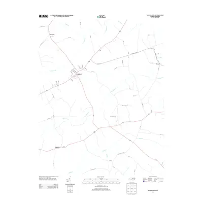
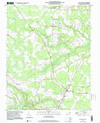 1997 Rich Square2000 Print · USGSNorthampton County during the late twentieth century reveals a landscape shaped by coastal swamps and rural crossroads. Genealogists and historians can trace family-named sites and vanished routes, from the Old Railroad Grade to the Creecy Sch and Rich Square.
 - 2010 Map of Woodland, 2010 Print
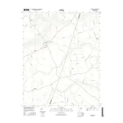
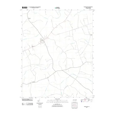 2010 Woodland2010 Print · USGSCovers Woodland, including Eagletown, Menola, and other nearby areas
 - 2010 Map of Rich Square, 2010 Print
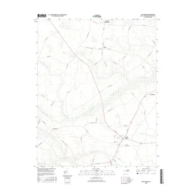
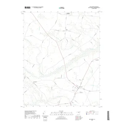
 2010 Rich Square2010 Print · USGSCovers Woodland, including Rich Square, Lasker, and other nearby areas
 - 2013 Map of Woodland, 2013 Print
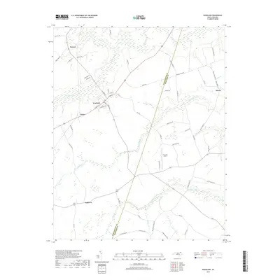
 2013 Woodland2013 Print · USGSCovers Woodland, including Eagletown, Menola, and other nearby areas
 - 2013 Map of Rich Square, 2013 Print
 2013 Rich Square2013 Print · USGSCovers Woodland, including Rich Square, Lasker, and other nearby areas
 - 2016 Map of Rich Square, 2016 Print
 2016 Rich Square2016 Print · USGSCovers Woodland, including Rich Square, Lasker, and other nearby areas
 - 2016 Map of Woodland, 2016 Print
 2016 Woodland2016 Print · USGSCovers Woodland, including Eagletown, Menola, and other nearby areas
 - 2019 Map of Woodland, 2019 Print
 2019 Woodland2019 Print · USGSCovers Woodland, including Eagletown, Menola, and other nearby areas
 - 2019 Map of Rich Square, 2019 Print
 2019 Rich Square2019 Print · USGSCovers Woodland, including Rich Square, Lasker, and other nearby areas
 - 2022 Map of Rich Square, 2022 Print
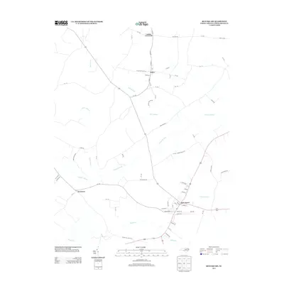
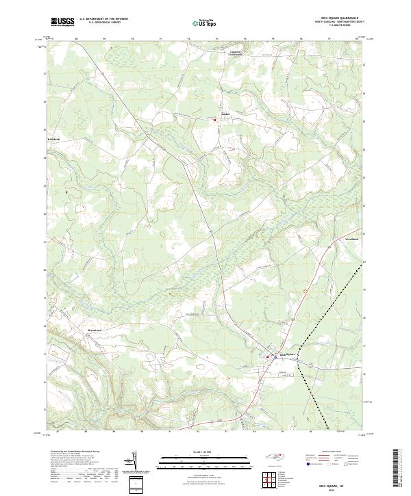 2022 Rich Square2022 Print · USGSNorthampton County at the start of the 2020s reveals a landscape where crossroads communities and small towns are inextricably tied to the surrounding wetlands. Researchers can trace local lineage through family-named routes and visit established centers like Rich Square, Lasker, and Woodland.
 - 2022 Map of Woodland, 2022 Print
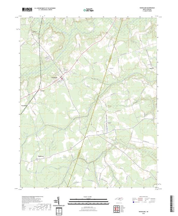 2022 Woodland2022 Print · USGSWoodland and the surrounding coastal plain of Northampton County are captured here in the early 2020s. Genealogists can trace family landmarks along Baughan Rd and Jim Hardy Rd, or locate ancestral sites near Potecasi and Eagletown.
End of results
Showing maps 1-15 of 15
Top cities near Woodland
- Ahoskie historical maps
- Murfreesboro historical maps
- Scotland Neck historical maps
- Rich Square historical maps
- Aulander historical maps
- Conway historical maps
See more
Frequently asked questions
- What are the different types of historical maps available for Woodland?
- What is the oldest map of Woodland?
- Where can I purchase historical maps of Woodland for my home or office?
- Where can I download high-res historical maps of Woodland?
- Are there historical topographic maps available for Woodland?
- Is there historical aerial imagery available for Woodland?
- Where are historical maps of Woodland sourced from?