Old Maps of Midway Park, Jacksonville
Explore 12 old maps of Midway Park, spanning from 1948 to today. These high-resolution historic maps reveal how streets, neighborhoods, landmarks, and natural features evolved over time — perfect for genealogy, metal detecting, research, and local history exploration.
What you can do with these maps:
- See how Midway Park changed over time: Compare historical maps to modern-day views to trace roads, homesites, rail lines & more.
- View detailed metadata: Each map includes creators, publishers, year, scale, and archive source.
- Overlay maps with satellite & LiDAR: Visualize the past alongside modern tools to explore terrain & human change.
- Trusted historical sources: Maps sourced from the USGS, Library of Congress, and other archives.
- Access maps your way: View online, download high-res files, or order prints for personal or research use.
Start exploring old maps of Midway Park to uncover forgotten places, hidden landmarks, and the deep history beneath your feet.
Midway Park, Jacksonville maps
(12)- 1948 Map of New River
 1948 New River1948 Print · USGSCoastal Onslow County underwent a massive transformation just after the war as the Marine Corps expanded its footprint along the New River. Researchers can trace early military infrastructure at the Peters Point Field Glider Base alongside civilian landmarks like Sneads Ferry and Mumfords Mill.2 unique versions available
 - 1952 Map of Camp Lejeune, 1954 Print
 1952 Camp Lejeune1954 Print · USGSCoastal Onslow County is seen here during the mid-century expansion of the Camp Lejeune Military Reservation. Local historians can trace established communities like Piney Green and Kelluntown alongside early base housing at Midway Park.4 unique versions available
 - 1953 Map of Beaufort, 1965 Print
 1953 Beaufort1965 Print · USGSThe North Carolina coastline in the mid-fifties reveals an era of massive military expansion alongside traditional maritime life. Genealogists can trace family names and small settlements from Sealevel to Sneads Ferry or locate landmarks like Fort Macon.3 unique versions available
 - 1954 Map of Beaufort
 1954 Beaufort1954 Print · USGSCoastal North Carolina in the mid-fifties reveals a landscape of strategic military installations, sprawling wetlands, and thriving rail towns. Genealogists and historians can trace the foundations of Wilmington, the rural reaches of Duplin County, and shoreline landmarks like Cape Lookout and Carolina Beach.
 - 1972 Map of Beaufort, 1975 Print
 1972 Beaufort1975 Print · USGSThe North Carolina coast in the early seventies shows a landscape defined by massive military bases and coastal sounds. Trace rural family roots at Sarecta and Catherine Lake or explore the barrier islands of the Cape Lookout National Seashore.
 - 1986 Map of New River
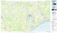 1986 New River1986 Print · USGSCoastal Onslow County in the mid-eighties shows a landscape shaped by military expansion and the preserved wetlands of the Carolina coast. Genealogists and historians can trace the foundations of Jacksonville and small outlying communities like Richlands and Swansboro.
 - 1991 Map of New River
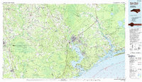 1991 New River1991 Print · USGSCoastal Onslow and Pender counties appear here in the early 1990s as the military and maritime economies matured. Researchers can trace the expansive Camp Lejeune grounds and find rural landings like Fulcher Landing and Sanders Landing.
 - 2010 Map of Camp Lejeune, 2010 Print
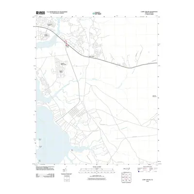 2010 Camp Lejeune2010 Print · USGSCamp Lejeune and Jacksonville were centers of significant coastal activity in the early twenty-first century. Researchers can trace the military housing and local roads around Midway Park, Piney Green, and the banks of the New River.
 - 2013 Map of Camp Lejeune, 2013 Print
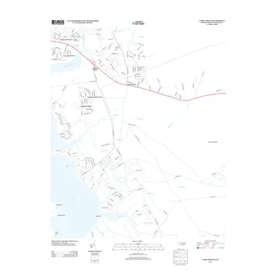 2013 Camp Lejeune2013 Print · USGSJacksonville and the coastal outskirts of Onslow County are shown here in the early 2010s, highlighting the expansive residential development near the water. Genealogists and historians can trace the street layouts of Midway Park, Watkins Village, and the marshy reaches of Farnell Bay.
 - 2016 Map of Camp Lejeune, 2016 Print
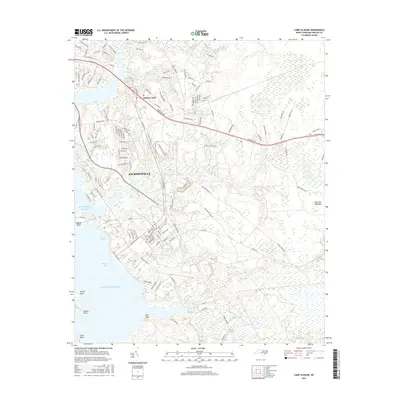 2016 Camp Lejeune2016 Print · USGSCoastal North Carolina comes into focus in the mid-2010s, showcasing the intersection of the maritime environment and the growth of Onslow County. Researchers can trace the developed streets of Jacksonville, the residential layout of Midway Park, and the wetlands surrounding Morgan Bay and Bearhead Cr.
 - 2019 Map of Camp Lejeune, 2019 Print
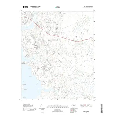 2019 Camp Lejeune2019 Print · USGSJacksonville and the coastal reaches of the New River are captured here during a period of modern military and suburban growth. Researchers can trace the developed neighborhoods of Midway Park and Piney Green or locate landmarks like Hadnot Point.
 - 2022 Map of Camp Lejeune, 2022 Print
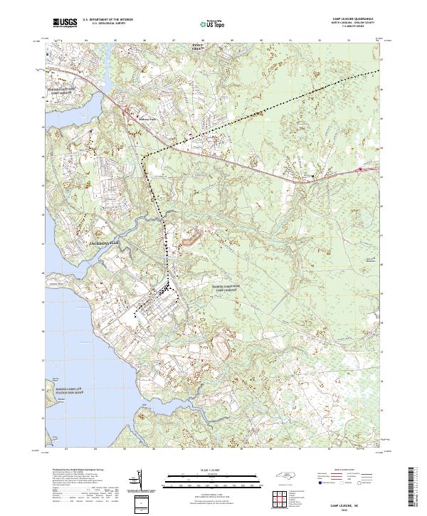 2022 Camp Lejeune2022 Print · USGSThe Onslow County coast during the early twenty-first century reveals a landscape defined by the growth of Jacksonville and Camp Lejeune. Trace family sites and coastal development near the Raymond Kellum Cem, Midway Park, and Piney Green.
End of results
Showing maps 1-12 of 12
Frequently asked questions
- What are the different types of historical maps available for Midway Park?
- What is the oldest map of Midway Park?
- Where can I purchase historical maps of Midway Park for my home or office?
- Where can I download high-res historical maps of Midway Park?
- Are there historical topographic maps available for Midway Park?
- Is there historical aerial imagery available for Midway Park?
- Where are historical maps of Midway Park sourced from?