Old Maps of Kennel Beach, North Carolina for Genealogy
Trace your family roots with 11 historic maps of Kennel Beach. These high-res maps reveal old neighborhoods, homesites, landmarks, and streets — helping you uncover where your ancestors lived and how the area evolved over time.
- Explore historic neighborhoods: Identify where your relatives may have lived in the 1800s or 1900s.
- Compare maps over time: Trace the changes in streets, buildings, and landmarks for multi-generational research.
- Perfect for genealogy & ancestry research: Used by family historians and researchers to map out lineage and migration.
These maps are an incredible resource for exploring your personal connection to Kennel Beach's past.
Kennel Beach, NC maps
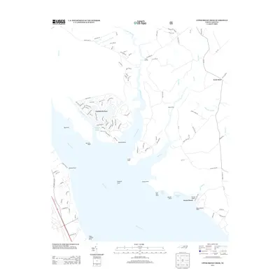
(11)- 1950 Map of Upper Broad Creek, 1984 Print
 1950 Upper Broad Creek1984 Print · USGSCoastal North Carolina comes alive in this survey of the riverbanks where Craven and Pamlico counties meet. Genealogists can trace family names through Cayton Cem and Lees Landing, or locate old commerce at Scotts Store.2 unique versions available
 - 1951 Map of Upper Broad Creek
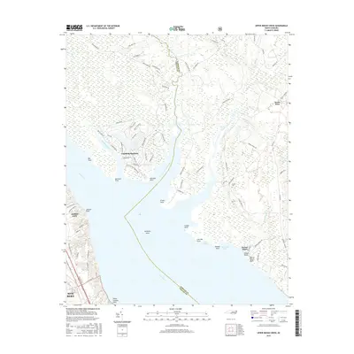
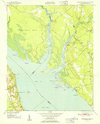 1951 Upper Broad Creek1951 Print · USGSThe Neuse River and its tidal creeks define the Craven and Pamlico county line in the early fifties. Genealogists can trace family names at Cayton Cem, Scotts Store, and Lees Landing along the marshy reaches of Goose Creek.2 unique versions available
 - 1953 Map of Rocky Mount, 1964 Print
 1953 Rocky Mount1964 Print · USGSEastern North Carolina in the mid-fifties is defined by its deep river basins and the vast wetlands of the Tidewater. Genealogists can trace family roots through hubs like Kinston and New Bern or explore the wilderness of Pettigrew State Park and Lake Mattamuskeet.4 unique versions available
 - 1954 Map of Rocky Mount
 1954 Rocky Mount1954 Print · USGSEastern North Carolina is mapped in the mid-fifties, showing a landscape of sounds, swamps, and steam-era rail lines. Genealogists can trace the rural road networks and rail spurs connecting towns like Tarboro, Greenville, and the remote Columbia.
 - 1985 Map of Bayboro, 1990 Print
 1985 Bayboro1990 Print · USGSCoastal Pamlico and Beaufort counties are shown in the mid-eighties as a maritime landscape of protected wetlands and river-mouth settlements. Researchers can trace the layout of waterfront towns like Oriental, Bayboro, and the historic village of Bath amidst the Pamlico Sound.
 - 1994 Map of Upper Broad Creek, 1997 Print
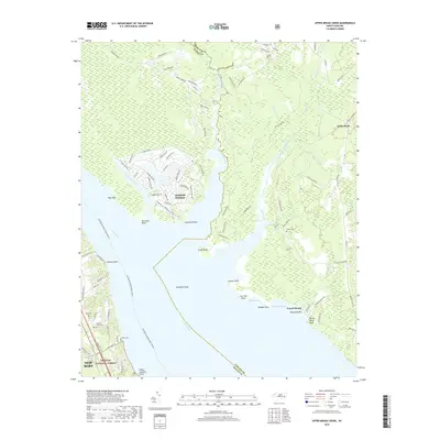
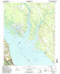 1994 Upper Broad Creek1997 Print · USGSThe Pamlico County riverfront in the mid-1990s shows a landscape of tidal creeks and evolving coastal settlements. Researchers can locate historic rural centers like Scotts Store and Amity Ch or trace the shoreline from McCotter Pt to Kendall Beach.
 - 2011 Map of Upper Broad Creek, 2011 Print
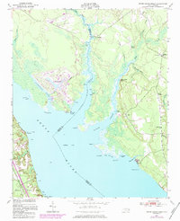
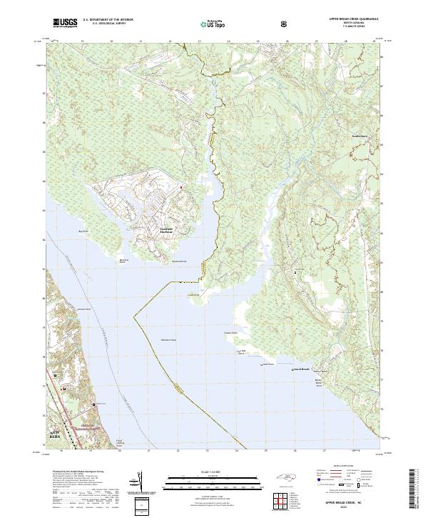
 2011 Upper Broad Creek2011 Print · USGSCovers Kennel Beach, including New Bern, Fairfield Harbour, and other nearby areas
 - 2013 Map of Upper Broad Creek, 2013 Print
 2013 Upper Broad Creek2013 Print · USGSCovers Kennel Beach, including New Bern, Fairfield Harbour, and other nearby areas
 - 2016 Map of Upper Broad Creek, 2016 Print
 2016 Upper Broad Creek2016 Print · USGSCovers Kennel Beach, including New Bern, Fairfield Harbour, and other nearby areas
 - 2019 Map of Upper Broad Creek, 2019 Print
 2019 Upper Broad Creek2019 Print · USGSCovers Kennel Beach, including New Bern, Fairfield Harbour, and other nearby areas
 - 2022 Map of Upper Broad Creek, 2022 Print
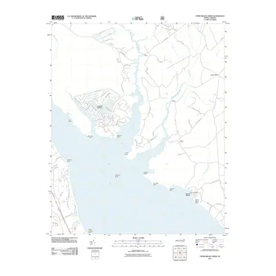
 2022 Upper Broad Creek2022 Print · USGSThe coastal marshes and planned waterways of Pamlico and Craven Counties are captured here in the early 2020s. Genealogists can locate family landmarks like the Conner Family Cem while boaters trace the shoreline from Fairfield Harbour to Kennel Beach.
End of results
Showing maps 1-11 of 11
Top cities near Kennel Beach
- New Bern historical maps
- Havelock historical maps
- James City historical maps
- Newport historical maps
- Trent Woods historical maps
- Brices Creek historical maps
See more
Frequently asked questions
- What are the different types of historical maps available for Kennel Beach?
- What is the oldest map of Kennel Beach?
- Where can I purchase historical maps of Kennel Beach for my home or office?
- Where can I download high-res historical maps of Kennel Beach?
- Are there historical topographic maps available for Kennel Beach?
- Is there historical aerial imagery available for Kennel Beach?
- Where are historical maps of Kennel Beach sourced from?