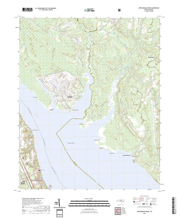
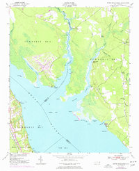
2022 Map of Upper Broad Creek
USGS Topo · Published 2022About this map
The tidal waters of Upper Broad Creek and the Neuse River define this eastern North Carolina landscape, where the marshy lowlands of the Croatan National Forest meet modern residential development. Along the jagged shoreline of Northwest Creek, the planned community of Fairfield Harbour features a dense network of streets like Barbary Coast Dr and Marina Dr surrounding interior lagoons. This contrast between natural wetlands and residential growth is a primary theme of the area, with the wide expanse of Hampton Shoal and numerous coastal points such as McCotter Point and Rowland Point shaping the maritime character.
Find a feature on this map
96 named features on this map. Tap any name to fly to it.
Don’t see what you’re looking for? This feature index may not catch every label — zoom into the map to look around manually.
Map Details
Editions of this 2022 Upper Broad Creek Map
This is the sole edition of this map. No revisions or reprints were ever made.
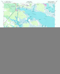
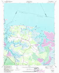
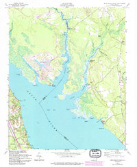
Historical Maps of Kennel Beach Through Time
15 maps found
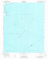
1950 Jones Bay
Pamlico County, NC
1950 Lowland
Pamlico County, NC
1950 Upper Broad Creek
Pamlico County, NC
1951 Little Fishing Point
Pamlico County, NC
1951 Upper Broad Creek
Pamlico County, NC
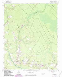
1969 Reelsboro
Pamlico County, NC
1994 Upper Broad Creek
Pamlico County, NC
2000 Little Fishing Point
Pamlico County, NC
2000 Lowland
Pamlico County, NC
2000 Reelsboro
Pamlico County, NC
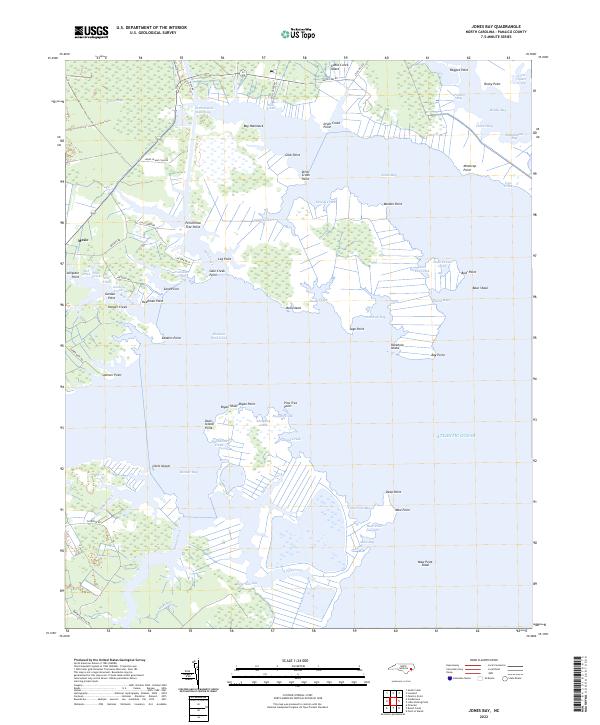
2022 Jones Bay
Pamlico County, NC
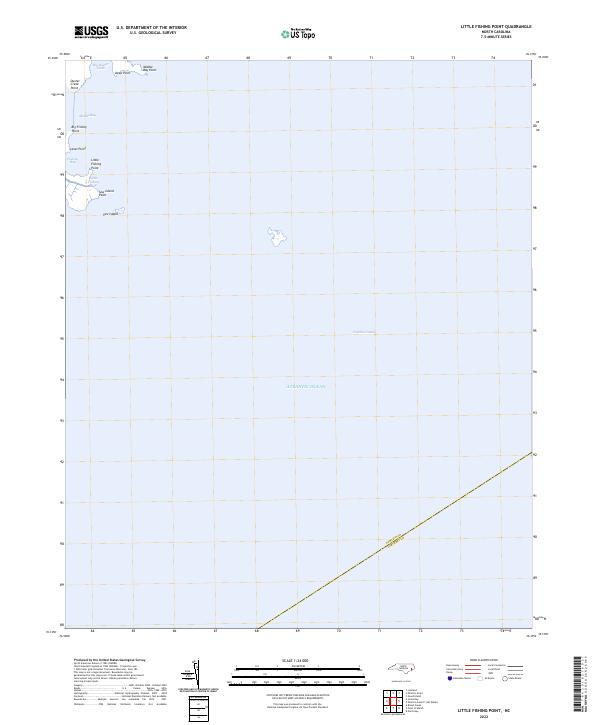
2022 Little Fishing Point
Pamlico County, NC
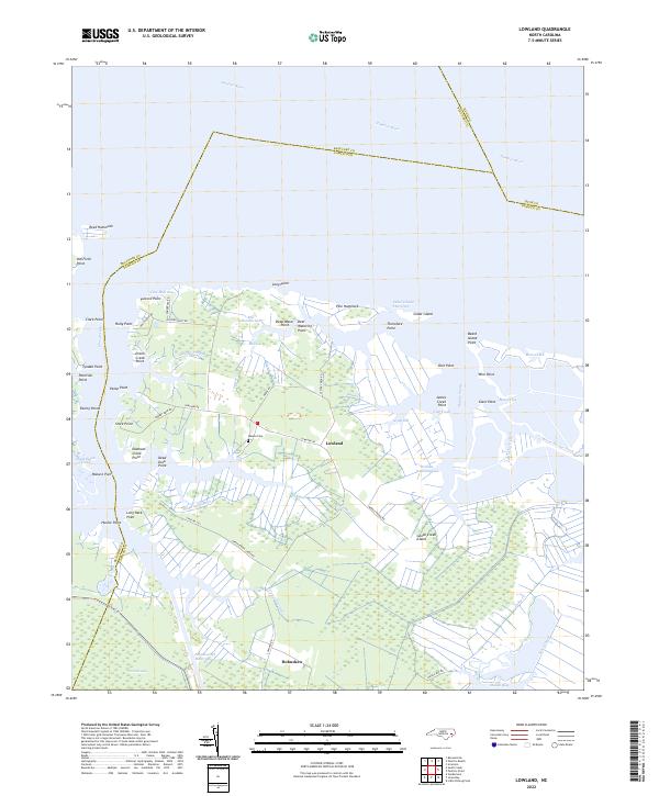
2022 Lowland
Pamlico County, NC
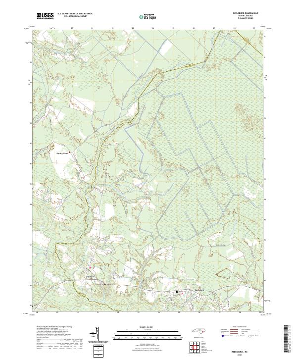
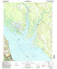
2022 Reelsboro
Pamlico County, NC
2022 Upper Broad Creek
Pamlico County, NC