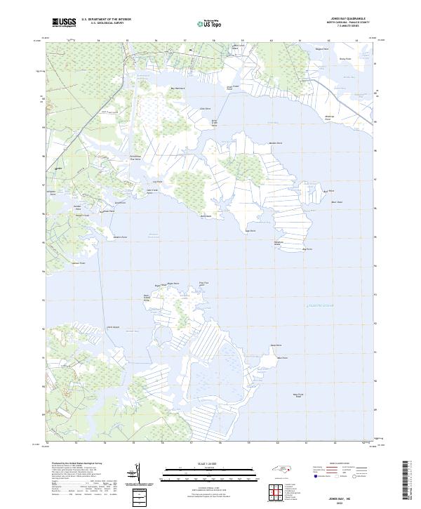
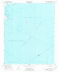
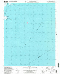
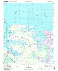
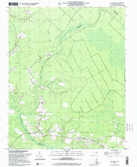
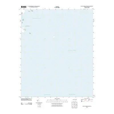
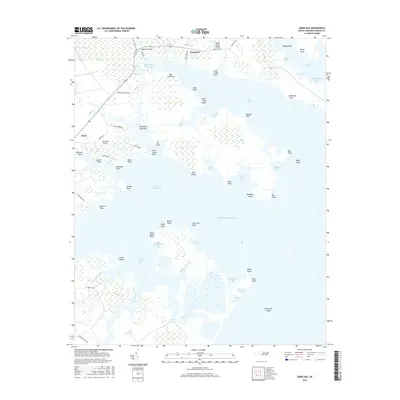
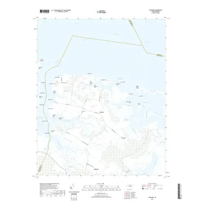
2022 Map of Jones Bay
USGS Topo · Published 2022About this map
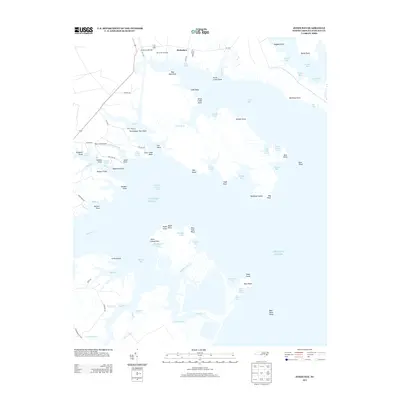
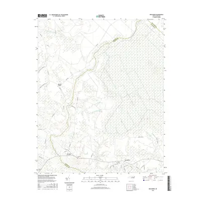
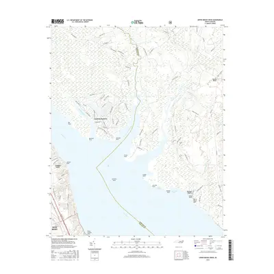
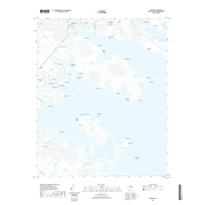
Mesic stands as the primary settlement in this water-defined landscape on the edge of the Atlantic Ocean. The geography is dominated by the expansive Jones Bay and the critical corridor of the Intracoastal Waterway, which cuts through the northern wetlands near Gum Swamp. This modern survey reveals a complex network of coastal features, from the family-named landmarks like Bryan Shoal to the curiously named Deadman Point and Minktrap Point.
Find a feature on this map
85 named features on this map. Tap any name to fly to it.
Don’t see what you’re looking for? This feature index may not catch every label — zoom into the map to look around manually.
Map Details
Editions of this 2022 Jones Bay Map
This is the sole edition of this map. No revisions or reprints were ever made.
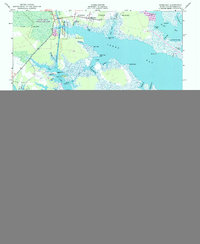
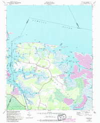
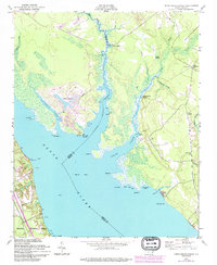
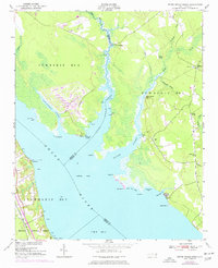
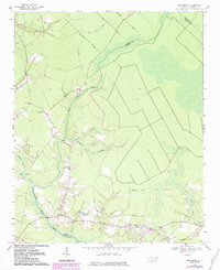
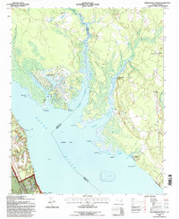
Historical Maps of Mesic Through Time
35 maps found
1950 Jones Bay
Pamlico County, NC
1950 Lowland
Pamlico County, NC
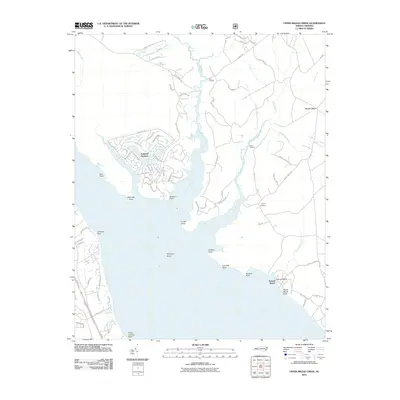
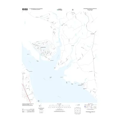
1950 Upper Broad Creek
Pamlico County, NC
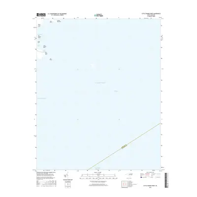
1951 Little Fishing Point
Pamlico County, NC
1951 Upper Broad Creek
Pamlico County, NC
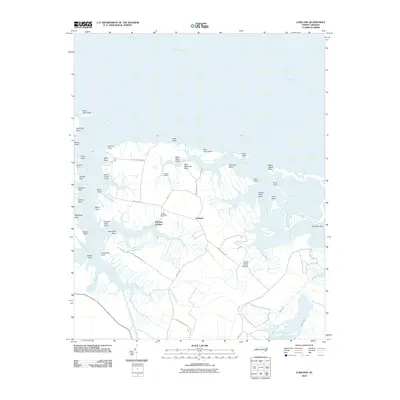
1969 Reelsboro
Pamlico County, NC
1994 Upper Broad Creek
Pamlico County, NC
2000 Little Fishing Point
Pamlico County, NC
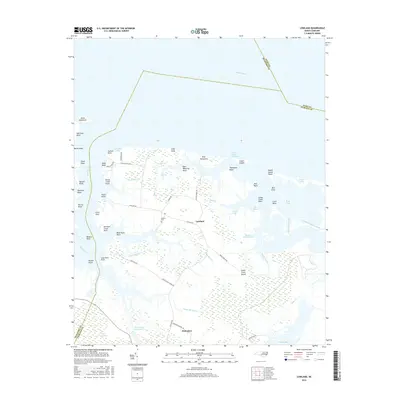
2000 Lowland
Pamlico County, NC
2000 Reelsboro
Pamlico County, NC
2010 Jones Bay
Pamlico County, NC
2010 Little Fishing Point
Pamlico County, NC
2010 Lowland
Pamlico County, NC
2010 Reelsboro
Pamlico County, NC
2011 Upper Broad Creek
Pamlico County, NC
2013 Jones Bay
Pamlico County, NC
2013 Little Fishing Point
Pamlico County, NC
2013 Lowland
Pamlico County, NC
2013 Reelsboro
Pamlico County, NC
2013 Upper Broad Creek
Pamlico County, NC
2016 Jones Bay
Pamlico County, NC
2016 Little Fishing Point
Pamlico County, NC
2016 Lowland
Pamlico County, NC
2016 Reelsboro
Pamlico County, NC
2016 Upper Broad Creek
Pamlico County, NC
2019 Jones Bay
Pamlico County, NC
2019 Little Fishing Point
Pamlico County, NC
2019 Lowland
Pamlico County, NC
2019 Reelsboro
Pamlico County, NC
2019 Upper Broad Creek
Pamlico County, NC
2022 Jones Bay
Pamlico County, NC
2022 Little Fishing Point
Pamlico County, NC
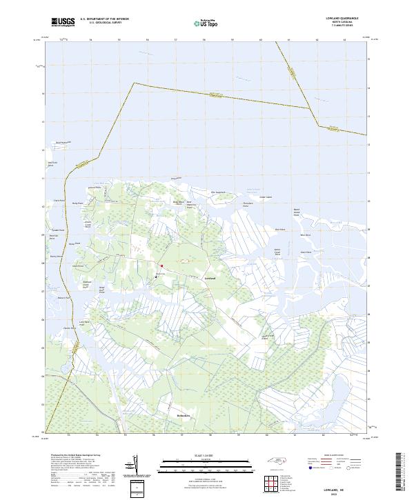
2022 Lowland
Pamlico County, NC
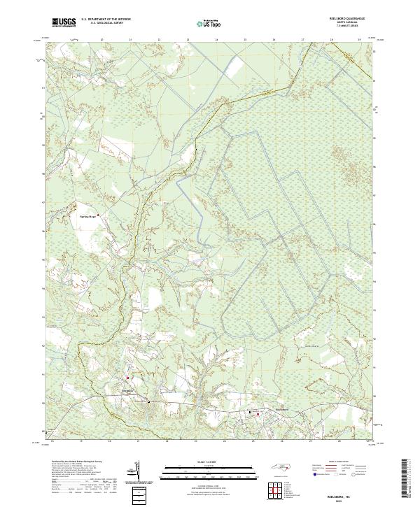
2022 Reelsboro
Pamlico County, NC
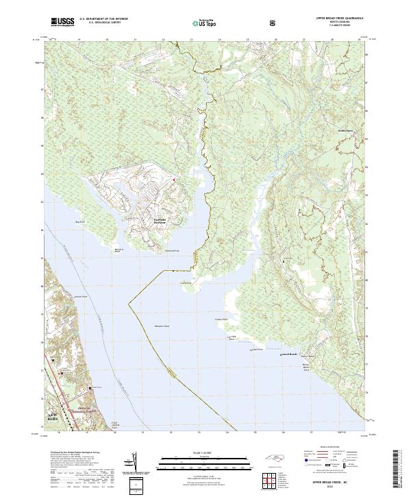
2022 Upper Broad Creek
Pamlico County, NC