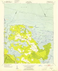
1950 Map of Lowland
USGS Topo · Published 1952About this map
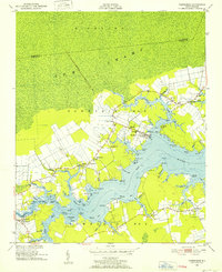
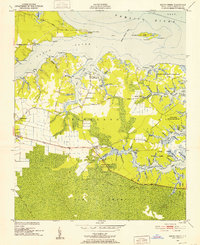
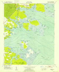
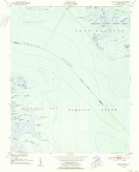
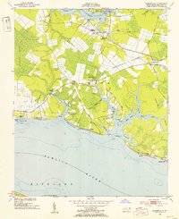
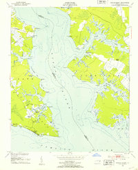
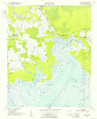
Goose Creek Island emerges from the surrounding sounds and rivers as a low-lying expanse of wetlands and small agricultural clearings at the midpoint of the twentieth century. The community of Lowland serves as the central hub of this remote peninsula, connected by a single road that threads past local landmarks like Antioch Ch, Warden Grove Ch, and the Watson Cem. The landscape is a complex network of marshes and water passages, including Gum Swamp and the engineered Mouse Harbor Ditch. Large portions of the territory are dedicated to the Goose Creek State Game Refuge, illustrating the area's transition toward managed conservation. Navigation is a primary theme of the geography here, with the Intracoastal Waterway cutting through the western edge of the map, providing a vital artery for vessels traveling the Pamlico River.
Find a feature on this map
85 named features on this map. Tap any name to fly to it.
Don’t see what you’re looking for? This feature index may not catch every label — zoom into the map to look around manually.
Map Details
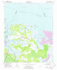
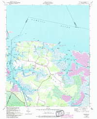
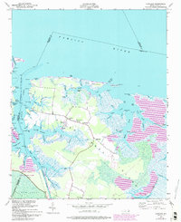
Editions of this 1950 Lowland Map
4 editions found
Other maps of this area
1950 · Vandemere
USGS Topo · 1:24,000
1950 · South Creek
USGS Topo · 1:24,000
1950 · Jones Bay
USGS Topo · 1:24,000
1951 · Brant Island
USGS Topo · 1:24,000
1951 · Pamlico Point
USGS Topo · 1:24,000
1951 · Ransomville
USGS Topo · 1:24,000
1951 · Pamlico Beach
USGS Topo · 1:24,000
1951 · Scranton
USGS Topo · 1:24,000

1953 · Rocky Mount
USGS Topo · 1:250,000

1954 · Rocky Mount
USGS Topo · 1:250,000