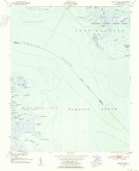
1950 Map of Lowland
USGS Topo · Published 1993About this map
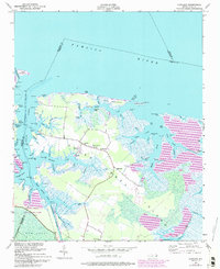
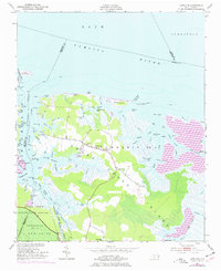
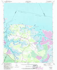
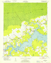
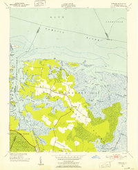
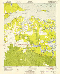
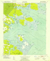
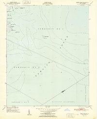
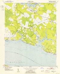
Goose Creek Island is the centerpiece of this coastal survey, defined by its intricate network of marshes and winding waterways where the Pamlico River meets the sound. Centered around the small settlement of Lowland, the landscape is a low-lying expanse of wetlands and small agricultural clearings. Local life at mid-century was oriented toward the water, evidenced by the presence of Caraway Landing and the descriptive Mail Boat Landing. The interior of the island contains a cluster of community landmarks, including Antioch Ch, Shiloh Ch, and cemeteries like Watson Cem and Warden Grove Cem.
Find a feature on this map
79 named features on this map. Tap any name to fly to it.
Don’t see what you’re looking for? This feature index may not catch every label — zoom into the map to look around manually.
Map Details
Editions of this 1950 Lowland Map
4 editions found
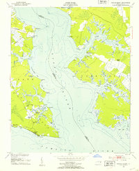
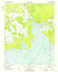
Other maps of this area
1950 · Vandemere
USGS Topo · 1:24,000
1950 · Lowland
USGS Topo · 1:24,000
1950 · South Creek
USGS Topo · 1:24,000
1950 · Jones Bay
USGS Topo · 1:24,000
1951 · Brant Island
USGS Topo · 1:24,000
1951 · Pamlico Point
USGS Topo · 1:24,000
1951 · Ransomville
USGS Topo · 1:24,000
1951 · Pamlico Beach
USGS Topo · 1:24,000
1951 · Scranton
USGS Topo · 1:24,000

1953 · Rocky Mount
USGS Topo · 1:250,000