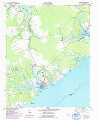
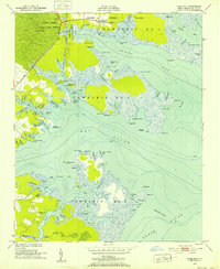
1948 Map of Oriental
USGS Topo · Published 1992About this map
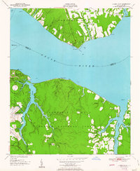
Oriental and its waterfront along the Neuse River dominate this coastal survey, where the intricate network of tidal creeks and marshes meets the broad waters of the sound. Small inland settlements such as Merritt, Stonewall, and Ashwood are connected by local roads, while the landscape is punctuated by rural landmarks like Pilgrim Chapel and Pierces Chapel. The map reveals the maritime character of the region through features like Windmill Point and Whortonsville, alongside numerous points and guts that define the jagged shoreline. The prominence of Blackwell Pt Cr and Smith Creek highlights the navigational challenges and fishing culture that have long defined this part of Pamlico County. This mid-century view captures the transition from a primarily rural agrarian economy to one centered on the water, as seen in the clustered development around Oriental's docks and the nearby Whittaker Point.
Find a feature on this map
67 named features on this map. Tap any name to fly to it.
Don’t see what you’re looking for? This feature index may not catch every label — zoom into the map to look around manually.
Map Details
Editions of this 1948 Oriental Map
This is the sole edition of this map. No revisions or reprints were ever made.
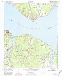
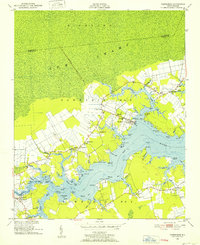
Other maps of this area
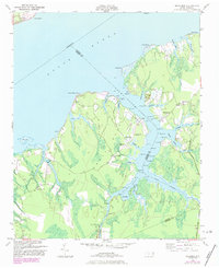
1949 · Merrimon
USGS Topo · 1:24,000

1949 · South River
USGS Topo · 1:24,000
1949 · Cherry Point
USGS Topo · 1:24,000

1950 · South River
USGS Topo · 1:24,000
1950 · Vandemere
USGS Topo · 1:24,000
1950 · Jones Bay
USGS Topo · 1:24,000
1950 · Arapahoe
USGS Topo · 1:24,000
1951 · Arapahoe
USGS Topo · 1:24,000
1951 · Merrimon
USGS Topo · 1:24,000
1951 · Cherry Point
USGS Topo · 1:24,000