
1951 Map of Arapahoe
USGS Topo · Published 1951About this map
The Light Ground Pocosin dominates the northeastern reaches of this Pamlico County survey, a distinctive evergreen shrub bog characteristic of the coastal plain. Scattered settlements such as Arapahoe and Cash Corner No 2 are concentrated along the primary corridors like Neuse Road, while the southern edge is defined by the expansive Neuse River. The landscape is intricately carved by numerous guts and creeks, including Dawson Creek and Beard Creek.
Find a feature on this map
29 named features on this map. Tap any name to fly to it.
Don’t see what you’re looking for? This feature index may not catch every label — zoom into the map to look around manually.
Map Details
Editions of this 1951 Arapahoe Map
This is the sole edition of this map. No revisions or reprints were ever made.
Other maps of this area

1948 · Oriental
USGS Topo · 1:24,000

1949 · Havelock
USGS Topo · 1:24,000

1949 · Merrimon
USGS Topo · 1:24,000

1949 · Cherry Point
USGS Topo · 1:24,000

1950 · Vandemere
USGS Topo · 1:24,000

1950 · Upper Broad Creek
USGS Topo · 1:24,000

1950 · Arapahoe
USGS Topo · 1:24,000
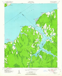
1951 · Merrimon
USGS Topo · 1:24,000
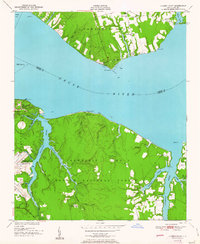
1951 · Cherry Point
USGS Topo · 1:24,000

1951 · Upper Broad Creek
USGS Topo · 1:24,000