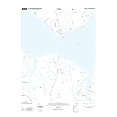
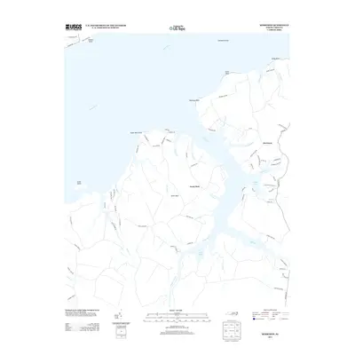
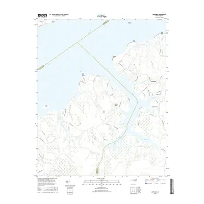
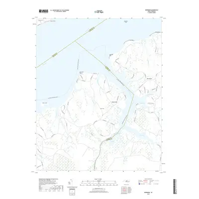
1949 Map of Merrimon
USGS Topo · Published 1983About this map
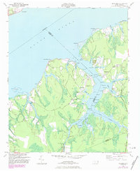
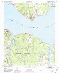
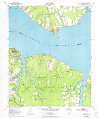
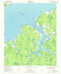
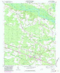
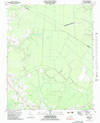
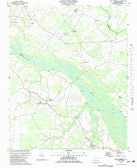
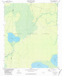
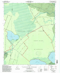
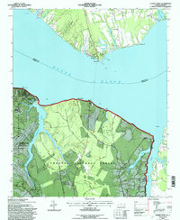
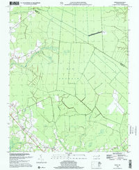
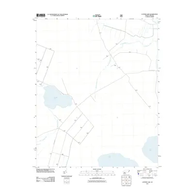
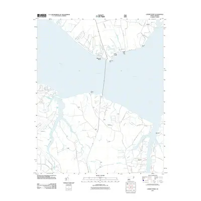
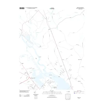
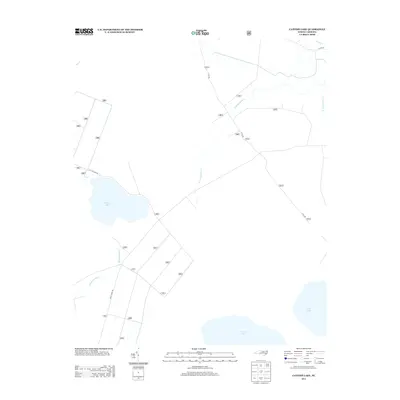
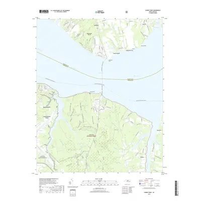
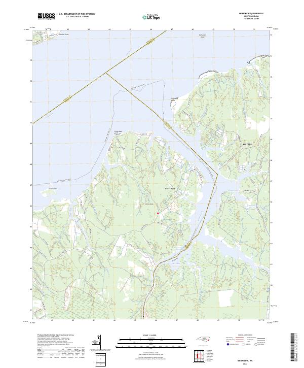
Merrimon and its surrounding wetlands occupy a peninsula defined by the Neuse River and the complex channels of the Adams Creek system. The landscape is a mosaic of tidal marshes and low-lying woods, where small communities like Great Neck are interconnected by a network of water-level roads and narrow canals. Local life at mid-century centered on rural landmarks such as Reels Chapel, Merrimon Ch, and the Adams Creek Sch, reflecting a dispersed but established coastal society. Significant maritime engineering is evident in the Adams Canal and the designated Intracoastal Waterway route, which bypasses the natural meanders of Back Creek. Family-named navigation markers like Jameson and Delmar pepper the creeks, highlighting the importance of small-craft navigation. Further south, Oak Grove Ch stands near the headwaters of Great Neck Cr, while the Turnpike Road provides one of the few land-based arteries through the marshy terrain of the Carteret and Craven county line.
Find a feature on this map
58 named features on this map. Tap any name to fly to it.
Don’t see what you’re looking for? This feature index may not catch every label — zoom into the map to look around manually.
Map Details
Editions of this 1949 Merrimon Map
This is the sole edition of this map. No revisions or reprints were ever made.
Historical Maps of Great Neck Through Time
47 maps found
1949 Cherry Point
Craven County, NC
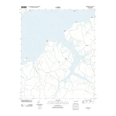
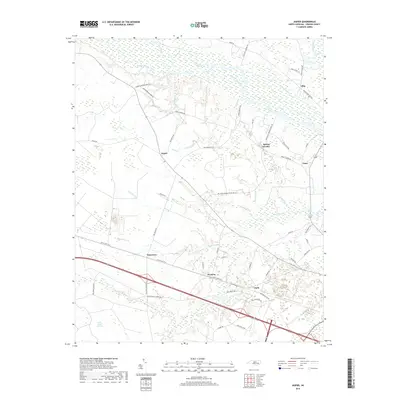
1949 Merrimon
Craven County, NC
1951 Cherry Point
Craven County, NC
1951 Merrimon
Craven County, NC

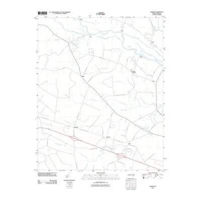
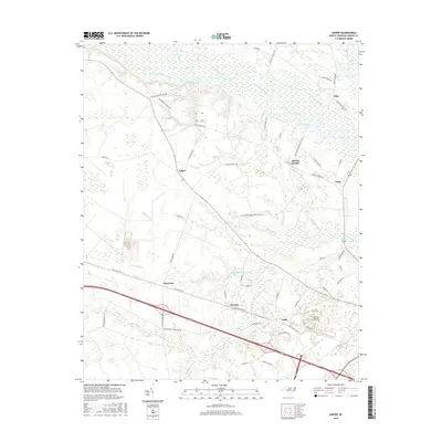
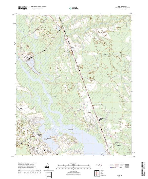
1978 Askin
Craven County, NC
1978 Jasper
Craven County, NC
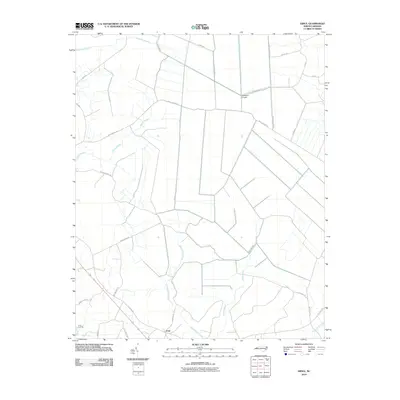
1983 Ernul
Craven County, NC
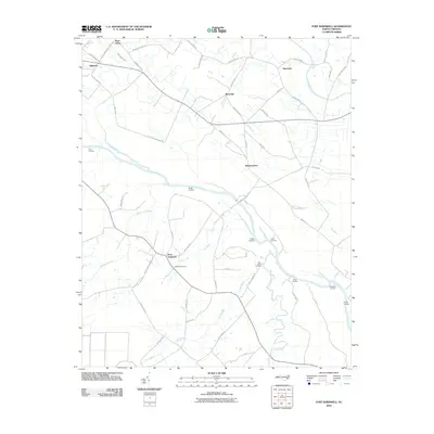
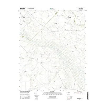
1983 Fort Barnwell
Craven County, NC
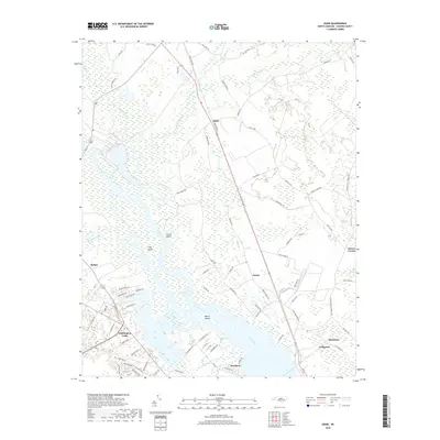
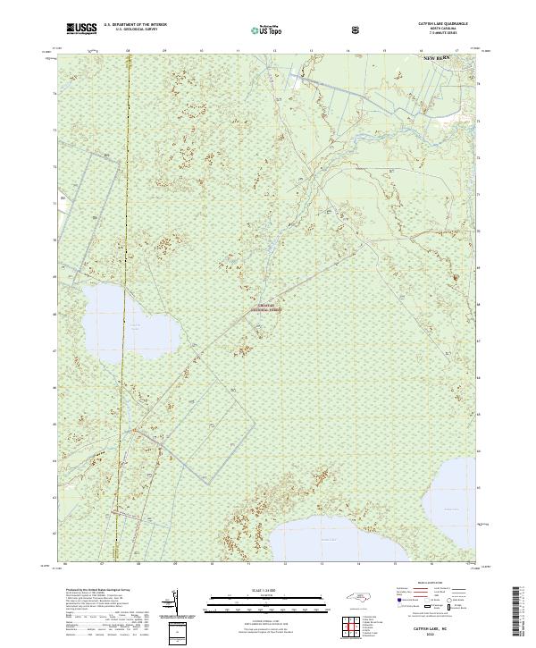
1984 Catfish Lake
Craven County, NC
1994 Catfish Lake
Craven County, NC
1994 Cherry Point
Craven County, NC
1998 Ernul
Craven County, NC
2010 Askin
Craven County, NC
2010 Ernul
Craven County, NC
2010 Fort Barnwell
Craven County, NC
2010 Jasper
Craven County, NC
2010 Merrimon
Craven County, NC
2011 Catfish Lake
Craven County, NC
2011 Cherry Point
Craven County, NC
2013 Askin
Craven County, NC
2013 Catfish Lake
Craven County, NC
2013 Cherry Point
Craven County, NC
2013 Ernul
Craven County, NC
2013 Fort Barnwell
Craven County, NC
2013 Jasper
Craven County, NC
2013 Merrimon
Craven County, NC
2016 Askin
Craven County, NC
2016 Catfish Lake
Craven County, NC
2016 Cherry Point
Craven County, NC

2016 Ernul
Craven County, NC
2016 Fort Barnwell
Craven County, NC
2016 Jasper
Craven County, NC
2016 Merrimon
Craven County, NC
2019 Askin
Craven County, NC
2019 Catfish Lake
Craven County, NC
2019 Cherry Point
Craven County, NC
2019 Ernul
Craven County, NC
2019 Fort Barnwell
Craven County, NC
2019 Jasper
Craven County, NC
2019 Merrimon
Craven County, NC
2022 Askin
Craven County, NC
2022 Catfish Lake
Craven County, NC
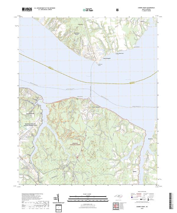
2022 Cherry Point
Craven County, NC
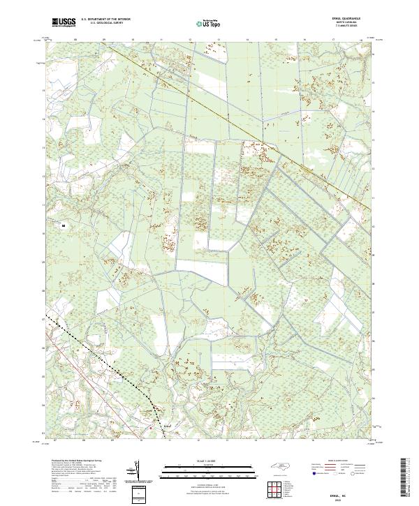
2022 Ernul
Craven County, NC
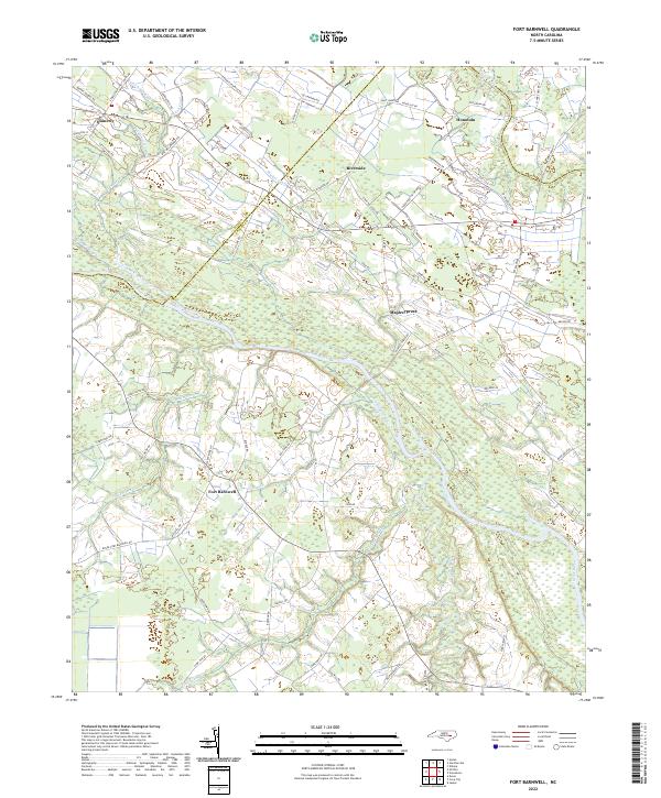
2022 Fort Barnwell
Craven County, NC
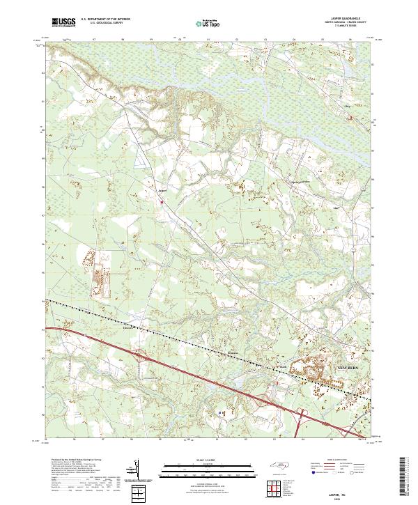
2022 Jasper
Craven County, NC
2022 Merrimon
Craven County, NC