
1949 Map of Havelock
USGS Topo · Published 1952About this map
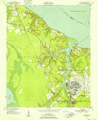
Croatan National Forest dominates this coastal landscape, where the expanse of the Neuse River meets a dense network of tidal creeks and swamplands. In the years following World War II, the U S Marine Corps Air Station Cherry Point stands as a massive industrial and military anchor on the eastern edge of the quadrangle, its runways and complex facility layout sharply contrasting with the surrounding woodlands. The Atlantic and East Carolina railroad serves as the primary corridor for commerce and travel, connecting small settlements like Riverdale, Croatan, and Havelock.
Find a feature on this map
44 named features on this map. Tap any name to fly to it.
Don’t see what you’re looking for? This feature index may not catch every label — zoom into the map to look around manually.
Map Details
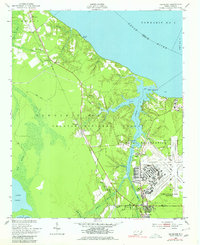
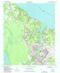
Editions of this 1949 Havelock Map
4 editions found
Other maps of this area

1901 · New Bern
USGS Topo · 1:62,500

1903 · New Bern
USGS Topo · 1:62,500

1942 · Maysville
USGS Topo · 1:62,500

1948 · Maysville
USGS Topo · 1:62,500

1949 · Newport
USGS Topo · 1:24,000

1949 · Cherry Point
USGS Topo · 1:24,000

1949 · Masontown
USGS Topo · 1:24,000

1950 · New Bern
USGS Topo · 1:24,000

1950 · Upper Broad Creek
USGS Topo · 1:24,000

1950 · Arapahoe
USGS Topo · 1:24,000