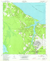
1949 Map of Havelock
USGS Topo · Published 1980About this map
U S Marine Corps Air Station Cherry Point dominates the landscape of eastern Craven County just after the war, showing the intensive infrastructure of the base alongside the U S Naval Reservation. The region is defined by the sweeping southern bank of the Neuse River, where tidal creeks like Slocum Creek and Tucker Creek carve into the low-lying terrain. The Atlantic and East Carolina railroad provides a vital transportation spine, connecting the small settlements of Riverdale, Croatan, and Pine Grove with the growing hub at Havelock. Much of the area remains protected within the Croatan National Forest, punctuated by markers of human activity such as the Croatan Lookout Tower and old routes like the Tram Road. This survey documents a pivotal moment as military expansion and the railroad transformed rural coastal North Carolina.
Find a feature on this map
40 named features on this map. Tap any name to fly to it.
Don’t see what you’re looking for? This feature index may not catch every label — zoom into the map to look around manually.
Map Details
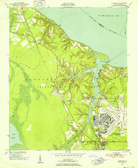
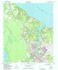
Editions of this 1949 Havelock Map
4 editions found
Other maps of this area

1901 · New Bern
USGS Topo · 1:62,500

1903 · New Bern
USGS Topo · 1:62,500

1942 · Maysville
USGS Topo · 1:62,500

1948 · Maysville
USGS Topo · 1:62,500

1949 · Havelock
USGS Topo · 1:24,000

1949 · Newport
USGS Topo · 1:24,000

1949 · Cherry Point
USGS Topo · 1:24,000

1949 · Masontown
USGS Topo · 1:24,000

1950 · New Bern
USGS Topo · 1:24,000

1950 · Upper Broad Creek
USGS Topo · 1:24,000