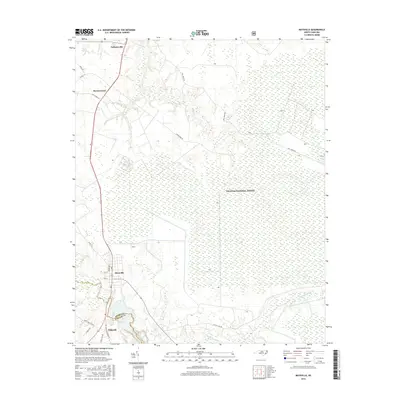
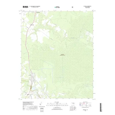
1948 Map of Maysville
USGS Topo · Published 1948About this map
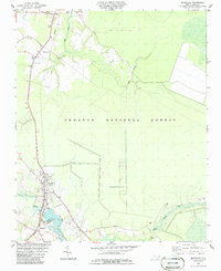
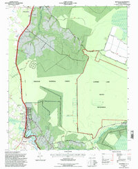
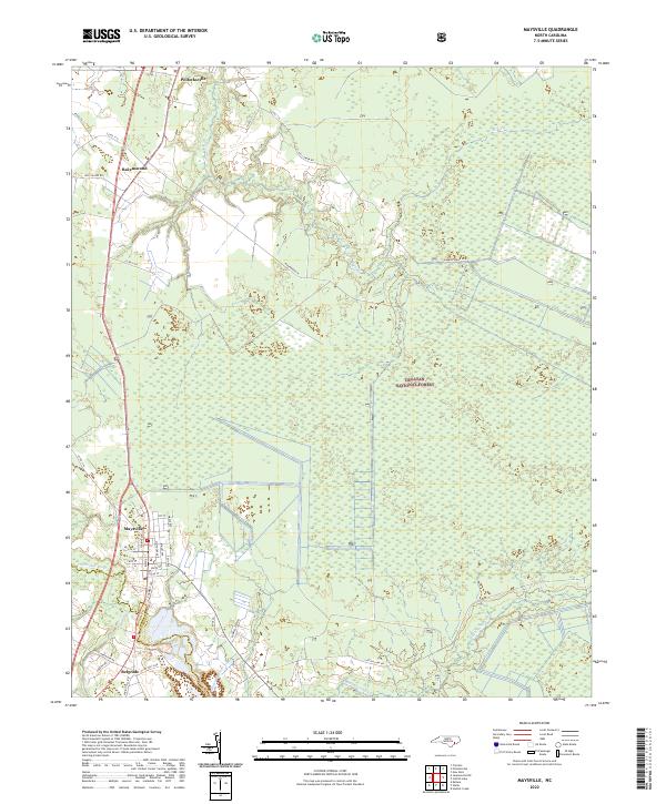
The White Oak River snakes through the heart of this coastal Carolina landscape, serving as a natural boundary between Jones, Onslow, and Carteret counties. In the post-war era, the town of Maysville stands as a central hub, situated along the Atlantic Coast Line Railroad and the edge of the Croatan National Forest. This survey captures a transitional wilderness where extensive wetlands like Black Swamp and several large elliptical bodies of water, including Catfish Lake and Great Lake, dominate the eastern terrain. To the south, the winding river reaches toward Stella and Silverdale, where the forest gives way to more frequent clearings and rural settlements. Strategic monitoring of this timber-rich region is evident by the presence of the Black Swamp Fire Tower and the Pelletier Fire Tower, standing watch over the dense pine and cypress stands.
Find a feature on this map
48 named features on this map. Tap any name to fly to it.
Don’t see what you’re looking for? This feature index may not catch every label — zoom into the map to look around manually.
Map Details
Editions of this 1948 Maysville Map
This is the sole edition of this map. No revisions or reprints were ever made.
Historical Maps of New Bern Through Time
9 maps found