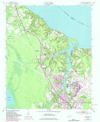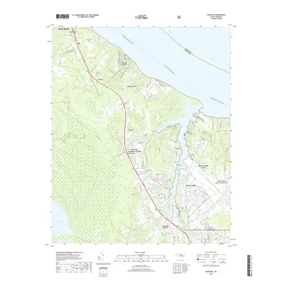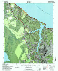
1994 Map of Havelock
USGS Topo · Published 1997About this map
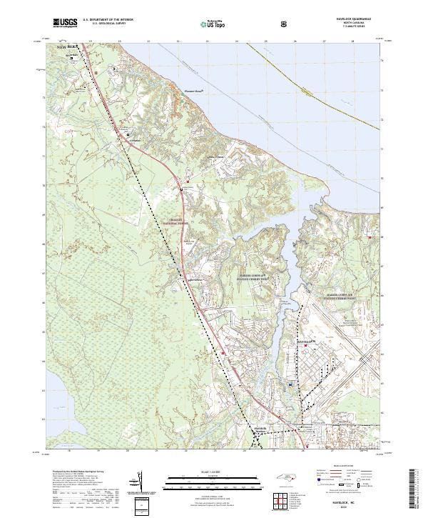
U.S. Marine Corps Air Station Cherry Point dominates the southeastern quadrant of this coastal landscape, showing the complex interface between mid-century military infrastructure and the surrounding Croatan National Forest. The Atlantic and East Carolina railroad corridor serves as a primary transit spine, passing through the settlements of Riverdale, Croatan, and Havelock. Historical community centers are represented by landmarks such as the Brice Creek Ch, while the Havelock Sta marks the town's importance as a rail hub.
Find a feature on this map
29 named features on this map. Tap any name to fly to it.
Don’t see what you’re looking for? This feature index may not catch every label — zoom into the map to look around manually.
Map Details
Editions of this 1994 Havelock Map
This is the sole edition of this map. No revisions or reprints were ever made.
Historical Maps of New Bern Through Time
7 maps found