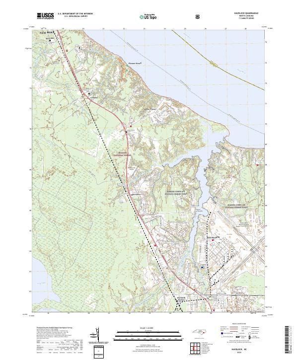
2022 Map of Havelock
USGS Topo · Published 2022About this map
Marine Corps Air Station Cherry Point dominates the landscape where Tucker Creek meets the wide Neuse River, defining the character of this coastal North Carolina region. The installation's massive scale at Cunningham Field is balanced by the surrounding wildlands of the Croatan National Forest, which covers significant acreage to the west and south. This coexistence of military infrastructure and protected forest shapes the growth of Havelock, where the residential street grid clusters near Havelock Station and Us HWY 70 E.
Find a feature on this map
37 named features on this map. Tap any name to fly to it.
Don’t see what you’re looking for? This feature index may not catch every label — zoom into the map to look around manually.
Map Details
Editions of this 2022 Havelock Map
This is the sole edition of this map. No revisions or reprints were ever made.
Other maps of this area

1901 · New Bern
USGS Topo · 1:62,500

1903 · New Bern
USGS Topo · 1:62,500

1942 · Maysville
USGS Topo · 1:62,500

1948 · Maysville
USGS Topo · 1:62,500

1949 · Havelock
USGS Topo · 1:24,000

1949 · Newport
USGS Topo · 1:24,000

1949 · Cherry Point
USGS Topo · 1:24,000

1949 · Masontown
USGS Topo · 1:24,000

1950 · New Bern
USGS Topo · 1:24,000

1950 · Upper Broad Creek
USGS Topo · 1:24,000