Old Maps of Queenswood, Pasquotank County for Academic Research
Study the evolution of Queenswood with 18 high-resolution historic maps. Whether you're teaching, researching, or modeling changes in land use, these maps provide essential visual documentation of urban, environmental, and geographic change.
- Analyze long-term change: Track patterns in development, transportation, and natural features.
- Ideal for environmental or urban studies: Support academic projects with primary historical map data.
- Use in the classroom or lab: Educators and researchers rely on these maps to bring historical context to life.
These maps are a powerful tool for teaching, research, and visualizing how Queenswood has changed over the decades.
Queenswood, Pasquotank County maps
(18)- 1906 Map of Hertford
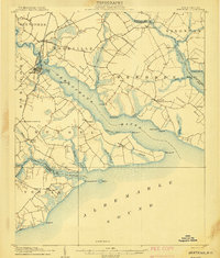 1906 Hertford1906 Print · USGSThe coastal plains of North Carolina near the Albemarle Sound are captured here during a period of river-reliant commerce and early rail growth. Researchers can trace the waterfront legacy of Hertford, the routes of the Norfolk and Southern RR, and rural post offices like Durants Neck PO.3 unique versions available
 - 1940 Map of Hertford
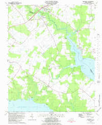
 1940 Hertford1940 Print · USGSThe coastal necks of Perquimans County are caught here in the early 1940s, showing a landscape defined by its deep relationship with the Albemarle Sound. Researchers can trace the waterfront history of Hertford or locate rural sites like the Durants Neck P O and Pleasant Grove Church.2 unique versions available
 - 1940 Map of South Mills, 1976 Print
 1940 South Mills1976 Print · USGSCamden and Pasquotank counties are shown in the early 1940s as communities navigated the edges of the Dismal Swamp. Genealogists can locate family-named hubs like Pierceville and Johnsons Corner or trace the Norfolk Southern Railroad line.
 - 1952 Map of South Mills
 1952 South Mills1952 Print · USGSCoastal North Carolina at mid-century reveals a complex network of timber mills and canal-side hamlets bordering the great wetlands. Trace ancestral roots and early industry through family landmarks like Lynchs Corner, the Dismal Swamp Canal, and Burnt Mills.
 - 1953 Map of Norfolk, 1954 Print
 1953 Norfolk1954 Print · USGSCoastal Virginia and northeastern North Carolina appear here during the post-war industrial boom, showing the critical rail-and-sea connections of Hampton Roads. Genealogists can trace family roots through rural landmarks like Gethsemane Ch, the Caledonia State Prison Farm, and the vast interior of the Dismal Swamp.4 unique versions available
 - 1982 Map of Nixonton
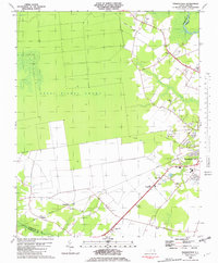
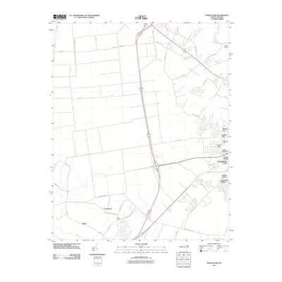
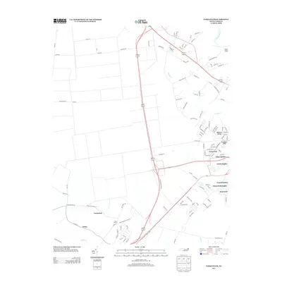
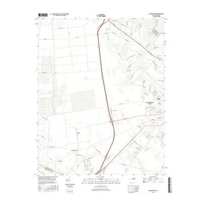
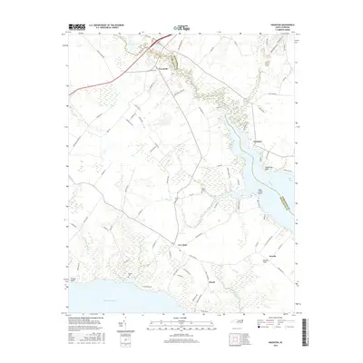
 1982 Nixonton1982 Print · USGSEastern North Carolina's tidewater landscape appears in the early 1980s as a patchwork of riverfront landings and rural crossroads. Genealogists can trace family names through sites like Wilson Cem, Godfrey Cem, and the riverfront settlement at Nixonton.
 - 1982 Map of Pasquotank
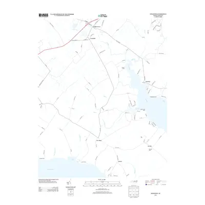
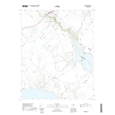
 1982 Pasquotank1982 Print · USGSIn the early 1980s, the edge of the Great Dismal Swamp met the expanding infrastructure of Elizabeth City and the Pasquotank River. Researchers can trace the layout of community landmarks like Albemarle Academy, Samuel Chapel, and the industrial corridors of the NORFOLK SOUTHERN railroad.
 - 1985 Map of Elizabeth City
 1985 Elizabeth City1985 Print · USGSCoastal North Carolina's rivers and sounds define the landscape of the mid-eighties, from the vast swamps to the historical waterfronts of Elizabeth City and Edenton. Researchers can trace the rail lines of the Southern Ry or locate landmarks like Beaver Hill Cem and South Mills.2 unique versions available
 - 2010 Map of Nixonton, 2010 Print
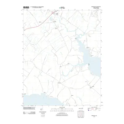 2010 Nixonton2010 Print · USGSCovers Queenswood, including Jacocks, Durant's Neck, and other nearby areas
 - 2010 Map of Pasquotank, 2010 Print
 2010 Pasquotank2010 Print · USGSCovers Queenswood, including Elizabeth City, Okisko, and other nearby areas
 - 2013 Map of Pasquotank, 2013 Print
 2013 Pasquotank2013 Print · USGSCovers Queenswood, including Elizabeth City, Okisko, and other nearby areas
 - 2013 Map of Nixonton, 2013 Print
 2013 Nixonton2013 Print · USGSCovers Queenswood, including Jacocks, Durant's Neck, and other nearby areas
 - 2016 Map of Pasquotank, 2016 Print
 2016 Pasquotank2016 Print · USGSCovers Queenswood, including Elizabeth City, Okisko, and other nearby areas
 - 2016 Map of Nixonton, 2016 Print
 2016 Nixonton2016 Print · USGSCovers Queenswood, including Jacocks, Durant's Neck, and other nearby areas
 - 2019 Map of Pasquotank, 2019 Print
 2019 Pasquotank2019 Print · USGSCovers Queenswood, including Elizabeth City, Okisko, and other nearby areas
 - 2019 Map of Nixonton, 2019 Print
 2019 Nixonton2019 Print · USGSCovers Queenswood, including Jacocks, Durant's Neck, and other nearby areas
 - 2022 Map of Pasquotank, 2022 Print
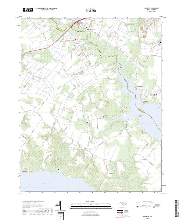
 2022 Pasquotank2022 Print · USGSCoastal North Carolina comes to life in the early 2020s as the suburbs of Elizabeth City meet the wild Great Dismal Swamp. Genealogists can locate several family burial grounds, including the Pritchard Family Cem, and trace the industrial legacy of the Lumber Mill.
 - 2022 Map of Nixonton, 2022 Print
 2022 Nixonton2022 Print · USGSThe borderlands of Pasquotank and Perquimans counties are captured here in the early 2020s, centered on the historic water routes of the Little River. Researchers can locate several family burial grounds and community landmarks, including the Nixonton Cem and Whiteville Grove AME Zion Cem.
End of results
Showing maps 1-18 of 18
Frequently asked questions
- What are the different types of historical maps available for Queenswood?
- What is the oldest map of Queenswood?
- Where can I purchase historical maps of Queenswood for my home or office?
- Where can I download high-res historical maps of Queenswood?
- Are there historical topographic maps available for Queenswood?
- Is there historical aerial imagery available for Queenswood?
- Where are historical maps of Queenswood sourced from?