Old Maps of Kings Landing, North Carolina
Explore 15 old maps of Kings Landing, spanning from 1942 to today. These high-resolution historic maps reveal how streets, neighborhoods, landmarks, and natural features evolved over time — perfect for genealogy, metal detecting, research, and local history exploration.
What you can do with these maps:
- See how Kings Landing changed over time: Compare historical maps to modern-day views to trace roads, homesites, rail lines & more.
- View detailed metadata: Each map includes creators, publishers, year, scale, and archive source.
- Overlay maps with satellite & LiDAR: Visualize the past alongside modern tools to explore terrain & human change.
- Trusted historical sources: Maps sourced from the USGS, Library of Congress, and other archives.
- Access maps your way: View online, download high-res files, or order prints for personal or research use.
Start exploring old maps of Kings Landing to uncover forgotten places, hidden landmarks, and the deep history beneath your feet.
Kings Landing, NC maps
(15)- 1942 Map of Topsail
 1942 Topsail1942 Print · USGSThe Pender County coast was undergoing a military transformation in the early 1940s as infrastructure expanded around Camp Davis. Genealogists and historians can trace dozens of family-named water access points like Howard Landing and Edens Landing along the edge of Topsail Sound.
 - 1948 Map of Topsail
 1948 Topsail1948 Print · USGSThe Pender County coastline is shown here in the late 1940s, when the maritime economy was centered on small inlets and landings. Researchers can trace the military history of Camp Davis or locate family sites at Edens Landing and Hampstead.2 unique versions available
 - 1953 Map of Beaufort, 1965 Print
 1953 Beaufort1965 Print · USGSThe North Carolina coastline in the mid-fifties reveals an era of massive military expansion alongside traditional maritime life. Genealogists can trace family names and small settlements from Sealevel to Sneads Ferry or locate landmarks like Fort Macon.3 unique versions available
 - 1954 Map of Beaufort
 1954 Beaufort1954 Print · USGSCoastal North Carolina in the mid-fifties reveals a landscape of strategic military installations, sprawling wetlands, and thriving rail towns. Genealogists and historians can trace the foundations of Wilmington, the rural reaches of Duplin County, and shoreline landmarks like Cape Lookout and Carolina Beach.
 - 1970 Map of Hampstead, 1972 Print
 1970 Hampstead1972 Print · USGSCoastal Pender County at the start of the 1970s reveals a landscape of quiet sounds and growing shoreline communities. Genealogists and local historians can trace the foundations of Hampstead or locate family markers near Topsail Beach and Mallory.2 unique versions available
 - 1972 Map of Beaufort, 1975 Print
 1972 Beaufort1975 Print · USGSThe North Carolina coast in the early seventies shows a landscape defined by massive military bases and coastal sounds. Trace rural family roots at Sarecta and Catherine Lake or explore the barrier islands of the Cape Lookout National Seashore.
 - 1980 Map of Hampstead, 1986 Print
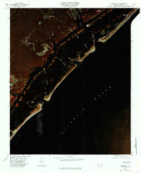 1980 Hampstead1986 Print · USGSThe Pender County coastline and barrier islands are seen here in the early eighties as residential development began to expand around Hampstead. Genealogists and historians can trace the inland settlements of Browntown and the coastal landing at Kings Landing.
 - 1984 Map of Wilmington, 1985 Print
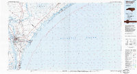 1984 Wilmington1985 Print · USGSThe Lower Cape Fear region is shown here in the mid-1980s as the coastal corridor between Wilmington and the barrier islands experienced significant development. Researchers can trace historic river landings, the winding Intracoastal Waterway, and established communities from Castle Hayne to Topsail Beach.
 - 1990 Map of Wilmington
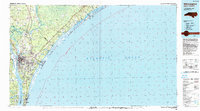 1990 Wilmington1990 Print · USGSThe North Carolina coast in the early nineties reveals a landscape defined by the convergence of the Cape Fear River and the Atlantic shore. Genealogists and historians can trace suburban growth and maritime infrastructure from the inland Kendall Chapel to coastal hubs like Wrightsville Beach and Carolina Beach.
 - 1997 Map of Hampstead, 2000 Print
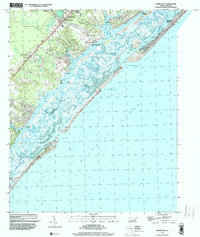 1997 Hampstead2000 Print · USGSCoastal Pender County and its barrier islands come into sharp focus in the late nineties as the region's shoreline communities grew. Genealogists and researchers can trace local landmarks like St Johns Ch, Brown Town, and the docks at Kings Landing.
 - 2010 Map of Hampstead, 2010 Print
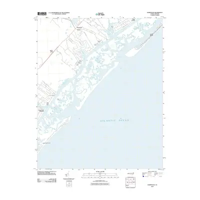 2010 Hampstead2010 Print · USGSCoastal Pender County at the start of the 21st century shows a landscape defined by sound-side landings and growing coastal communities. Genealogists and local historians can trace the development of Hampstead and Brown Town or locate historic access points like Old Point Landing and Kings Landing.
 - 2013 Map of Hampstead, 2013 Print
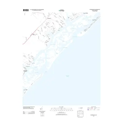 2013 Hampstead2013 Print · USGSThe Pender County coastline is captured here in the early twenty-first century, showing the intricate barrier islands and tidal sounds. Genealogists and local historians can trace the developments at Porters Neck Plantation, Hampstead, and Topsail Beach.
 - 2016 Map of Hampstead, 2016 Print
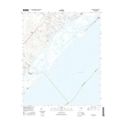 2016 Hampstead2016 Print · USGSCoastal Pender County at the midpoint of the twenty-tens reveals a landscape of growing shoreline communities and intricate marshland waterways. Trace the development of Hampstead and Topsail Beach alongside maritime features like New Topsail Inlet and Kings Landing.
 - 2019 Map of Hampstead, 2019 Print
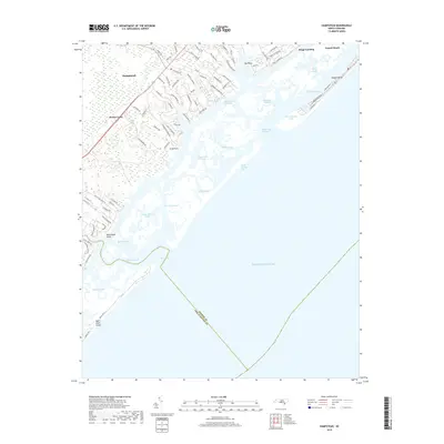 2019 Hampstead2019 Print · USGSCoastal Pender County at the end of the 2010s reveals a landscape of barrier island communities and mainland growth. Genealogists and historians can trace the development of Hampstead and Topsail Beach while locating tidal landmarks like Rich Inlet and Eddy Sound.
 - 2022 Map of Hampstead, 2022 Print
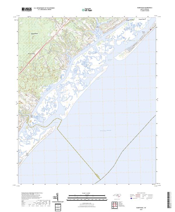 2022 Hampstead2022 Print · USGSThe Pender County coastline and the growing community of Hampstead are captured in this contemporary look at North Carolina's barrier islands. Genealogists and locals can trace land use near Brown Town, the shores of Topsail Island, and landmarks like Kings Landing.
End of results
Showing maps 1-15 of 15
Top cities near Kings Landing
- Wilmington historical maps
- Burgaw historical maps
- Wrightsville Beach historical maps
- Surf City historical maps
- Holly Ridge historical maps
- North Topsail Beach historical maps
See more
Frequently asked questions
- What are the different types of historical maps available for Kings Landing?
- What is the oldest map of Kings Landing?
- Where can I purchase historical maps of Kings Landing for my home or office?
- Where can I download high-res historical maps of Kings Landing?
- Are there historical topographic maps available for Kings Landing?
- Is there historical aerial imagery available for Kings Landing?
- Where are historical maps of Kings Landing sourced from?