Old Maps of Willard, North Carolina for Metal Detecting
Plan your next treasure hunt with 12 historic maps of Willard. Find old homesites, ghost towns, trails, and gathering spots that may be lost to time — perfect for identifying promising metal detecting locations.
- Locate forgotten sites: Uncover places like long-lost settlements, abandoned rail lines, or gathering spots.
- Plan better hunts: Use map overlays combined with LiDAR or satellite views to narrow in on historically rich areas.
- Made for detectorists: Thousands of hobbyists use these maps to discover relics, coins, and hidden history.
Use these historic maps to boost your research and find new opportunities beneath the surface of Willard.
Willard, NC maps
(12)- 1942 Map of Burgaw
 1942 Burgaw1942 Print · USGSMid-century Pender County reveals a fascinating mix of swamp wilderness and planned agricultural colonies. Genealogists and researchers can trace family lands in Penderlea Homesteads, explore the immigrant history of St. Helena, and locate features like the Prison Camp and Boney Mill Pond.2 unique versions available
 - 1953 Map of Beaufort, 1965 Print
 1953 Beaufort1965 Print · USGSThe North Carolina coastline in the mid-fifties reveals an era of massive military expansion alongside traditional maritime life. Genealogists can trace family names and small settlements from Sealevel to Sneads Ferry or locate landmarks like Fort Macon.3 unique versions available
 - 1954 Map of Beaufort
 1954 Beaufort1954 Print · USGSCoastal North Carolina in the mid-fifties reveals a landscape of strategic military installations, sprawling wetlands, and thriving rail towns. Genealogists and historians can trace the foundations of Wilmington, the rural reaches of Duplin County, and shoreline landmarks like Cape Lookout and Carolina Beach.
 - 1972 Map of Beaufort, 1975 Print
 1972 Beaufort1975 Print · USGSThe North Carolina coast in the early seventies shows a landscape defined by massive military bases and coastal sounds. Trace rural family roots at Sarecta and Catherine Lake or explore the barrier islands of the Cape Lookout National Seashore.
 - 1981 Map of Wallace East
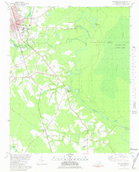 1981 Wallace East1981 Print · USGSCoastal North Carolina's river and rail corridor is captured here in the early eighties as the Seaboard Coast Line connects small towns. Researchers can trace family roots through the rural settlements of Willard, Watha, and Tin City, or locate the Riverview Memorial Park (Cemetery) near the riverbanks.
 - 1986 Map of New River
 1986 New River1986 Print · USGSCoastal Onslow County in the mid-eighties shows a landscape shaped by military expansion and the preserved wetlands of the Carolina coast. Genealogists and historians can trace the foundations of Jacksonville and small outlying communities like Richlands and Swansboro.
 - 1991 Map of New River
 1991 New River1991 Print · USGSCoastal Onslow and Pender counties appear here in the early 1990s as the military and maritime economies matured. Researchers can trace the expansive Camp Lejeune grounds and find rural landings like Fulcher Landing and Sanders Landing.
 - 2010 Map of Wallace East, 2010 Print
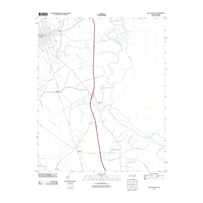 2010 Wallace East2010 Print · USGSThe Pender County interior comes into focus during the early twenty-first century as agricultural landscapes and historic rail corridors remain central to the region. Researchers can locate family landmarks like the Penderlea Homesteads, the Wallace Post Office, and the waters of Boney Mill Pond.
 - 2013 Map of Wallace East, 2013 Print
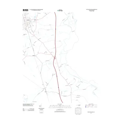 2013 Wallace East2013 Print · USGSThe rural landscapes and river bends of Pender County are visible here in the early twenty-first century. Genealogists and local historians can trace the development of the Penderlea Homesteads and locate early settlements like Tin City and Watha.
 - 2016 Map of Wallace East, 2016 Print
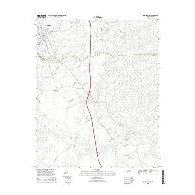 2016 Wallace East2016 Print · USGSCoastal plain life in Pender County during the twenty-first century is defined by the winding Northeast Cape Fear River and the rural crossroads of Watha and Willard. You can trace modern transport corridors and local landmarks like Henderson Field or the waters of Boney Mill Pond.
 - 2019 Map of Wallace East, 2019 Print
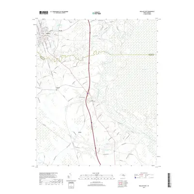 2019 Wallace East2019 Print · USGSThe railroad corridor of Pender and Duplin Counties comes into focus in this contemporary survey of the North Carolina coastal plain. Genealogists and local historians can trace the streets of Wallace, Willard, and Watha alongside the winding Northeast Cape Fear River.
 - 2022 Map of Wallace East, 2022 Print
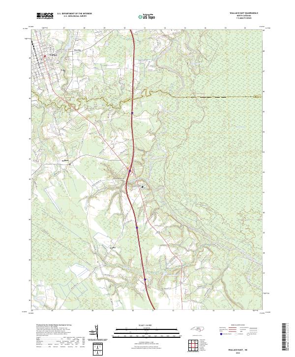 2022 Wallace East2022 Print · USGSCoastal plain communities and wetlands define this Pender County landscape in the early 2020s. Genealogists and local historians can trace family roots through the streets of Wallace, explore the vicinity of Boney Mill Pond, or locate the rural crossroads of Tin City and Watha.
End of results
Showing maps 1-12 of 12
Top cities near Willard
- Burgaw historical maps
- Rose Hill historical maps
- Beulaville historical maps
- Magnolia historical maps
- Greenevers historical maps
- Atkinson historical maps
See more
Frequently asked questions
- What are the different types of historical maps available for Willard?
- What is the oldest map of Willard?
- Where can I purchase historical maps of Willard for my home or office?
- Where can I download high-res historical maps of Willard?
- Are there historical topographic maps available for Willard?
- Is there historical aerial imagery available for Willard?
- Where are historical maps of Willard sourced from?