Old Maps of Stearns, North Carolina for Genealogy
Trace your family roots with 13 historic maps of Stearns. These high-res maps reveal old neighborhoods, homesites, landmarks, and streets — helping you uncover where your ancestors lived and how the area evolved over time.
- Explore historic neighborhoods: Identify where your relatives may have lived in the 1800s or 1900s.
- Compare maps over time: Trace the changes in streets, buildings, and landmarks for multi-generational research.
- Perfect for genealogy & ancestry research: Used by family historians and researchers to map out lineage and migration.
These maps are an incredible resource for exploring your personal connection to Stearns's past.
Stearns, NC maps
(13)- 1907 Map of Saluda
 1907 Saluda1907 Print · USGSNorth Carolina's mountain frontier meets the South Carolina foothills in this 1900s survey of the Blue Ridge. Genealogists and researchers can trace the early rail network through Saluda and locate old landmarks like Rockcliff PO and Pleasant Grove Church.3 unique versions available
 - 1955 Map of Knoxville
 1955 Knoxville1955 Print · USGSThe Southern Appalachians and the Smoky Mountains are shown here at a peak of mid-century development and conservation. Genealogists and historians can trace the early road networks connecting Gatlinburg, Waynesville, and the Cherokee Indian Reservation across the high ridges.
 - 1957 Map of Knoxville, 1966 Print
 1957 Knoxville1966 Print · USGSThe Southern Appalachians of Tennessee and North Carolina are mapped here during the mid-twentieth century as new highways reached the high country. Genealogists and historians can trace the topography between Knoxville and Asheville, locating family landmarks near Fontana Lake or along the Blue Ridge Parkway.4 unique versions available
 - 1959 Map of Lake Lure, 1960 Print
 1959 Lake Lure1960 Print · USGSWestern North Carolina’s foothills are captured here in the late fifties, showcasing the early development around Lake Lure and Lake Adger. Local historians can trace old homesteads and community hubs like Shingle Hollow, Mullen Bible Sch, and numerous family-named mountain peaks.2 unique versions available
 - 1960 Map of Knoxville
 1960 Knoxville1960 Print · USGSThe Southern Appalachians come alive in the 1950s, showing the intersection of new national park tourism and deep-rooted mountain industry. Trace old rail lines like the Clinchfield RR and find high-altitude landmarks from Mt Le Conte to the Cherokee Indian Reservation.2 unique versions available
 - 1964 Map of Knoxville
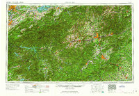 1964 Knoxville1964 Print · USGSThe Southern Appalachians and Great Smokies are captured here during the mid-sixties, showing the rugged borderlands of Tennessee and North Carolina. Researchers can trace historic mountain routes like U S 441, the expanse of Pisgah National Forest, and the growing footprints of Asheville and Knoxville.
 - 1982 Map of Mill Spring, 1983 Print
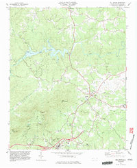 1982 Mill Spring1983 Print · USGSPolk County at the start of the 1980s reveals a landscape defined by the waters of Lake Adger and the foothills of the Blue Ridge. Genealogists and local historians can trace rural family churches like Victory Ch and landmarks such as Red Barn Landing or Tryon Peak.2 unique versions available
 - 1986 Map of Hendersonville
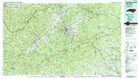 1986 Hendersonville1986 Print · USGSThe Blue Ridge foothills of North and South Carolina are documented here in the mid-eighties as modern highways began to reshape mountain travel. Local historians can trace the paths of the Southern Railway through Hendersonville or locate landmarks like Looking Glass Rock and Inman Mills.2 unique versions available
 - 2010 Map of Mill Spring, 2010 Print
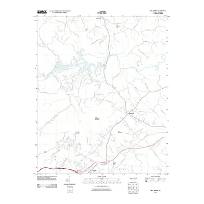 2010 Mill Spring2010 Print · USGSPolk County at the turn of the decade shows a landscape of deep river valleys and rising summits. Trace the modern development around Columbus and Lake Adger, or locate family landmarks like Red Barn Landing and the Turner Shoals Dam.
 - 2013 Map of Mill Spring, 2013 Print
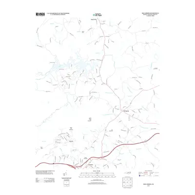 2013 Mill Spring2013 Print · USGSNorth Carolina's foothills are captured in this 2010s survey, showing the landscape around Columbus and Mill Spring. Researchers can trace local landmarks like Pea Ridge Lookout Tower, Red Barn Landing, and the topography of White Oak Mountain.
 - 2016 Map of Mill Spring, 2016 Print
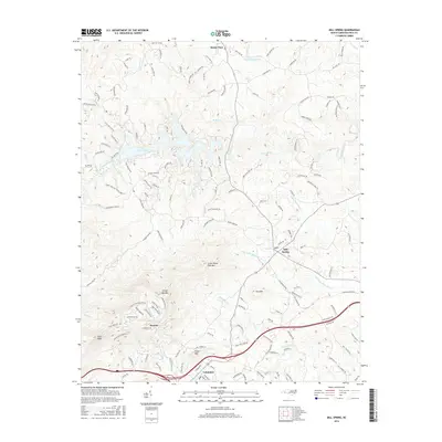 2016 Mill Spring2016 Print · USGSThe Polk County foothills come into focus in the mid-2010s, showing the developed corridors of Columbus and the winding waters of the Green River. Genealogists and local historians can trace the roads around Mill Spring and family-named summits like Foster Mtn and Fox Mtn.
 - 2019 Map of Mill Spring, 2019 Print
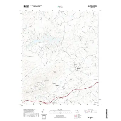 2019 Mill Spring2019 Print · USGSThe foothills of the Blue Ridge Mountains come alive in this recent survey of Polk County, where the town of Columbus sits beneath the shadow of Tryon Peak. Genealogists can trace family names at the Midway Baptist Church Cem or Peniel Baptist Church Graveyard.
 - 2022 Map of Mill Spring, 2022 Print
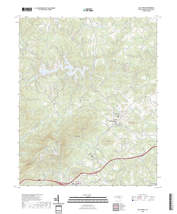 2022 Mill Spring2022 Print · USGSIn the foothills of Polk County during the 2020s, the landscape is defined by the rise of White Oak Mtn and the waters of Lake Adger. Family historians can locate several historic burial grounds, including Midway Baptist Church Cem and Mill Spring First Baptist Church Graveyard.
End of results
Showing maps 1-13 of 13
Top cities near Stearns
- Greer historical maps
- Hendersonville historical maps
- Rutherfordton historical maps
- Inman historical maps
- Flat Rock historical maps
- Landrum historical maps
See more
Frequently asked questions
- What are the different types of historical maps available for Stearns?
- What is the oldest map of Stearns?
- Where can I purchase historical maps of Stearns for my home or office?
- Where can I download high-res historical maps of Stearns?
- Are there historical topographic maps available for Stearns?
- Is there historical aerial imagery available for Stearns?
- Where are historical maps of Stearns sourced from?