Old Maps of Pisgah, North Carolina for Genealogy
Trace your family roots with 11 historic maps of Pisgah. These high-res maps reveal old neighborhoods, homesites, landmarks, and streets — helping you uncover where your ancestors lived and how the area evolved over time.
- Explore historic neighborhoods: Identify where your relatives may have lived in the 1800s or 1900s.
- Compare maps over time: Trace the changes in streets, buildings, and landmarks for multi-generational research.
- Perfect for genealogy & ancestry research: Used by family historians and researchers to map out lineage and migration.
These maps are an incredible resource for exploring your personal connection to Pisgah's past.
Pisgah, NC maps
(11)- 1953 Map of Raleigh, 1965 Print
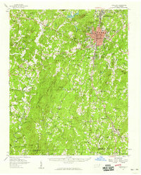
 1953 Raleigh1965 Print · USGSCentral North Carolina in the early sixties shows a landscape of growing towns and military hubs before the full expansion of the interstate system. Genealogists can trace family footprints across the Piedmont through Wake Forest, Siler City, and the large Fort Bragg Military Reservation.4 unique versions available
 - 1954 Map of Raleigh
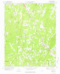
 1954 Raleigh1954 Print · USGSThe North Carolina Piedmont and Sandhills are captured in the mid-fifties during a period of steady regional growth. Genealogists and historians can trace the development of towns like Siler City or locate landmarks such as Falls of Neuse and Camp Mackall.
 - 1957 Map of Asheboro, 1959 Print
 1957 Asheboro1959 Print · USGSRandolph County's rural and industrial character is captured here during the late fifties, centered on the growing town of Asheboro. Researchers can trace old family roots at Whynot, locate the State Prison (Camp 406), or find numerous rural landmarks like Tabernacle Sch and Callicutts Ch.2 unique versions available
 - 1973 Map of Seagrove, 1977 Print
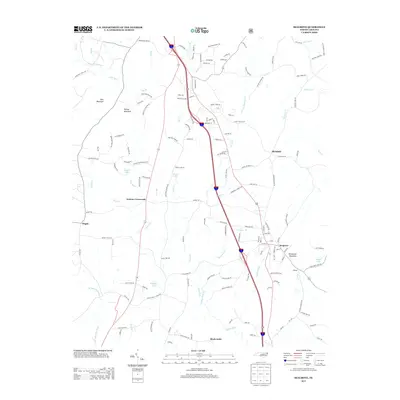
 1973 Seagrove1977 Print · USGSThe rural communities of Randolph and Montgomery counties are captured here in the early 1970s as the local economy transitioned from traditional farming. Genealogists can locate family landmarks such as Center Cross Ch, Fairview Ch, and the crossroads at Whynot.
 - 1984 Map of Chapel Hill, 1985 Print
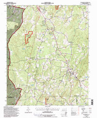
 1984 Chapel Hill1985 Print · USGSNorth Carolina’s Piedmont and the northern reaches of the Uwharrie Mountains are captured here in the mid-eighties. Genealogists can trace family roots through rural landmarks like Union Chapel or locate old rail stops along the Seaboard line.
 - 1994 Map of Seagrove, 1996 Print
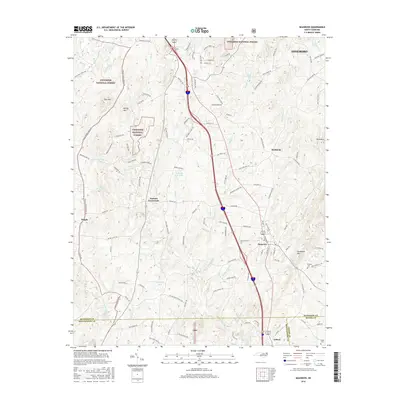
 1994 Seagrove1996 Print · USGSThe community of Seagrove and the surrounding North Carolina Piedmont are captured here in the mid-nineties during a period of steady rural continuity. Researchers can locate many local landmarks, including Pisgah Ch, the unique settlement of Whynot, and the rugged boundaries of the Uwharrie National Forest.
 - 2011 Map of Seagrove, 2011 Print
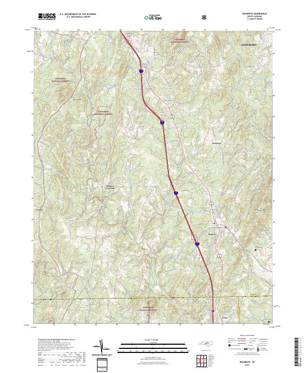
 2011 Seagrove2011 Print · USGSCovers Pisgah, including Seagrove, Whynot, and other nearby areas
 - 2013 Map of Seagrove, 2013 Print
 2013 Seagrove2013 Print · USGSCovers Pisgah, including Seagrove, Whynot, and other nearby areas
 - 2016 Map of Seagrove, 2016 Print
 2016 Seagrove2016 Print · USGSCovers Pisgah, including Seagrove, Whynot, and other nearby areas
 - 2019 Map of Seagrove, 2019 Print
 2019 Seagrove2019 Print · USGSCovers Pisgah, including Seagrove, Whynot, and other nearby areas
 - 2022 Map of Seagrove, 2022 Print
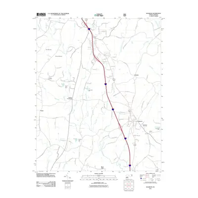
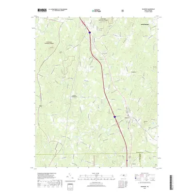
 2022 Seagrove2022 Print · USGSThe pottery-rich corridor of Randolph County comes alive in this contemporary survey of Seagrove and the eastern Uwharrie National Forest. Researchers can trace old family routes and rural landmarks like the Whynot Cem, Aumans Crossroads, and Needhams Mtn.
End of results
Showing maps 1-11 of 11
Top cities near Pisgah
- Asheboro historical maps
- Troy historical maps
- Ramseur historical maps
- Biscoe historical maps
- Denton historical maps
- Franklinville historical maps
See more
Frequently asked questions
- What are the different types of historical maps available for Pisgah?
- What is the oldest map of Pisgah?
- Where can I purchase historical maps of Pisgah for my home or office?
- Where can I download high-res historical maps of Pisgah?
- Are there historical topographic maps available for Pisgah?
- Is there historical aerial imagery available for Pisgah?
- Where are historical maps of Pisgah sourced from?