Old Maps of Reidsville, North Carolina
Explore 25 old maps of Reidsville, spanning from 1953 to today. These high-resolution historic maps reveal how streets, neighborhoods, landmarks, and natural features evolved over time — perfect for genealogy, metal detecting, research, and local history exploration.
What you can do with these maps:
- See how Reidsville changed over time: Compare historical maps to modern-day views to trace roads, homesites, rail lines & more.
- View detailed metadata: Each map includes creators, publishers, year, scale, and archive source.
- Overlay maps with satellite & LiDAR: Visualize the past alongside modern tools to explore terrain & human change.
- Trusted historical sources: Maps sourced from the USGS, Library of Congress, and other archives.
- Access maps your way: View online, download high-res files, or order prints for personal or research use.
Start exploring old maps of Reidsville to uncover forgotten places, hidden landmarks, and the deep history beneath your feet.
Reidsville, NC maps
(25)- 1953 Map of Greensboro, 1981 Print
 1953 Greensboro1981 Print · USGSThe Piedmont borderlands of North Carolina and Virginia show a landscape defined by new reservoirs and old rail lines. Trace family roots and the changing river geography through Elon College, the John H Kerr Reservoir, and South Boston.
 - 1954 Map of Greensboro
 1954 Greensboro1954 Print · USGSThe Piedmont borderlands of North Carolina and Virginia come alive in this mid-fifties study of a region defined by its rivers and rails. Researchers can trace the growing Buggs Island Lake or follow the paths of the Southern Ry and Seaboard Air Line RR through towns like Oxford and Reidsville.
 - 1962 Map of Greensboro
 1962 Greensboro1962 Print · USGSThe Piedmont region along the Virginia and North Carolina border comes alive in the early 1960s, showing a landscape defined by industry and new reservoirs. Trace the path of the Virginian RR or explore the early development of Greensboro and Durham.
 - 1966 Map of Greensboro
 1966 Greensboro1966 Print · USGSThe North Carolina and Virginia Piedmont thrives during the mid-sixties, showcasing a landscape of textile hubs and expanding river reservoirs. Researchers can trace the rail corridors of the Southern Railway, find local landmarks like Elon College, or locate the extensive Camp Butner Military Reservation.
 - 1971 Map of Southeast Eden, 1974 Print
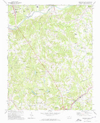 1971 Southeast Eden1974 Print · USGSRockingham County in the early 1970s shows a landscape of rural crossroads and growing industry between the Dan River and REIDSVILLE. Genealogists can trace family landmarks like the Chinqua Penn Plantation, Slaydon Cem, and Oregon Hill.2 unique versions available
 - 1972 Map of Williamsburg, 1974 Print
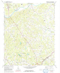
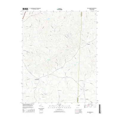
 1972 Williamsburg1974 Print · USGSRockingham and Caswell counties in the early 1970s reveal a landscape of interconnected farm communities and country roads. Genealogists can trace family footprints at Williamsburg, Settle Cem, and numerous rural sanctuaries like Browns Arbor Ch.
 - 1972 Map of Reidsville, 1974 Print
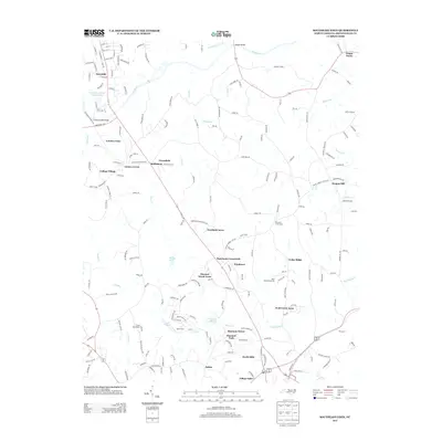
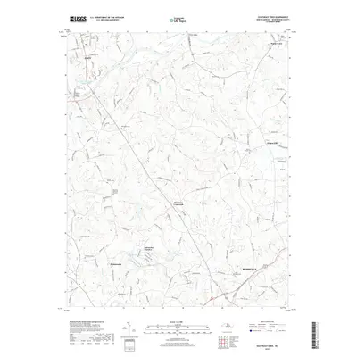
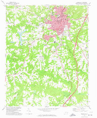 1972 Reidsville1974 Print · USGSReidsville and its surrounding Rockingham County rural districts are shown here during the early seventies, capturing the city's established residential and industrial core. Genealogists and local historians can trace family locations near Reidsville Cem, Wesley Chapel, or the outlying community of Monroeton.2 unique versions available
 - 1977 Map of Southeast Eden, 1992 Print
 1977 Southeast Eden1992 Print · USGSNorth Carolina's Piedmont region in the 1970s shows the growth of settlements like Eden and Reidsville alongside rural farmsteads. Genealogists can trace family landmarks and local institutions like Lincoln Sch, Harrisons Crossroads, and the Chinqua Penn Plantation.
 - 1984 Map of Greensboro
 1984 Greensboro1984 Print · USGSThe North Carolina Piedmont in the mid-eighties shows a region of growing urban centers and vital water resources. Local historians can trace the development of Greensboro, locate the Elon College campus, or explore the grounds of Guilford Courthouse National Military Park.
 - 1997 Map of Williamsburg, 2000 Print
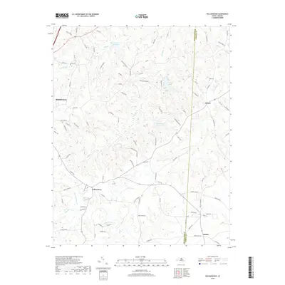
 1997 Williamsburg2000 Print · USGSThe Piedmont landscape of Rockingham and Caswell Counties in the late nineties is detailed here through its rural settlements and river networks. Genealogists can trace family landmarks like Settle Cem and Garrett Grove Ch along the Haw River.
 - 2010 Map of Reidsville, 2010 Print
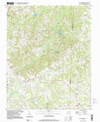
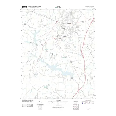 2010 Reidsville2010 Print · USGSCovers Reidsville, including Wentworth, Monroeton, and other nearby areas
 - 2010 Map of Southeast Eden, 2010 Print
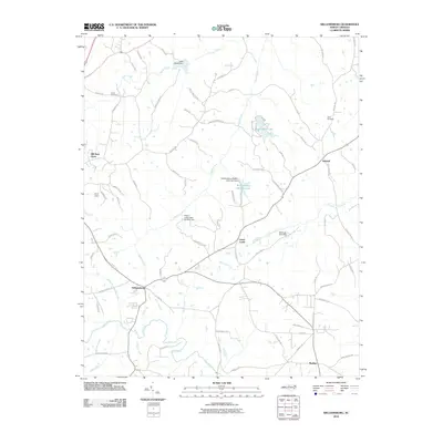
 2010 Southeast Eden2010 Print · USGSCovers Reidsville, including Eden, Wentworth, and other nearby areas
 - 2010 Map of Williamsburg, 2010 Print
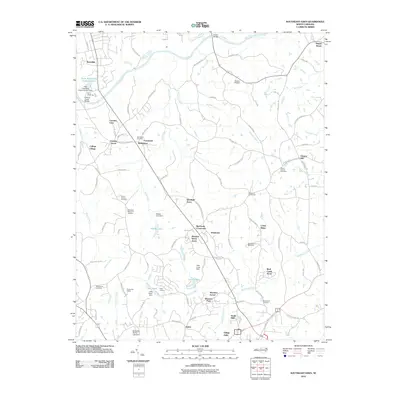
 2010 Williamsburg2010 Print · USGSCovers Reidsville, including Ashland, Williamsburg, and other nearby areas
 - 2013 Map of Williamsburg, 2013 Print
 2013 Williamsburg2013 Print · USGSCovers Reidsville, including Ashland, Williamsburg, and other nearby areas
 - 2013 Map of Southeast Eden, 2013 Print
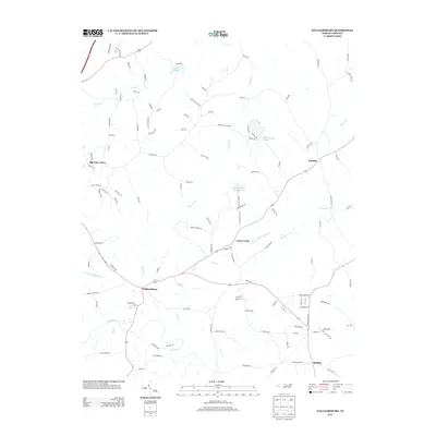
 2013 Southeast Eden2013 Print · USGSCovers Reidsville, including Eden, Wentworth, and other nearby areas
 - 2013 Map of Reidsville, 2013 Print
 2013 Reidsville2013 Print · USGSCovers Reidsville, including Wentworth, Monroeton, and other nearby areas
 - 2016 Map of Southeast Eden, 2016 Print
 2016 Southeast Eden2016 Print · USGSCovers Reidsville, including Eden, Wentworth, and other nearby areas
 - 2016 Map of Reidsville, 2016 Print
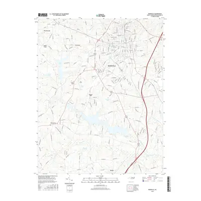 2016 Reidsville2016 Print · USGSCovers Reidsville, including Wentworth, Monroeton, and other nearby areas
 - 2016 Map of Williamsburg, 2016 Print
 2016 Williamsburg2016 Print · USGSCovers Reidsville, including Ashland, Williamsburg, and other nearby areas
 - 2019 Map of Reidsville, 2019 Print
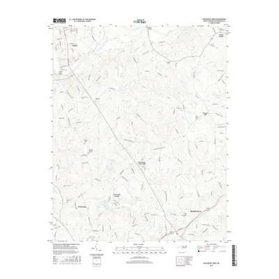
 2019 Reidsville2019 Print · USGSCovers Reidsville, including Wentworth, Monroeton, and other nearby areas
 - 2019 Map of Williamsburg, 2019 Print
 2019 Williamsburg2019 Print · USGSCovers Reidsville, including Ashland, Williamsburg, and other nearby areas
 - 2019 Map of Southeast Eden, 2019 Print
 2019 Southeast Eden2019 Print · USGSCovers Reidsville, including Eden, Wentworth, and other nearby areas
 - 2022 Map of Southeast Eden, 2022 Print
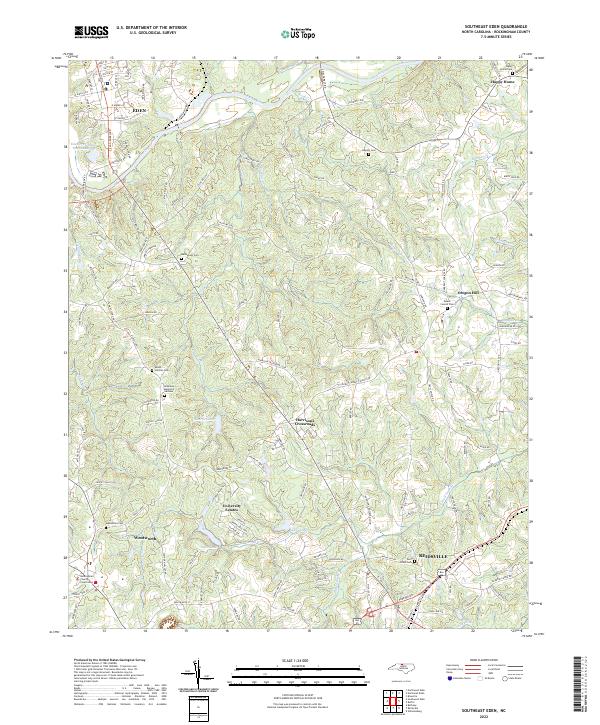 2022 Southeast Eden2022 Print · USGSRockingham County is captured in the early 2020s as its historic river towns and rural crossroads continue to evolve. Genealogists and historians can trace the locations of Rockingham County Courthouse, Bethlehem Cem, and settlements like Oregon Hill.
 - 2022 Map of Williamsburg, 2022 Print
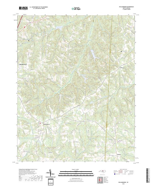 2022 Williamsburg2022 Print · USGSThe rural Piedmont of the early 2020s is mapped here along the border of Rockingham and Caswell counties. Genealogists and local historians can locate family landmarks such as Settle Cem and Apple Cem near settlements like Williamsburg and Ashland.
 - 2022 Map of Reidsville, 2022 Print
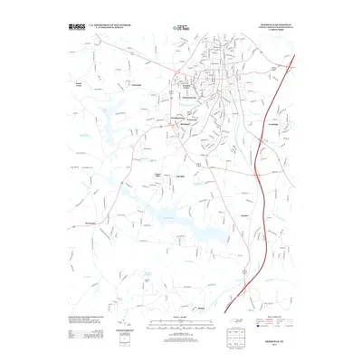
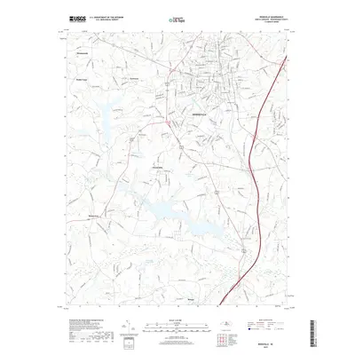
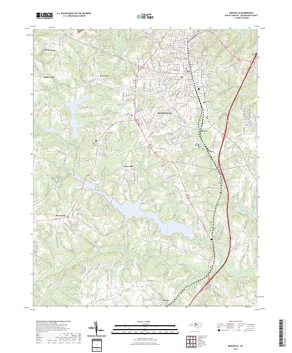 2022 Reidsville2022 Print · USGSReidsville and its surrounding Rockingham County communities are shown here in the early twenty-first century, anchored by the Haw River and Little Troublesome Cr. Researchers can trace local lineage through several sites like Reidlawn Cem, Elm Grove Church, and the settlement at Monroeton.
End of results
Showing maps 1-25 of 25
Top cities near Reidsville
- Greensboro historical maps
- Burlington historical maps
- Eden historical maps
- Gibsonville historical maps
- Summerfield historical maps
- Elon historical maps
See more
Top neighborhoods of Reidsville
- Cambridge historical maps
- Village Oaks historical maps
- Oak Hills historical maps
- Hill View Acres historical maps
- Forest Hills historical maps
- Womack Courts historical maps
See more
Frequently asked questions
- What are the different types of historical maps available for Reidsville?
- What is the oldest map of Reidsville?
- Where can I purchase historical maps of Reidsville for my home or office?
- Where can I download high-res historical maps of Reidsville?
- Are there historical topographic maps available for Reidsville?
- Is there historical aerial imagery available for Reidsville?
- Where are historical maps of Reidsville sourced from?