2000s (21st Century) Maps of Reidsville, North Carolina
Explore 15 historic maps of Reidsville from the 2000s (21st Century). These maps offer a rare glimpse into what life looked like during the 2000s — showing old roads, neighborhoods, homes, and landmarks that have changed or disappeared over time.
Whether you're researching your family's past, planning a metal detecting trip, or studying how Reidsville's landscape evolved across the 2000s, these high-resolution maps are a powerful tool for exploring the history of this region.
- Focus on a specific era: All maps on this page are from the 2000s, giving you a focused view of this time period.
- See what’s changed: Compare century-old streets, trails, and buildings to today's modern landscape using overlays and satellite layers.
- Research with precision: Use these maps for genealogy, historical research, land use analysis, or educational projects.
- View, download, or print: Maps are fully viewable online in high resolution, and can be downloaded or printed for your own records.
Start exploring Reidsville's history through authentic maps from the 2000s. This is your window into the past.
Reidsville, NC maps
(15)- 2010 Map of Reidsville, 2010 Print
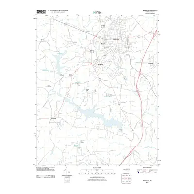 2010 Reidsville2010 Print · USGSReidsville and the surrounding Rockingham County countryside are documented here in the early twenty-first century. Researchers can trace family history through sites like Greenview Cemetery or explore the development of Monroeton, Sandy Cross, and Warf Airport.
 - 2010 Map of Southeast Eden, 2010 Print
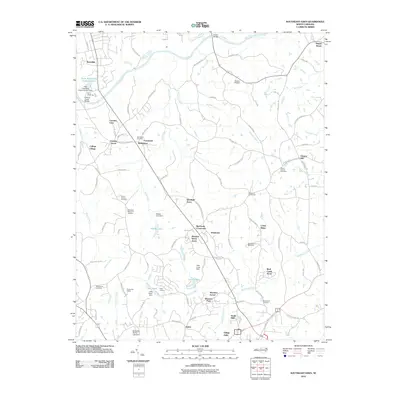 2010 Southeast Eden2010 Print · USGSThe area southeast of Eden is captured in the early twenty-first century as a mix of river-fed bottomlands and growing residential developments. Genealogists and local historians can trace family locations through numerous sites like Wolf Island Cemetery, the Wolf Island Racetrack, and the settlement at Oregon Hill.
 - 2010 Map of Williamsburg, 2010 Print
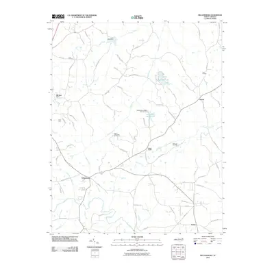 2010 Williamsburg2010 Print · USGSRockingham County at the start of the 21st century remains a landscape of rolling creeks and quiet crossroads. Genealogists and local historians can trace family landmarks like Settle Cemetery, Lenox Castle, and the waters of the Haw River.
 - 2013 Map of Williamsburg, 2013 Print
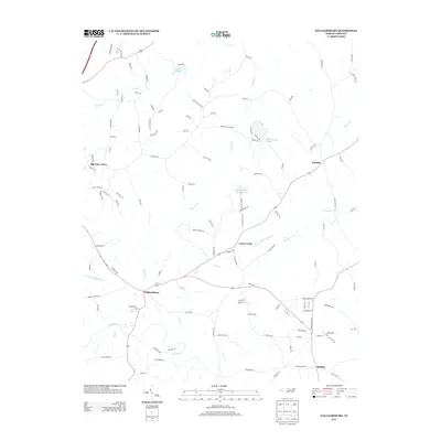 2013 Williamsburg2013 Print · USGSThe rural stretches of Rockingham County are captured here in the early twenty-first century, centered on the community of Williamsburg. Genealogists and local historians can trace the banks of the Haw River and find old family-named routes like Manley Farm Rd and Mullins Rd.
 - 2013 Map of Southeast Eden, 2013 Print
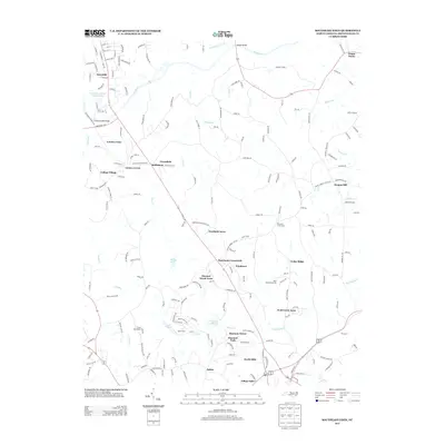 2013 Southeast Eden2013 Print · USGSNorth Carolina's northern Piedmont reveals a landscape of growing residential enclaves and historic river crossings in the early twenty-first century. Researchers can trace the layout of community clusters like Salem, Oregon Hill, and Shannon Forest near the Dan River.
 - 2013 Map of Reidsville, 2013 Print
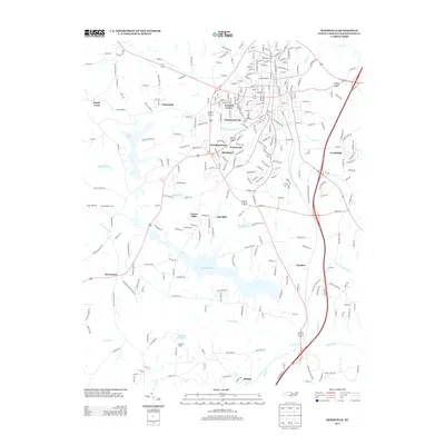 2013 Reidsville2013 Print · USGSThe Reidsville area in the early twenty-first century is defined by its transition from urban neighborhoods to expansive water resources. Genealogists and local historians can trace family-named areas and landmarks from Monroeton to Lake Reidsville and the Haw River corridor.
 - 2016 Map of Southeast Eden, 2016 Print
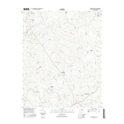 2016 Southeast Eden2016 Print · USGSRockingham County at the mid-2010s shows the suburban reach of Reidsville and Eden stretching into a landscape of traditional crossroads. Genealogists and local historians can trace legacy landmarks like Harrisons Crossroads, Oregon Hill, and Bethlehem Cem.
 - 2016 Map of Reidsville, 2016 Print
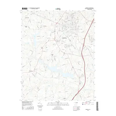 2016 Reidsville2016 Print · USGSReidsville and the surrounding Rockingham County countryside are shown here in the mid-2010s, amidst a landscape of river valleys and reservoirs. Genealogists and locals can trace family sites at Evergreen Memory Gardens and Reidlawn Cem or locate the Warf Airport near Clarks Lake.
 - 2016 Map of Williamsburg, 2016 Print
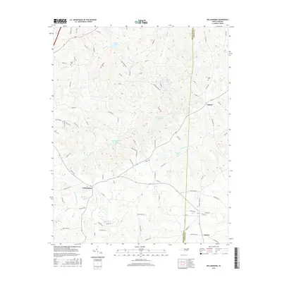 2016 Williamsburg2016 Print · USGSThe Rockingham and Caswell County borderlands come into focus in the mid-2010s, showing a rural landscape defined by its waterways. Genealogists and local historians can trace family-named sites like Settle Cem, Apple Cem, and the old settlement at Williamsburg.
 - 2019 Map of Reidsville, 2019 Print
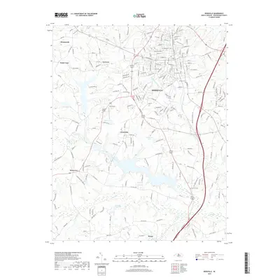 2019 Reidsville2019 Print · USGSReidsville and its rural Rockingham County surroundings are captured here in the late twenty-teens, showing the area's modern road network and river valleys. Researchers can trace local heritage through sites like Elm-Grove Cem, Monroeton, and Washburns Lake.
 - 2019 Map of Williamsburg, 2019 Print
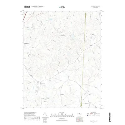 2019 Williamsburg2019 Print · USGSIn the rural borderlands of Rockingham and Caswell counties during the late 2010s, this area maintains its agricultural identity through scattered hamlets and family cemeteries. Researchers can trace land tracts near Williamsburg, find ancestral sites like Settle Cem, and locate the various creeks feeding the Haw River.
 - 2019 Map of Southeast Eden, 2019 Print
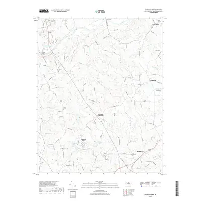 2019 Southeast Eden2019 Print · USGSThe rural corridor between Eden and Reidsville is captured here in the late 2010s, showing a landscape defined by the Dan River and historic crossroads. Researchers can locate numerous family and community landmarks such as Bethlehem Cemetery, Harrisons Crossroads, and Oregon Hill.
 - 2022 Map of Southeast Eden, 2022 Print
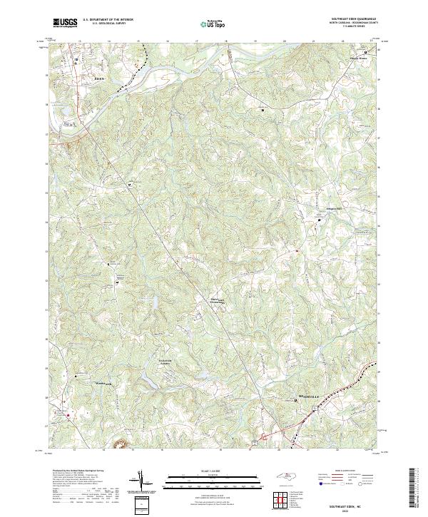 2022 Southeast Eden2022 Print · USGSRockingham County is captured in the early 2020s as its historic river towns and rural crossroads continue to evolve. Genealogists and historians can trace the locations of Rockingham County Courthouse, Bethlehem Cem, and settlements like Oregon Hill.
 - 2022 Map of Williamsburg, 2022 Print
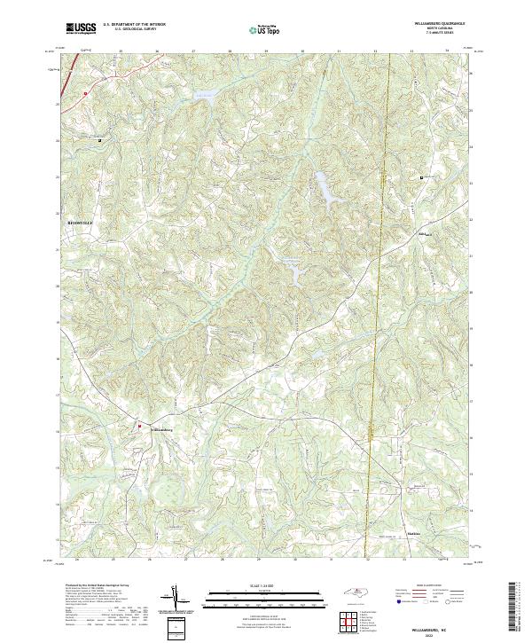 2022 Williamsburg2022 Print · USGSThe rural Piedmont of the early 2020s is mapped here along the border of Rockingham and Caswell counties. Genealogists and local historians can locate family landmarks such as Settle Cem and Apple Cem near settlements like Williamsburg and Ashland.
 - 2022 Map of Reidsville, 2022 Print
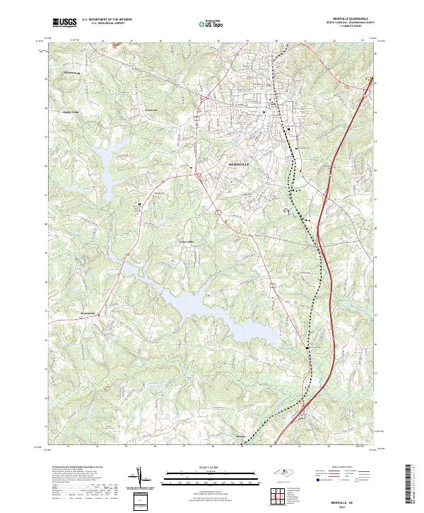 2022 Reidsville2022 Print · USGSReidsville and its surrounding Rockingham County communities are shown here in the early twenty-first century, anchored by the Haw River and Little Troublesome Cr. Researchers can trace local lineage through several sites like Reidlawn Cem, Elm Grove Church, and the settlement at Monroeton.
End of results
Showing maps 1-15 of 15
Top cities near Reidsville
- Greensboro historical maps
- Burlington historical maps
- Eden historical maps
- Gibsonville historical maps
- Summerfield historical maps
- Elon historical maps
See more
Top neighborhoods of Reidsville
- Cambridge historical maps
- Village Oaks historical maps
- Oak Hills historical maps
- Hill View Acres historical maps
- Forest Hills historical maps
- Womack Courts historical maps
See more
Frequently asked questions
- What are the different types of historical maps available for Reidsville?
- What is the oldest map of Reidsville?
- Where can I purchase historical maps of Reidsville for my home or office?
- Where can I download high-res historical maps of Reidsville?
- Are there historical topographic maps available for Reidsville?
- Is there historical aerial imagery available for Reidsville?
- Where are historical maps of Reidsville sourced from?