Old Maps of Sharps, North Carolina
Explore 12 old maps of Sharps, spanning from 1953 to today. These high-resolution historic maps reveal how streets, neighborhoods, landmarks, and natural features evolved over time — perfect for genealogy, metal detecting, research, and local history exploration.
What you can do with these maps:
- See how Sharps changed over time: Compare historical maps to modern-day views to trace roads, homesites, rail lines & more.
- View detailed metadata: Each map includes creators, publishers, year, scale, and archive source.
- Overlay maps with satellite & LiDAR: Visualize the past alongside modern tools to explore terrain & human change.
- Trusted historical sources: Maps sourced from the USGS, Library of Congress, and other archives.
- Access maps your way: View online, download high-res files, or order prints for personal or research use.
Start exploring old maps of Sharps to uncover forgotten places, hidden landmarks, and the deep history beneath your feet.
Sharps, NC maps
(12)- 1953 Map of Winston-Salem, 1974 Print
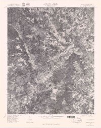
 1953 Winston-Salem1974 Print · USGSThe North Carolina Piedmont and Virginia highlands meet in the mid-1950s, a landscape defined by the tobacco and textile hubs of the Blue Ridge foothills. Researchers can trace the rail-and-river geography connecting Winston-Salem to mountain towns like Mount Airy and Galax.2 unique versions available
 - 1955 Map of Winston-Salem
 1955 Winston-Salem1955 Print · USGSThe Central Blue Ridge and Piedmont transition are captured here in the mid-fifties, from the industrial hub of Winston-Salem to the high peaks of Southwest Virginia. Genealogists can trace family landmarks like Richmond Hill Ch, Siloam Ch, and the old rail stops along the Southern Railway.
 - 1962 Map of Winston-Salem
 1962 Winston-Salem1962 Print · USGSThe North Carolina Piedmont meets the Virginia highlands in the early sixties, showing the rail corridors and mountain gaps of the southern Appalachians. Researchers can trace the Blue Ridge Parkway or locate family sites near Winston-Salem, Mount Airy, and Hanging Rock Mountain.
 - 1971 Map of Belews Lake, 1973 Print
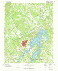 1971 Belews Lake1973 Print · USGSThe rural borderlands of Stokes and Rockingham counties are captured here in the early 1970s as the landscape transformed around Belews Lake. Researchers can trace old family sites near Pine Hall, Camp Vaughn, and country landmarks like Sycamore Ch.3 unique versions available
 - 1977 Map of Belews Lake, 1979 Print
 1977 Belews Lake1979 Print · USGSThe Dan River and its surrounding Piedmont landscapes are captured in detail in the late seventies. Researchers can trace the sprawling shoreline of Belews Lake or locate the historic settlement of Pine Hall along the Dan River.
 - 1984 Map of Winston-Salem, 1985 Print
 1984 Winston-Salem1985 Print · USGSThe North Carolina Piedmont in the mid-1980s shows the growth of Winston-Salem and the busy rail corridors of the Southern Railway. Genealogists and local historians can trace family-named lands and rural communities from Yadkinville to Mount Airy.2 unique versions available
 - 2000 Map of Belews Lake, 2003 Print
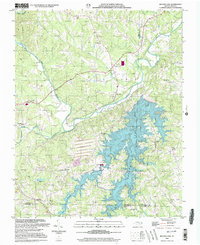 2000 Belews Lake2003 Print · USGSThe Piedmont landscape at the turn of the millennium shows a fascinating mix of rural tradition and industrial utility where four counties meet. Genealogists and local historians can locate numerous landmarks like Withers Chapel, Camp Vaughn, and the riverside settlement of Pine Hall.
 - 2010 Map of Belews Lake, 2010 Print
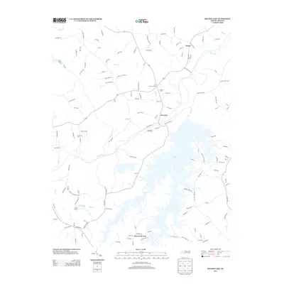
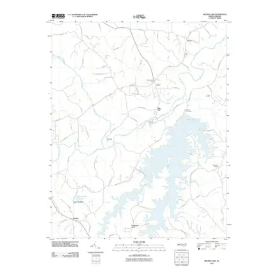 2010 Belews Lake2010 Print · USGSCovers Sharps, including Stokesdale, Ceramic, and other nearby areas
 - 2013 Map of Belews Lake, 2013 Print
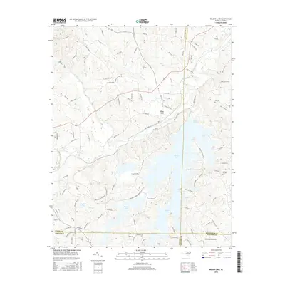
 2013 Belews Lake2013 Print · USGSCovers Sharps, including Stokesdale, Ceramic, and other nearby areas
 - 2016 Map of Belews Lake, 2016 Print
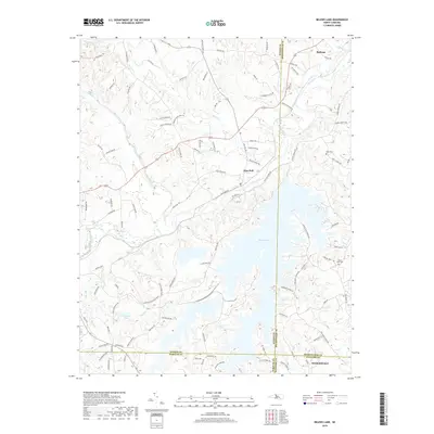
 2016 Belews Lake2016 Print · USGSCovers Sharps, including Stokesdale, Ceramic, and other nearby areas
 - 2019 Map of Belews Lake, 2019 Print
 2019 Belews Lake2019 Print · USGSCovers Sharps, including Stokesdale, Ceramic, and other nearby areas
 - 2022 Map of Belews Lake, 2022 Print
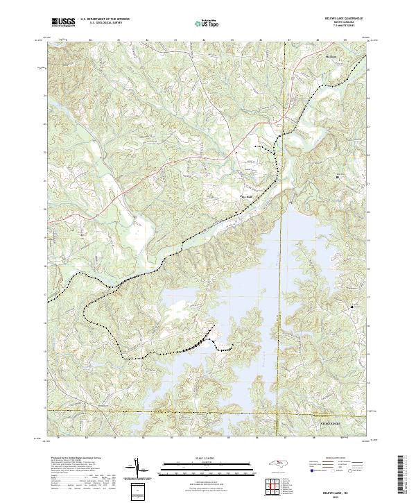 2022 Belews Lake2022 Print · USGSThe sprawling reservoir of Belews Lake and the winding Dan River define this Piedmont landscape in the early 2020s. Genealogists and local historians can trace family-named routes and sites like Eden Cemetery, Mount Zion Cemetery, and Pine Hall.
End of results
Showing maps 1-12 of 12
Top cities near Sharps
- Greensboro historical maps
- Winston-Salem historical maps
- Kernersville historical maps
- Summerfield historical maps
- Walkertown historical maps
- Oak Ridge historical maps
See more
Frequently asked questions
- What are the different types of historical maps available for Sharps?
- What is the oldest map of Sharps?
- Where can I purchase historical maps of Sharps for my home or office?
- Where can I download high-res historical maps of Sharps?
- Are there historical topographic maps available for Sharps?
- Is there historical aerial imagery available for Sharps?
- Where are historical maps of Sharps sourced from?