Old Maps of Suttontown, North Carolina for Hiking & Exploration
Hike through history with 10 historic maps of Suttontown. Explore old trails, ghost towns, and forgotten backroads — perfect for outdoor adventurers and local explorers.
- Rediscover forgotten places: Map out old mining camps, roads, and footpaths that no longer exist on modern maps.
- Layer with modern tools: Combine with LiDAR or satellite views to plan hikes through historical terrain.
- Made for exploration: Popular among hikers, overlanders, and local history lovers.
Use these maps to find adventure and explore the hidden past of Suttontown.
Suttontown, NC maps
(10)- 1953 Map of Raleigh, 1965 Print
 1953 Raleigh1965 Print · USGSCentral North Carolina in the early sixties shows a landscape of growing towns and military hubs before the full expansion of the interstate system. Genealogists can trace family footprints across the Piedmont through Wake Forest, Siler City, and the large Fort Bragg Military Reservation.4 unique versions available
 - 1954 Map of Raleigh
 1954 Raleigh1954 Print · USGSThe North Carolina Piedmont and Sandhills are captured in the mid-fifties during a period of steady regional growth. Genealogists and historians can trace the development of towns like Siler City or locate landmarks such as Falls of Neuse and Camp Mackall.
 - 1978 Map of Dobbersville
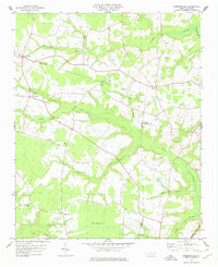 1978 Dobbersville1978 Print · USGSSampson County and the surrounding tri-county area are shown in the late 1970s, characterized by rural settlements and expansive swamp systems. Genealogists can trace family connections through numerous country churches like Brownings Ch and Goshen Ch or locate homes near Suttontown.
 - 1986 Map of Fayetteville
 1986 Fayetteville1986 Print · USGSThe North Carolina coastal plain appears in the mid-1980s as a bustling corridor of military installations and historic tobacco towns. Genealogists and historians can trace the footprints of Fort Bragg Military Reservation, Campbell University, and the rail lines of the Seaboard Coast Line RR.2 unique versions available
 - 1997 Map of Dobbersville, 2000 Print
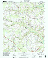 1997 Dobbersville2000 Print · USGSThe rural borders of Sampson and Wayne counties come into focus during the late 1990s, showcasing a landscape of isolated farmsteads and swampy lowlands. Researchers can locate numerous small burial sites and historic congregations like Smith Chapel or Wesley Ch near Dobbersville.
 - 2010 Map of Dobbersville, 2010 Print
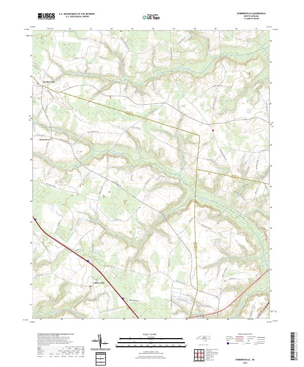
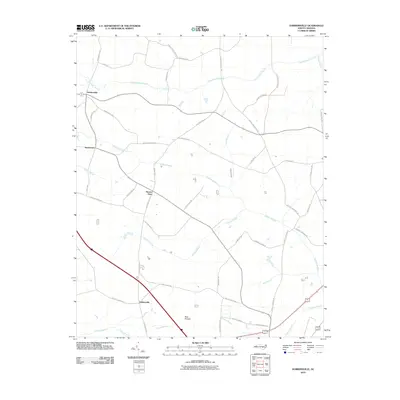 2010 Dobbersville2010 Print · USGSCovers Suttontown, including Dobbersville, Skeeter Point, and other nearby areas
 - 2013 Map of Dobbersville, 2013 Print
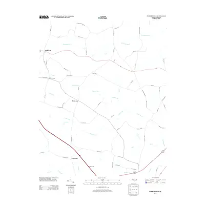 2013 Dobbersville2013 Print · USGSCovers Suttontown, including Dobbersville, Skeeter Point, and other nearby areas
 - 2016 Map of Dobbersville, 2016 Print
 2016 Dobbersville2016 Print · USGSCovers Suttontown, including Dobbersville, Skeeter Point, and other nearby areas
 - 2019 Map of Dobbersville, 2019 Print
 2019 Dobbersville2019 Print · USGSCovers Suttontown, including Dobbersville, Skeeter Point, and other nearby areas
 - 2022 Map of Dobbersville, 2022 Print
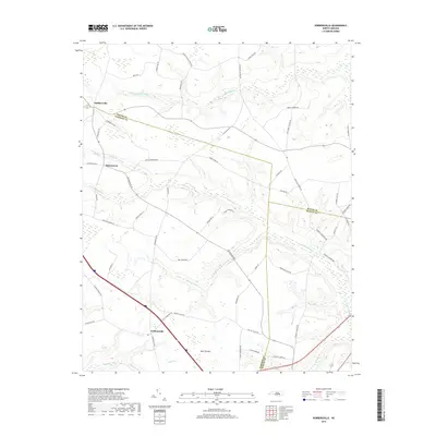
 2022 Dobbersville2022 Print · USGSSampson and Wayne County borderlands are mapped here in the early 2020s, showing a landscape defined by traditional agriculture and vast wetlands. Researchers can trace rural lineages through named crossroads like Dobbersville and Suttontown or locate family lands near Bear Pocosin and Goshen Swamp.
End of results
Showing maps 1-10 of 10
Top cities near Suttontown
- Goldsboro historical maps
- Clinton historical maps
- Mount Olive historical maps
- Warsaw historical maps
- Faison historical maps
- Newton Grove historical maps
See more
Frequently asked questions
- What are the different types of historical maps available for Suttontown?
- What is the oldest map of Suttontown?
- Where can I purchase historical maps of Suttontown for my home or office?
- Where can I download high-res historical maps of Suttontown?
- Are there historical topographic maps available for Suttontown?
- Is there historical aerial imagery available for Suttontown?
- Where are historical maps of Suttontown sourced from?