Old Maps of Amostown, North Carolina for Hiking & Exploration
Hike through history with 12 historic maps of Amostown. Explore old trails, ghost towns, and forgotten backroads — perfect for outdoor adventurers and local explorers.
- Rediscover forgotten places: Map out old mining camps, roads, and footpaths that no longer exist on modern maps.
- Layer with modern tools: Combine with LiDAR or satellite views to plan hikes through historical terrain.
- Made for exploration: Popular among hikers, overlanders, and local history lovers.
Use these maps to find adventure and explore the hidden past of Amostown.
Amostown, NC maps
(12)- 1926 Map of Critz
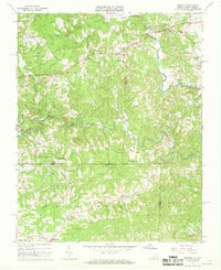
 1926 Critz1926 Print · USGSAcross the Virginia and North Carolina border in the mid-twenties, this mountain landscape reveals a self-sufficient network of mill seats and rural post offices. Researchers can trace family ties through dozens of landmarks like Blue Mountain School, Kogers Mill, and Patrick Springs Station.2 unique versions available
 - 1928 Map of Critz
 1928 Critz1928 Print · USGSPatrick and Henry Counties appear here in the late twenties, showing a transition from the Blue Ridge heights to a valley economy defined by the Danville and Western rail line. Genealogists can trace early homesteads and community hubs like Penns Store, Patrick Springs Station, and Smith Chapel.3 unique versions available
 - 1953 Map of Winston-Salem, 1974 Print
 1953 Winston-Salem1974 Print · USGSThe North Carolina Piedmont and Virginia highlands meet in the mid-1950s, a landscape defined by the tobacco and textile hubs of the Blue Ridge foothills. Researchers can trace the rail-and-river geography connecting Winston-Salem to mountain towns like Mount Airy and Galax.2 unique versions available
 - 1955 Map of Winston-Salem
 1955 Winston-Salem1955 Print · USGSThe Central Blue Ridge and Piedmont transition are captured here in the mid-fifties, from the industrial hub of Winston-Salem to the high peaks of Southwest Virginia. Genealogists can trace family landmarks like Richmond Hill Ch, Siloam Ch, and the old rail stops along the Southern Railway.
 - 1962 Map of Winston-Salem
 1962 Winston-Salem1962 Print · USGSThe North Carolina Piedmont meets the Virginia highlands in the early sixties, showing the rail corridors and mountain gaps of the southern Appalachians. Researchers can trace the Blue Ridge Parkway or locate family sites near Winston-Salem, Mount Airy, and Hanging Rock Mountain.
 - 1967 Map of Spencer, 1968 Print
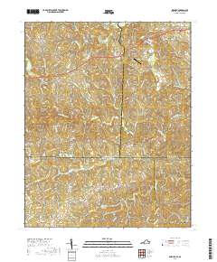
 1967 Spencer1968 Print · USGSThe Virginia and North Carolina state line runs through this rural landscape in the late sixties, centered on the winding Mayo River forks. Genealogists and local historians can locate community landmarks like Penns Store, Sheppards Mill, and the Spencer-Penn Sch.2 unique versions available
 - 1986 Map of Galax
 1986 Galax1986 Print · USGSThe Virginia and North Carolina borderlands are captured here in the mid-1980s as the region balanced mountain agriculture with new recreational tourism. Researchers can locate remote family landmarks and rural institutions, from Ferrum Jr College and Siloam Ch to the Pinnacles Powerplant and Archies Mill.2 unique versions available
 - 2010 Map of Spencer, 2010 Print
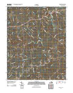 2010 Spencer2010 Print · USGSCovers Amostown, including Spencer, Craig, and other nearby areas
 - 2013 Map of Spencer, 2013 Print
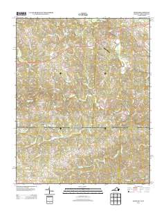 2013 Spencer2013 Print · USGSCovers Amostown, including Spencer, Craig, and other nearby areas
 - 2016 Map of Spencer, 2016 Print
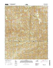 2016 Spencer2016 Print · USGSCovers Amostown, including Spencer, Craig, and other nearby areas
 - 2019 Map of Spencer, 2019 Print
 2019 Spencer2019 Print · USGSCovers Amostown, including Spencer, Craig, and other nearby areas
 - 2022 Map of Spencer, 2022 Print
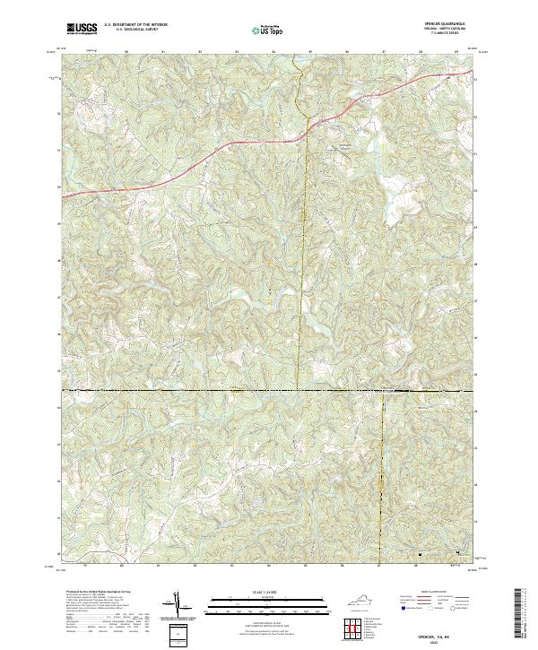 2022 Spencer2022 Print · USGSThe borderlands of Virginia and North Carolina are mapped here in the early twenty-first century, showing a landscape defined by the Mayo River forks. Genealogists and local historians can trace legacy routes like the Old Winston Salem Tpke and locate family sites such as Harris Cem and Tilleys Mill Pond.
End of results
Showing maps 1-12 of 12
Top cities near Amostown
- Martinsville historical maps
- Collinsville historical maps
- Mayodan historical maps
- Madison historical maps
- Walnut Cove historical maps
- Stanleytown historical maps
See more
Frequently asked questions
- What are the different types of historical maps available for Amostown?
- What is the oldest map of Amostown?
- Where can I purchase historical maps of Amostown for my home or office?
- Where can I download high-res historical maps of Amostown?
- Are there historical topographic maps available for Amostown?
- Is there historical aerial imagery available for Amostown?
- Where are historical maps of Amostown sourced from?