2000s (21st Century) Maps of Twenty Mile, North Carolina
Explore 6 historic maps of Twenty Mile from the 2000s (21st Century). These maps offer a rare glimpse into what life looked like during the 2000s — showing old roads, neighborhoods, homes, and landmarks that have changed or disappeared over time.
Whether you're researching your family's past, planning a metal detecting trip, or studying how Twenty Mile's landscape evolved across the 2000s, these high-resolution maps are a powerful tool for exploring the history of this region.
- Focus on a specific era: All maps on this page are from the 2000s, giving you a focused view of this time period.
- See what’s changed: Compare century-old streets, trails, and buildings to today's modern landscape using overlays and satellite layers.
- Research with precision: Use these maps for genealogy, historical research, land use analysis, or educational projects.
- View, download, or print: Maps are fully viewable online in high resolution, and can be downloaded or printed for your own records.
Start exploring Twenty Mile's history through authentic maps from the 2000s. This is your window into the past.
Twenty Mile, NC maps
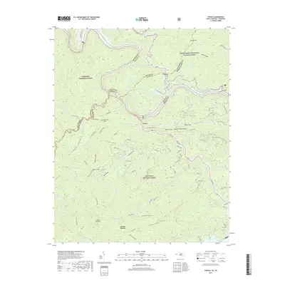
(6)- 2000 Map of Tapoco, 2001 Print
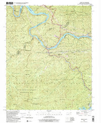 2000 Tapoco2001 Print · USGSThe North Carolina-Tennessee borderlands appear here just as the new millennium began, dominated by the dams and wilderness of the Great Smoky Mountains. Trace the routes of hydroelectric development at Che Oah Dam or find local landmarks like Bethel Ch and Beers Sch.
 - 2011 Map of Tapoco, 2011 Print
 2011 Tapoco2011 Print · USGSCovers Twenty Mile, including Tapoco, Jenkins Meadow, and other nearby areas
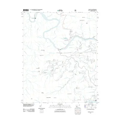
 - 2013 Map of Tapoco, 2013 Print
 2013 Tapoco2013 Print · USGSCovers Twenty Mile, including Tapoco, Jenkins Meadow, and other nearby areas
 - 2016 Map of Tapoco, 2016 Print
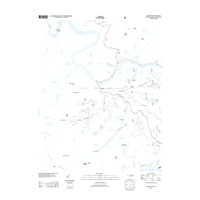
 2016 Tapoco2016 Print · USGSCovers Twenty Mile, including Tapoco, Jenkins Meadow, and other nearby areas
 - 2019 Map of Tapoco, 2019 Print
 2019 Tapoco2019 Print · USGSCovers Twenty Mile, including Tapoco, Jenkins Meadow, and other nearby areas
 - 2022 Map of Tapoco, 2022 Print
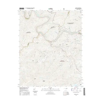
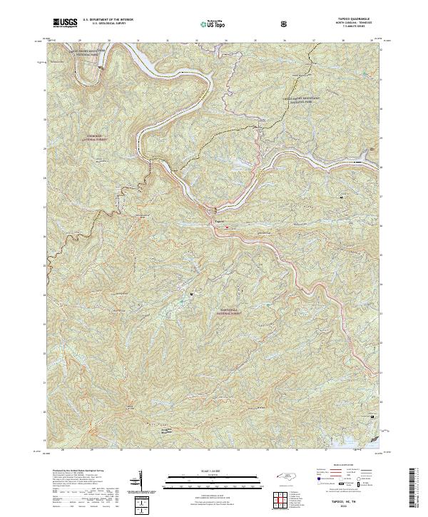 2022 Tapoco2022 Print · USGSThe North Carolina-Tennessee borderlands appear here in the early twenty-first century, centered on the river junction at Tapoco. Historians can trace old river crossings at Rhymers Ferry and local heritage sites like Farley Cem and the Mtn View School.
End of results
Showing maps 1-6 of 6
Top cities near Twenty Mile
- Robbinsville historical maps
- Townsend historical maps
- Lake Santeetlah historical maps
- Fontana Dam historical maps
Frequently asked questions
- What are the different types of historical maps available for Twenty Mile?
- What is the oldest map of Twenty Mile?
- Where can I purchase historical maps of Twenty Mile for my home or office?
- Where can I download high-res historical maps of Twenty Mile?
- Are there historical topographic maps available for Twenty Mile?
- Is there historical aerial imagery available for Twenty Mile?
- Where are historical maps of Twenty Mile sourced from?