Old Maps of Hamilton Crossroads, North Carolina for Metal Detecting
Plan your next treasure hunt with 11 historic maps of Hamilton Crossroads. Find old homesites, ghost towns, trails, and gathering spots that may be lost to time — perfect for identifying promising metal detecting locations.
- Locate forgotten sites: Uncover places like long-lost settlements, abandoned rail lines, or gathering spots.
- Plan better hunts: Use map overlays combined with LiDAR or satellite views to narrow in on historically rich areas.
- Made for detectorists: Thousands of hobbyists use these maps to discover relics, coins, and hidden history.
Use these historic maps to boost your research and find new opportunities beneath the surface of Hamilton Crossroads.
Hamilton Crossroads, NC maps
(11)- 1953 Map of Charlotte, 1968 Print
 1953 Charlotte1968 Print · USGSThe North Carolina Piedmont and South Carolina borderlands are shown in detail during a period of significant growth and reservoir development. Trace the rail corridors of the Southern Railway or find family roots in towns like China Grove, Misenheimer, and Lincolnton.3 unique versions available
 - 1954 Map of Charlotte
 1954 Charlotte1954 Print · USGSThe North Carolina Piedmont in the mid-1950s shows a region of rapid growth and industrial expansion centered around Charlotte. Trace the era's infrastructure through the Southern railroad lines and locate significant landmarks like the Charlotte Naval Ammunition Depot and Lake Norman.2 unique versions available
 - 1960 Map of Charlotte
 1960 Charlotte1960 Print · USGSMid-century North Carolina and South Carolina meet in this 1960 survey of the Piedmont's industrial and textile heartland. Trace the growth of Charlotte alongside historic landmarks like Kings Mountain National Military Park and the Charlotte Naval Ammunition Depot.2 unique versions available
 - 1962 Map of Charlotte
 1962 Charlotte1962 Print · USGSThe North Carolina Piedmont in the early sixties showcases a landscape transformed by massive reservoirs and industrial growth. Researchers can trace the development of Lake Norman, locate the Charlotte Naval Ammunition Depot, or find family landmarks like Wesley Chapel and Brown & Norcott Mills.
 - 1970 Map of Olive Branch, 1973 Print
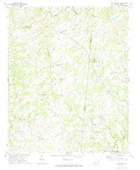 1970 Olive Branch1973 Print · USGSCrossing the border between Union and Anson counties in the early seventies, this area shows a landscape defined by small farming communities and winding creek branches. Researchers can locate family landmarks such as Baucoms Cem, Zion Crossroad Ch, and Rebel Hill.
 - 1985 Map of Charlotte, 1986 Print
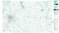 1985 Charlotte1986 Print · USGSThe Piedmont region in the mid-eighties shows the rapid growth of the Charlotte metro area alongside established textile and college towns. Trace local heritage at the Reed Gold Mine or explore the rail corridors of the Southern Railway and Winston-Salem Southbound Railway.2 unique versions available
 - 2010 Map of Olive Branch, 2010 Print
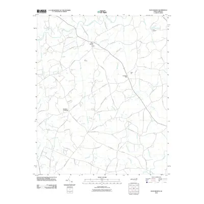 2010 Olive Branch2010 Print · USGSThis rural portion of Anson County at the start of the 2010s reveals a landscape defined by historic crossroads and creek-side settlements. Genealogists can locate family landmarks such as Baucoms Cemetery or trace old routes like Old Goldmine Rd and Jerusalem Church Rd.
 - 2013 Map of Olive Branch, 2013 Print
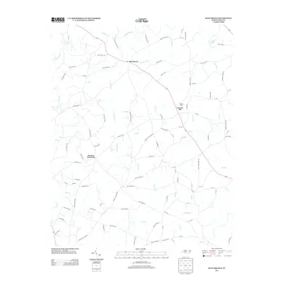 2013 Olive Branch2013 Print · USGSWestern Anson County remains a landscape of traditional crossroads and winding creek branches in the early twenty-first century. Researchers can map out ancestral land near Olive Branch and Hamilton Crossroads or trace the many tributaries of Richardson Cr.
 - 2016 Map of Olive Branch, 2016 Print
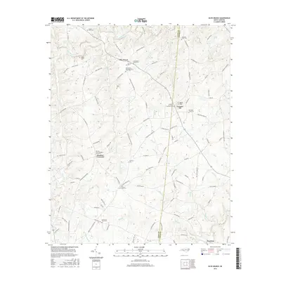 2016 Olive Branch2016 Print · USGSThe Union and Anson county borderlands come into focus in the mid-2010s, showing a landscape shaped by rural churches and ancestral burial grounds. Genealogists can trace family names at Baucom Family Cem, Carpenter Cem, and Hamilton Crossroads.
 - 2019 Map of Olive Branch, 2019 Print
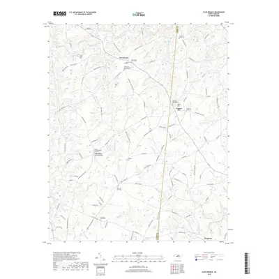 2019 Olive Branch2019 Print · USGSThe borderlands of Union and Anson counties come to life in this detailed view of a rural Piedmont landscape. Genealogists and local historians can trace family ties through several churchyards including Fountain Hill United Methodist Cem and the Union Grove Church Cem.
 - 2022 Map of Olive Branch, 2022 Print
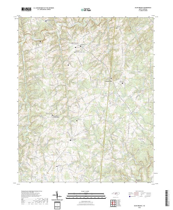 2022 Olive Branch2022 Print · USGSThe rural borderlands of Union and Anson counties are captured here in the early twenty-first century. Genealogists can trace family heritage through landmarks like Baucom Family Cem, Rebel Hill, and the historic Zion Crossroads Church.
End of results
Showing maps 1-11 of 11
Top cities near Hamilton Crossroads
- Monroe historical maps
- Unionville historical maps
- Wadesboro historical maps
- Fairview historical maps
- Midland historical maps
- Wingate historical maps
See more
Frequently asked questions
- What are the different types of historical maps available for Hamilton Crossroads?
- What is the oldest map of Hamilton Crossroads?
- Where can I purchase historical maps of Hamilton Crossroads for my home or office?
- Where can I download high-res historical maps of Hamilton Crossroads?
- Are there historical topographic maps available for Hamilton Crossroads?
- Is there historical aerial imagery available for Hamilton Crossroads?
- Where are historical maps of Hamilton Crossroads sourced from?