Old Maps of Weddington, North Carolina for Genealogy
Trace your family roots with 39 historic maps of Weddington. These high-res maps reveal old neighborhoods, homesites, landmarks, and streets — helping you uncover where your ancestors lived and how the area evolved over time.
- Explore historic neighborhoods: Identify where your relatives may have lived in the 1800s or 1900s.
- Compare maps over time: Trace the changes in streets, buildings, and landmarks for multi-generational research.
- Perfect for genealogy & ancestry research: Used by family historians and researchers to map out lineage and migration.
These maps are an incredible resource for exploring your personal connection to Weddington's past.
Weddington, NC maps
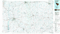
(39)- 1905 Map of Charlotte
 1905 Charlotte1905 Print · USGSMecklenburg County at the start of the twentieth century shows a region connected by the early Southern Railway and a burgeoning city center. Genealogists can trace family roots through numerous rural landmarks like McClintock Church, Pineville, and Shopton.2 unique versions available
 - 1907 Map of Charlotte
 1907 Charlotte1907 Print · USGSGreater Charlotte was a bustling rail and textile corridor at the dawn of the twentieth century, bridging the two Carolinas. Genealogists can locate old family landmarks like Sutton School and Steel Creek Church or trace the early growth of Dilworth.4 unique versions available
 - 1941 Map of Charlotte
 1941 Charlotte1941 Print · USGSMecklenburg and its surrounding counties are captured here at a pivotal moment in the early 1940s. Genealogists and local historians can trace the rail-driven growth of Charlotte or locate smaller rural landmarks like Alexanders Store, Wesley Chapel, and the community at Stallings.
 - 1941 Map of Spartanburg
 1941 Spartanburg1941 Print · USGSSouth Carolina’s Piedmont and Sandhills regions are shown here during the mid-century peak of the rail era. Researchers can trace the sprawling Fort Jackson Military Reservation and the industrial growth of hubs like Spartanburg and Rock Hill.
 - 1942 Map of Charlotte
 1942 Charlotte1942 Print · USGSCharlotte and its surrounding Piedmont communities are captured here during the early years of the Second World War. Researchers can trace the rail corridors of the Southern and Seaboard Air Line or locate family-named sites like Alexanders Store, Hoods Cross Road, and Wesley Chapel.2 unique versions available
 - 1953 Map of Spartanburg, 1966 Print
 1953 Spartanburg1966 Print · USGSMid-century South Carolina comes into focus through this survey of the Piedmont and the Sand Hills at a time of significant reservoir expansion. Researchers can trace the legacy of industrial transit and resource extraction from the Haile Gold Mine to the rail hubs of the Seaboard Air Line.4 unique versions available
 - 1953 Map of Charlotte, 1968 Print
 1953 Charlotte1968 Print · USGSThe North Carolina Piedmont and South Carolina borderlands are shown in detail during a period of significant growth and reservoir development. Trace the rail corridors of the Southern Railway or find family roots in towns like China Grove, Misenheimer, and Lincolnton.3 unique versions available
 - 1954 Map of Charlotte
 1954 Charlotte1954 Print · USGSThe North Carolina Piedmont in the mid-1950s shows a region of rapid growth and industrial expansion centered around Charlotte. Trace the era's infrastructure through the Southern railroad lines and locate significant landmarks like the Charlotte Naval Ammunition Depot and Lake Norman.2 unique versions available
 - 1960 Map of Charlotte
 1960 Charlotte1960 Print · USGSMid-century North Carolina and South Carolina meet in this 1960 survey of the Piedmont's industrial and textile heartland. Trace the growth of Charlotte alongside historic landmarks like Kings Mountain National Military Park and the Charlotte Naval Ammunition Depot.2 unique versions available
 - 1960 Map of Spartanburg
 1960 Spartanburg1960 Print · USGSThe South Carolina Piedmont and North Carolina borderlands come alive in this mid-century survey of the region between Spartanburg and Columbia. Researchers can trace the Seaboard Air Line railroad and explore landmarks like Anderson Quarry, Lake Murray, and Mount Croghan.2 unique versions available
 - 1962 Map of Charlotte
 1962 Charlotte1962 Print · USGSThe North Carolina Piedmont in the early sixties showcases a landscape transformed by massive reservoirs and industrial growth. Researchers can trace the development of Lake Norman, locate the Charlotte Naval Ammunition Depot, or find family landmarks like Wesley Chapel and Brown & Norcott Mills.
 - 1963 Map of Spartanburg
 1963 Spartanburg1963 Print · USGSMid-century South Carolina comes alive in this survey, showing the rail-linked corridor between the Upstate and the Midlands. Genealogists can trace family lands near old hubs like Union and Lancaster, or along the banks of the Broad River and Pee Dee River.
 - 1964 Map of Spartanburg
 1964 Spartanburg1964 Print · USGSMid-century South Carolina comes alive in this survey of the Piedmont and Upcountry, stretching from the Blue Ridge foothills to the Sandhills. Genealogists and historians can trace the rail-and-river economy through Monarch Mills, Glenn Springs, and the Southern Railway corridor.
 - 1968 Map of Catawba NE, 1970 Print
 1968 Catawba NE1970 Print · USGSThe Carolina borderlands north of Lancaster come into focus in the late sixties, showing a landscape of rural school districts and crossroads churches. Genealogists can trace family footprints near Indian Land High Sch, Steel Hill Ch, and along the Seaboard Coast Line.4 unique versions available
 - 1968 Map of Weddington, 1970 Print
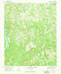
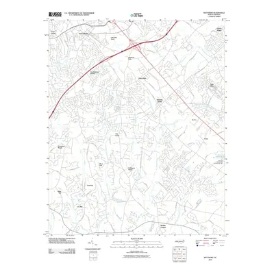
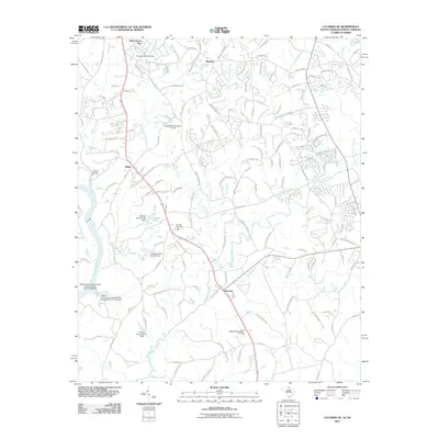
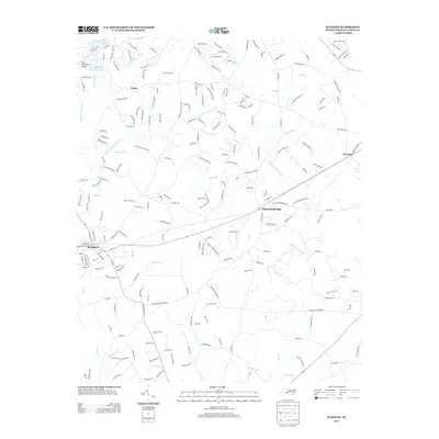
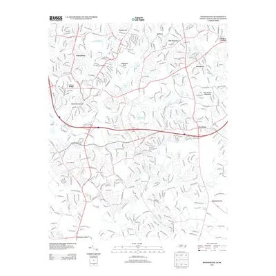
 1968 Weddington1970 Print · USGSThe borderlands of Mecklenburg and Union counties are captured in the late sixties as suburban expansion begins to reach rural crossroads. Genealogists and local historians can trace legacy sites like Providence Ch, Weddington, and the early development of Olde Providence.4 unique versions available
 - 1970 Map of Waxhaw, 1973 Print
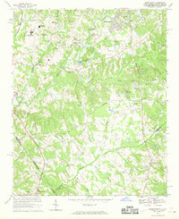
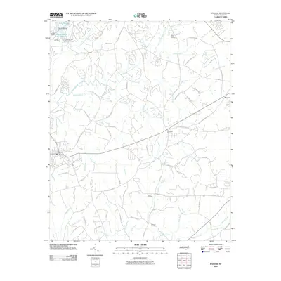
 1970 Waxhaw1973 Print · USGSUnion County, North Carolina, appears here in the early 1970s as a rural landscape shaped by the rail line and a dense network of creeks. Researchers can locate several community landmarks including Western Union School, Liberty Hill Church, and the Old Railroad Grade.3 unique versions available
 - 1971 Map of Matthews, 1973 Print
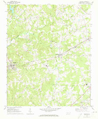
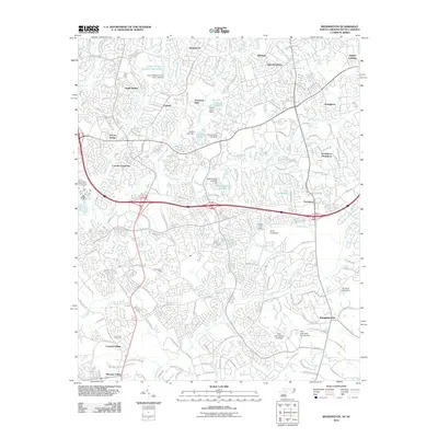
 1971 Matthews1973 Print · USGSSoutheast of Charlotte in the early 1970s, the rail-oriented communities of Union Co and Mecklenburg Co are caught in a moment of rapid suburban expansion. Local historians can trace old family church locations like Hudson Grove Ch and Maple Grove Ch alongside the busy Seaboard Coast Line.3 unique versions available
 - 1985 Map of Charlotte, 1986 Print
 1985 Charlotte1986 Print · USGSThe Piedmont region in the mid-eighties shows the rapid growth of the Charlotte metro area alongside established textile and college towns. Trace local heritage at the Reed Gold Mine or explore the rail corridors of the Southern Railway and Winston-Salem Southbound Railway.2 unique versions available
 - 1986 Map of Lancaster
 1986 Lancaster1986 Print · USGSThe Carolina borderlands are captured in the mid-1980s as a thriving corridor of rail towns and diverse geography. Researchers can trace the region's heritage through landmarks like Forty Acre Rock, the Southern RR line, and rural sites such as Heath Springs Church.2 unique versions available
 - 2010 Map of Matthews, 2010 Print
 2010 Matthews2010 Print · USGSCovers Weddington, including Charlotte, Monroe, and other nearby areas
 - 2010 Map of Waxhaw, 2010 Print
 2010 Waxhaw2010 Print · USGSCovers Weddington, including Waxhaw, Wesley Chapel, and other nearby areas
 - 2011 Map of Weddington, 2011 Print
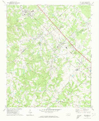
 2011 Weddington2011 Print · USGSCovers Weddington, including Charlotte, Matthews, and other nearby areas
 - 2011 Map of Catawba NE, 2011 Print
 2011 Catawba NE2011 Print · USGSCovers Weddington, including Waxhaw, Marvin, and other nearby areas
 - 2013 Map of Waxhaw, 2013 Print
 2013 Waxhaw2013 Print · USGSCovers Weddington, including Waxhaw, Wesley Chapel, and other nearby areas
 - 2013 Map of Weddington, 2013 Print
 2013 Weddington2013 Print · USGSCovers Weddington, including Charlotte, Matthews, and other nearby areas
Showing maps 1-25 of 39
Top cities near Weddington
- Charlotte historical maps
- Rock Hill historical maps
- Monroe historical maps
- Matthews historical maps
- Fort Mill historical maps
- Indian Land historical maps
See more
Frequently asked questions
- What are the different types of historical maps available for Weddington?
- What is the oldest map of Weddington?
- Where can I purchase historical maps of Weddington for my home or office?
- Where can I download high-res historical maps of Weddington?
- Are there historical topographic maps available for Weddington?
- Is there historical aerial imagery available for Weddington?
- Where are historical maps of Weddington sourced from?