2020s Maps of Vance County, North Carolina
Explore 12 historic maps of Vance County from the 2020s. These maps offer a rare glimpse into what life looked like during the 2020s — showing old roads, neighborhoods, homes, and landmarks that have changed or disappeared over time.
Whether you're researching your family's past, planning a metal detecting trip, or studying how Vance County's landscape evolved across the 2020s, these high-resolution maps are a powerful tool for exploring the history of this region.
- Focus on a specific era: All maps on this page are from the 2020s, giving you a focused view of this time period.
- See what’s changed: Compare century-old streets, trails, and buildings to today's modern landscape using overlays and satellite layers.
- Research with precision: Use these maps for genealogy, historical research, land use analysis, or educational projects.
- View, download, or print: Maps are fully viewable online in high resolution, and can be downloaded or printed for your own records.
Start exploring Vance County's history through authentic maps from the 2020s. This is your window into the past.
Vance County, NC maps
(12)- 2022 Map of Oxford, 2022 Print
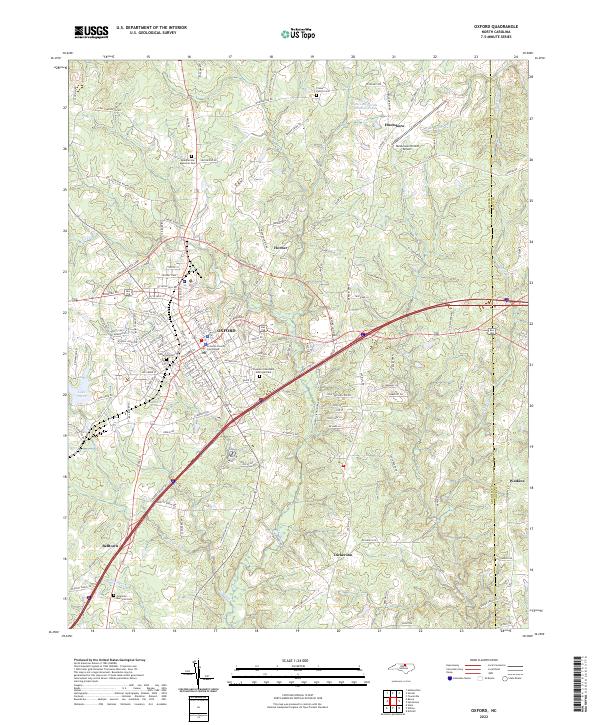 2022 Oxford2022 Print · USGSOxford and its surrounding Granville County communities appear here in fine detail during the early 2020s. Genealogists and local historians can trace the town grid from the Granville County Courthouse out to rural landmarks like Crews Family Cem and Elmwood Cem.
 - 2022 Map of Ingleside, 2022 Print
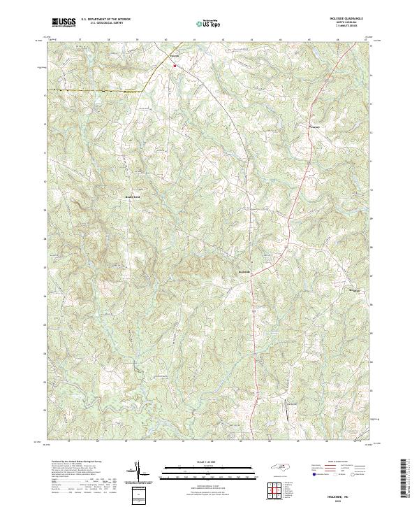 2022 Ingleside2022 Print · USGSThe Vance and Franklin county borderlands are shown here in recent years, centered on the community of Ingleside. Researchers can trace family-named landmarks like Joe Ayscue Rd and Tippett Finch Way alongside the waters of the Tar River.
 - 2022 Map of Wilton, 2022 Print
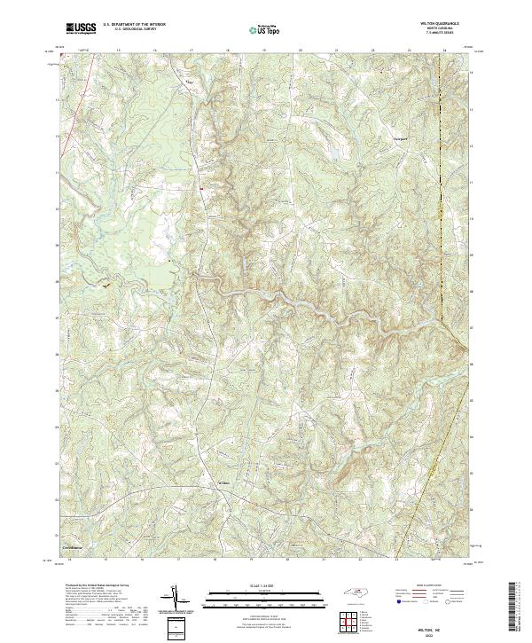 2022 Wilton2022 Print · USGSGranville County at the start of the 2020s shows a landscape woven with historic road networks and winding waterways. Genealogists and researchers can trace local routes like Old Franklinton Rd and locate settlements at Wilton, Clay, and Fairport.
 - 2022 Map of Henderson, 2022 Print
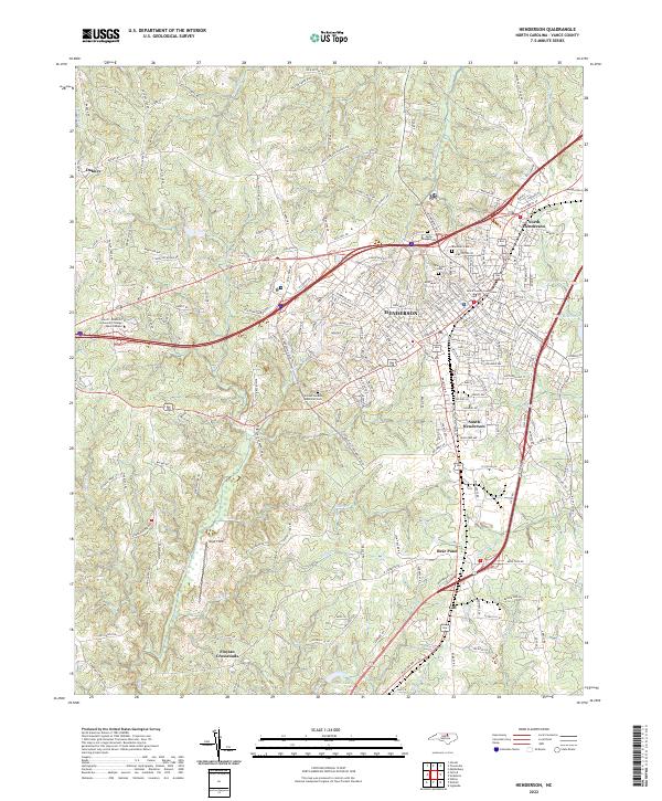 2022 Henderson2022 Print · USGSHenderson and its surrounding Vance County communities are shown in fine detail during the early 2020s as the area continues to evolve around its traditional core. Researchers can locate family sites and landmarks like the Vance County Courthouse, Blacknall Cem, and the outlying Floytan Crossroads.
 - 2022 Map of Kittrell, 2022 Print
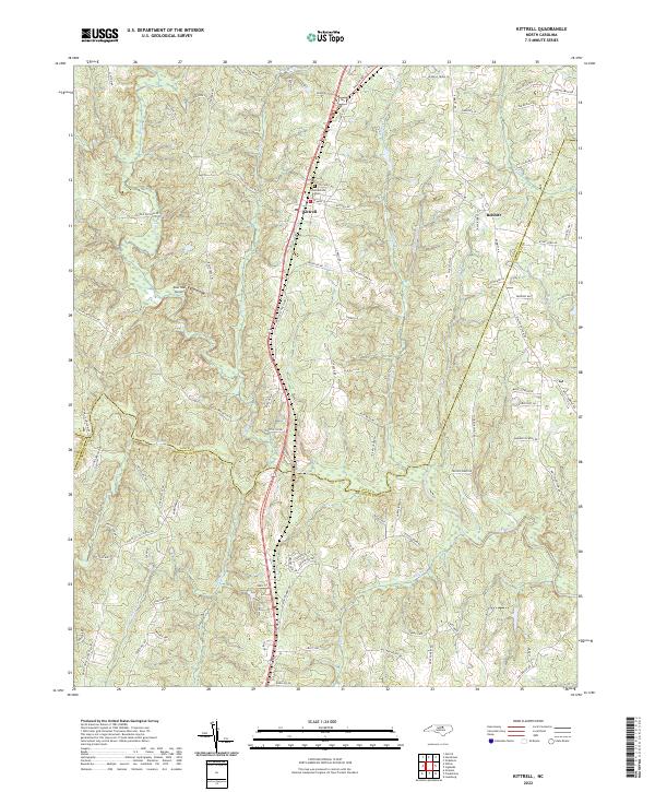 2022 Kittrell2022 Print · USGSThe borderlands of Vance and Franklin counties are captured here in the early twenty-first century as the CSX railroad continues to shape the local geography. Researchers can trace family-named landmarks and historical sites like the Confederate Cem and the community of Bobbitt.
 - 2022 Map of Tungsten, 2022 Print
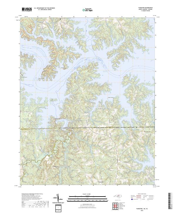 2022 Tungsten2022 Print · USGSThe North Carolina-Virginia borderlands are captured here in the early twenty-first century, centered on the expansive waters of the John H. Kerr Reservoir. Researchers can trace local history through the settlement of Tungsten, the Fields Cem, and the rural community of Woodworth.
 - 2022 Map of Middleburg, 2022 Print
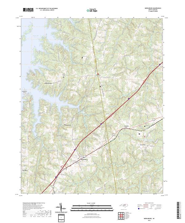 2022 Middleburg2022 Print · USGSThe North Carolina borderlands at the edge of the John H. Kerr Reservoir appear here in their modern context. Researchers can trace the development of Soul City or find family history at Oak Level Cem, Mount Pleasant Ch, and the rail stops at Middleburg and Manson.
 - 2022 Map of Townsville, 2022 Print
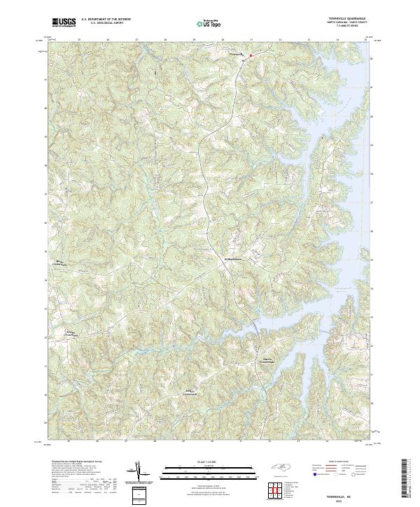 2022 Townsville2022 Print · USGSVance County’s lakeside landscape and historic rural junctions are shown here in the contemporary era. Researchers can trace the legacy of old plantations and industry through labels like Pool Rock Plantation Ln, Tungsten Mine Rd, and the settlement at Williamsboro.
 - 2022 Map of Stovall, 2022 Print
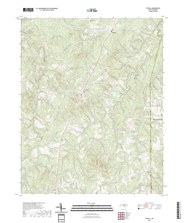 2022 Stovall2022 Print · USGSGranville County at the dawn of the 2020s remains a landscape of quiet crossroads and historic family sites along the Virginia border. Researchers can pinpoint John Penns Grave and trace the rural reaches of Stovall and Hicks Crossroads via a dense network of local roads.
 - 2022 Map of Vicksboro, 2022 Print
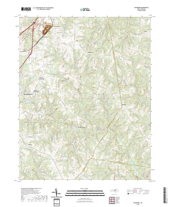 2022 Vicksboro2022 Print · USGSVance County’s rural crossroads and historic settlements come into focus in this recent survey of the North Carolina Piedmont. Researchers can trace family-named sites and rural hubs like Weldons Mill, Adcock Crossroads, and the community of Vicksboro.
 - 2022 Map of Clarksville South, 2022 Print
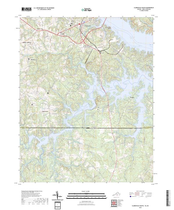 2022 Clarksville South2022 Print · USGSMecklenburg County, Virginia, and Granville County, North Carolina, meet along the sprawling fingers of the John H. Kerr Reservoir in this modern survey. Genealogists can trace family footprints across several rural burial grounds, including State Line Cem, Chandler Cem, and Union Chapel Cem.
 - 2022 Map of John H Kerr Dam, 2022 Print
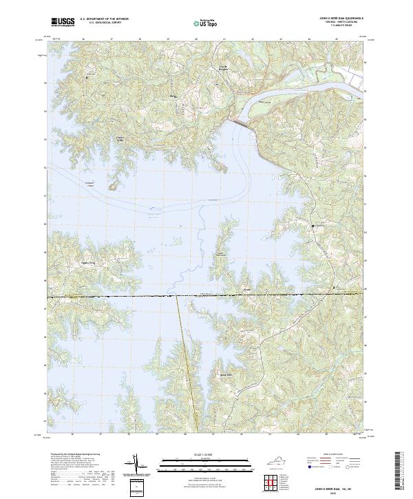 2022 John H Kerr Dam2022 Print · USGSThe Roanoke River basin at the Virginia and North Carolina border is defined here by the massive waters of the John H. Kerr Reservoir. Genealogists and local historians can trace family roots through Shiloh Cem and Bethesda Cem or locate homes in Cusco Willa and Keats.
End of results
Showing maps 1-12 of 12
Top cities of Vance County
Frequently asked questions
- What are the different types of historical maps available for Vance County?
- What is the oldest map of Vance County?
- Where can I purchase historical maps of Vance County for my home or office?
- Where can I download high-res historical maps of Vance County?
- Are there historical topographic maps available for Vance County?
- Is there historical aerial imagery available for Vance County?
- Where are historical maps of Vance County sourced from?