Old Maps of Watkins, North Carolina for Hiking & Exploration
Hike through history with 14 historic maps of Watkins. Explore old trails, ghost towns, and forgotten backroads — perfect for outdoor adventurers and local explorers.
- Rediscover forgotten places: Map out old mining camps, roads, and footpaths that no longer exist on modern maps.
- Layer with modern tools: Combine with LiDAR or satellite views to plan hikes through historical terrain.
- Made for exploration: Popular among hikers, overlanders, and local history lovers.
Use these maps to find adventure and explore the hidden past of Watkins.
Watkins, NC maps
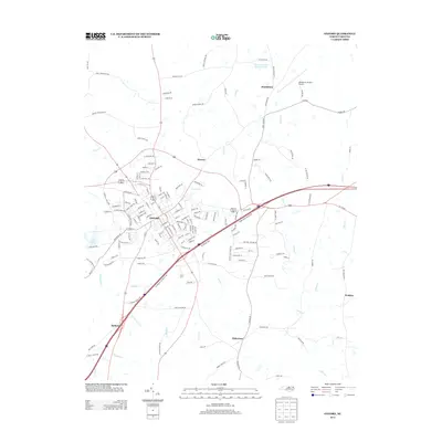
(14)- 1953 Map of Oxford
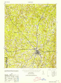 1953 Oxford1953 Print · USGSGranville County during the mid-century shows a landscape of busy rail junctions and rural tobacco-country crossroads. Genealogists can trace family landmarks like John Penns Grave, Wilbourns Store, and the scattered schoolhouses of Huntsboro and Stovall.2 unique versions available
 - 1953 Map of Greensboro, 1981 Print
 1953 Greensboro1981 Print · USGSThe Piedmont borderlands of North Carolina and Virginia show a landscape defined by new reservoirs and old rail lines. Trace family roots and the changing river geography through Elon College, the John H Kerr Reservoir, and South Boston.
 - 1954 Map of Greensboro
 1954 Greensboro1954 Print · USGSThe Piedmont borderlands of North Carolina and Virginia come alive in this mid-fifties study of a region defined by its rivers and rails. Researchers can trace the growing Buggs Island Lake or follow the paths of the Southern Ry and Seaboard Air Line RR through towns like Oxford and Reidsville.
 - 1962 Map of Greensboro
 1962 Greensboro1962 Print · USGSThe Piedmont region along the Virginia and North Carolina border comes alive in the early 1960s, showing a landscape defined by industry and new reservoirs. Trace the path of the Virginian RR or explore the early development of Greensboro and Durham.
 - 1966 Map of Greensboro
 1966 Greensboro1966 Print · USGSThe North Carolina and Virginia Piedmont thrives during the mid-sixties, showcasing a landscape of textile hubs and expanding river reservoirs. Researchers can trace the rail corridors of the Southern Railway, find local landmarks like Elon College, or locate the extensive Camp Butner Military Reservation.
 - 1966 Map of Oxford
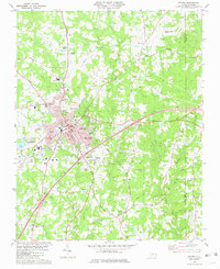
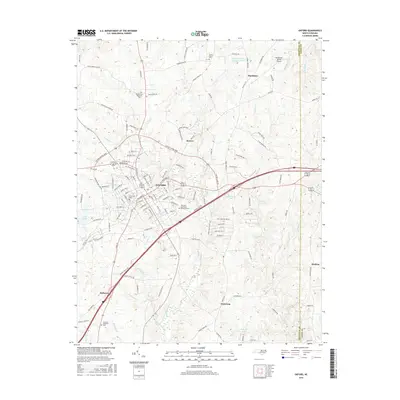
 1966 Oxford1966 Print · USGSGranville County at mid-century shows a landscape shaped by rural commerce and the intersection of the Southern Railway and Seaboard Railroad. Genealogists can locate family landmarks such as Wilbourns Store, Knotts Grove Ch, and Joe Tolers Sch.
 - 1981 Map of Oxford
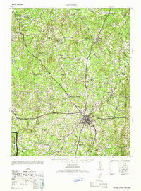
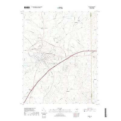
 1981 Oxford1981 Print · USGSOxford and its surrounding Granville County countryside are captured here in the early eighties as a rail-centered community. Researchers can locate family landmarks like Elmwood Cemetery, the Central Orphanage, and small communities like Huntsboro and Dickerson.2 unique versions available
 - 1984 Map of Henderson, 1985 Print
 1984 Henderson1985 Print · USGSNorth Carolina’s northern Piedmont comes into focus in the mid-1980s, centered on the crossroads of Henderson and Oxford. Genealogists and historians can trace the paths of the Southern railroad or locate communities near the Camp Butner National Guard Range and John H. Kerr Reservoir.
 - 1991 Map of Henderson
 1991 Henderson1991 Print · USGSThe northern Piedmont and Virginia borderlands come into focus in the early nineties, showing a landscape defined by major reservoirs and growing towns. Trace the rail-and-road connections between Oxford, Henderson, and Durham while exploring the developing shores of Falls Lake.2 unique versions available
 - 2010 Map of Oxford, 2010 Print
 2010 Oxford2010 Print · USGSCovers Watkins, including Oxford, Dickerson, and other nearby areas
 - 2013 Map of Oxford, 2013 Print
 2013 Oxford2013 Print · USGSCovers Watkins, including Oxford, Dickerson, and other nearby areas
 - 2016 Map of Oxford, 2016 Print
 2016 Oxford2016 Print · USGSCovers Watkins, including Oxford, Dickerson, and other nearby areas
 - 2019 Map of Oxford, 2019 Print
 2019 Oxford2019 Print · USGSCovers Watkins, including Oxford, Dickerson, and other nearby areas
 - 2022 Map of Oxford, 2022 Print
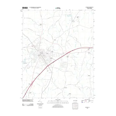
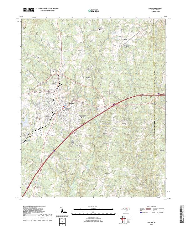 2022 Oxford2022 Print · USGSOxford and its surrounding Granville County communities appear here in fine detail during the early 2020s. Genealogists and local historians can trace the town grid from the Granville County Courthouse out to rural landmarks like Crews Family Cem and Elmwood Cem.
End of results
Showing maps 1-14 of 14
Top cities near Watkins
- Henderson historical maps
- Oxford historical maps
- Butner historical maps
- Louisburg historical maps
- Creedmoor historical maps
- Franklinton historical maps
See more
Frequently asked questions
- What are the different types of historical maps available for Watkins?
- What is the oldest map of Watkins?
- Where can I purchase historical maps of Watkins for my home or office?
- Where can I download high-res historical maps of Watkins?
- Are there historical topographic maps available for Watkins?
- Is there historical aerial imagery available for Watkins?
- Where are historical maps of Watkins sourced from?