Old Maps of Ada J. Mims Estate, North Carolina for Metal Detecting
Plan your next treasure hunt with 12 historic maps of Ada J. Mims Estate. Find old homesites, ghost towns, trails, and gathering spots that may be lost to time — perfect for identifying promising metal detecting locations.
- Locate forgotten sites: Uncover places like long-lost settlements, abandoned rail lines, or gathering spots.
- Plan better hunts: Use map overlays combined with LiDAR or satellite views to narrow in on historically rich areas.
- Made for detectorists: Thousands of hobbyists use these maps to discover relics, coins, and hidden history.
Use these historic maps to boost your research and find new opportunities beneath the surface of Ada J. Mims Estate.
Ada J. Mims Estate, NC maps
(12)- 1953 Map of Raleigh, 1965 Print
 1953 Raleigh1965 Print · USGSCentral North Carolina in the early sixties shows a landscape of growing towns and military hubs before the full expansion of the interstate system. Genealogists can trace family footprints across the Piedmont through Wake Forest, Siler City, and the large Fort Bragg Military Reservation.4 unique versions available
 - 1954 Map of Raleigh
 1954 Raleigh1954 Print · USGSThe North Carolina Piedmont and Sandhills are captured in the mid-fifties during a period of steady regional growth. Genealogists and historians can trace the development of towns like Siler City or locate landmarks such as Falls of Neuse and Camp Mackall.
 - 1974 Map of New Hill, 1977 Print
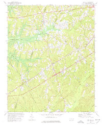 1974 New Hill1977 Print · USGSWake County was undergoing significant landscape changes in the 1970s as new water projects and rail lines intersected. Genealogists and local historians can trace family locations near Olive Chapel, Friendship, and the Pleasant Plains Sch before the rising waters of B Everett Jordan Lake altered the terrain.4 unique versions available
 - 1984 Map of Raleigh, 1985 Print
 1984 Raleigh1985 Print · USGSThe North Carolina Research Triangle is shown during a decade of rapid growth, from the sprawl of Raleigh to the expanding waters of Falls Lake. Genealogists and historians can trace rail lines like the Seaboard Coast Line or locate landmark sites like Dorothea Dix State Hospital and Fuquay-Varina.
 - 1990 Map of Raleigh, 1991 Print
 1990 Raleigh1991 Print · USGSGreater Raleigh and the Research Triangle entered a period of significant suburban growth during the 1990s. Researchers can trace the development of towns like Fuquay-Varina and Wake Forest or locate landmarks such as the State Prison and Harris Reservoir.2 unique versions available
 - 1993 Map of New Hill, 1999 Print
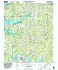 1993 New Hill1999 Print · USGSWake and Chatham counties are shown during a period of transition in the early nineties, as large reservoirs reshaped the traditional rural landscape. Researchers can trace historic communities like Bonsal and Friendship alongside landmarks like Olive Chapel and the Power Plant.
 - 2002 Map of New Hill, 2004 Print
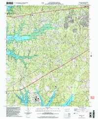 2002 New Hill2004 Print · USGSThe borderlands of Wake and Chatham counties come into focus at the start of the 2000s, showing a region shaped by utility reservoirs and growing small towns. Researchers can trace the legacy of community hubs like New Hill and Bonsal alongside early landmarks such as Olive Chapel Sch and the Power Plant.
 - 2010 Map of New Hill, 2010 Print
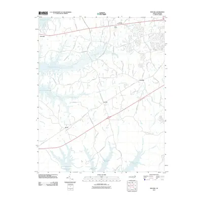 2010 New Hill2010 Print · USGSWestern Wake County at the turn of the millennium shows a landscape transformed by large-scale water management projects. Genealogists and local historians can trace family-named roads and established communities like New Hill, Bonsal, and Friendship between the shores of Shearon Harris Reservoir and B Everett Jordan Lake.
 - 2013 Map of New Hill, 2013 Print
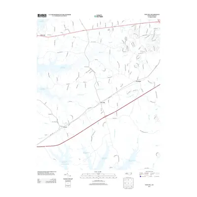 2013 New Hill2013 Print · USGSThe Piedmont landscape of southwestern Wake County is captured here in the early 2010s. Trace the shorelines of Shearon Harris Reservoir and B Everett Jordan Lake or locate old settlements like New Hill and Bonsal.
 - 2016 Map of New Hill, 2016 Print
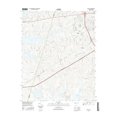 2016 New Hill2016 Print · USGSWestern Wake County during this mid-2010s period shows the expansion of residential neighborhoods into the rural landscapes of New Hill and Bonsal. Researchers can trace the proximity of Deck Airpark to the massive Shearon Harris Reservoir and the growing street networks of Apex.
 - 2019 Map of New Hill, 2019 Print
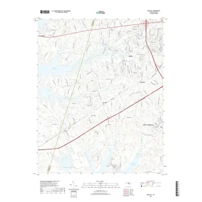 2019 New Hill2019 Print · USGSThe transition between Wake and Chatham counties in the late 2010s shows a landscape of growing towns and massive reservoirs. Researchers can trace family-named roads near New Hill and Bonsal or explore the vast reach of the Shearon Harris Reservoir.
 - 2022 Map of New Hill, 2022 Print
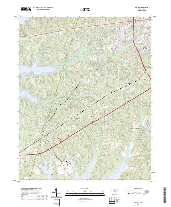 2022 New Hill2022 Print · USGSWake County's southwestern landscapes are shown here in the contemporary era as growing communities meet the shores of the reservoir. Researchers can trace the development of New Hill and Bonsal or locate landmarks like Deck Airpark and B Everett Jordan Lake.
End of results
Showing maps 1-12 of 12
Frequently asked questions
- What are the different types of historical maps available for Ada J. Mims Estate?
- What is the oldest map of Ada J. Mims Estate?
- Where can I purchase historical maps of Ada J. Mims Estate for my home or office?
- Where can I download high-res historical maps of Ada J. Mims Estate?
- Are there historical topographic maps available for Ada J. Mims Estate?
- Is there historical aerial imagery available for Ada J. Mims Estate?
- Where are historical maps of Ada J. Mims Estate sourced from?