Old Maps of Jefferson Hill, North Carolina for Metal Detecting
Plan your next treasure hunt with 19 historic maps of Jefferson Hill. Find old homesites, ghost towns, trails, and gathering spots that may be lost to time — perfect for identifying promising metal detecting locations.
- Locate forgotten sites: Uncover places like long-lost settlements, abandoned rail lines, or gathering spots.
- Plan better hunts: Use map overlays combined with LiDAR or satellite views to narrow in on historically rich areas.
- Made for detectorists: Thousands of hobbyists use these maps to discover relics, coins, and hidden history.
Use these historic maps to boost your research and find new opportunities beneath the surface of Jefferson Hill.
Jefferson Hill, NC maps
(19)- 1953 Map of Raleigh, 1965 Print
 1953 Raleigh1965 Print · USGSCentral North Carolina in the early sixties shows a landscape of growing towns and military hubs before the full expansion of the interstate system. Genealogists can trace family footprints across the Piedmont through Wake Forest, Siler City, and the large Fort Bragg Military Reservation.4 unique versions available
 - 1954 Map of Raleigh
 1954 Raleigh1954 Print · USGSThe North Carolina Piedmont and Sandhills are captured in the mid-fifties during a period of steady regional growth. Genealogists and historians can trace the development of towns like Siler City or locate landmarks such as Falls of Neuse and Camp Mackall.
 - 1964 Map of Angier, 1965 Print
 1964 Angier1965 Print · USGSAngier and the surrounding tobacco-farming country appear here in the mid-1960s at the junction of three counties. Genealogists and researchers can trace local family roots through numerous cemeteries and country churches like St Ann Ch, Fellowship Ch, and Ogburn Crossroads.3 unique versions available
 - 1964 Map of Edmondson, 1965 Print
 1964 Edmondson1965 Print · USGSJohnston County in the early sixties was a landscape of crossroads communities and family-run mills. Genealogists can locate specific family landmarks such as Penny Cem, trace the waters near McGee Mill, and find vanished gathering spots like Drug Store.3 unique versions available
 - 1964 Map of Garner, 1965 Print
 1964 Garner1965 Print · USGSThe rural landscapes south of Raleigh were transitioning from farm to suburb in the mid-sixties. Researchers can trace family roots at numerous country churches like Wooten Chapel Ch or locate sites such as McCullers, Willow Springs, and the historic McGee Mill.
 - 1984 Map of Raleigh, 1985 Print
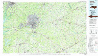 1984 Raleigh1985 Print · USGSThe North Carolina Research Triangle is shown during a decade of rapid growth, from the sprawl of Raleigh to the expanding waters of Falls Lake. Genealogists and historians can trace rail lines like the Seaboard Coast Line or locate landmark sites like Dorothea Dix State Hospital and Fuquay-Varina.
 - 1990 Map of Raleigh, 1991 Print
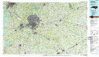 1990 Raleigh1991 Print · USGSGreater Raleigh and the Research Triangle entered a period of significant suburban growth during the 1990s. Researchers can trace the development of towns like Fuquay-Varina and Wake Forest or locate landmarks such as the State Prison and Harris Reservoir.2 unique versions available
 - 1993 Map of Angier, 1998 Print
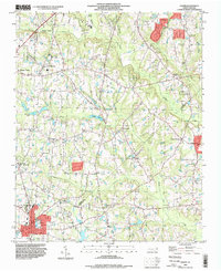 1993 Angier1998 Print · USGSThe borderlands of Wake, Johnston, and Harnett counties are shown here in the 1990s as the area transition toward modern growth. Genealogists can locate family landmarks like Wooten Chapel Cem, Sandy Grove Ch, and the Triple W Air Park.
 - 1993 Map of Edmondson, 1999 Print
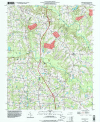 1993 Edmondson1999 Print · USGSJohnston County in the early nineties shows a landscape of traditional crossroads and family farms adapting to modern highway growth. Genealogists can locate numerous family burial sites like Penny Cem and Honeycutt Cem, or trace the rural economy at McGee Mill and Edmondson.
 - 2010 Map of Angier, 2010 Print
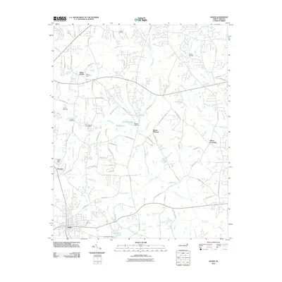 2010 Angier2010 Print · USGSThe crossroads and creeks between Fuquay-Varina and Angier are captured here during a period of steady rural growth. Researchers can trace family-named landmarks and small communities like Willow Springs, Ogburn Crossroads, and the aviation history at Triple W Air Park.
 - 2010 Map of Edmondson, 2010 Print
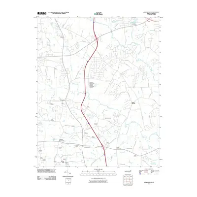 2010 Edmondson2010 Print · USGSJohnston County at the turn of the millennium shows a landscape where rural crossroads and family lineages remain deeply etched into the geography. Researchers can trace historic burial grounds like Leech Cemetery and Ennis Cemetery alongside landmarks like McGee Mill.
 - 2013 Map of Angier, 2013 Print
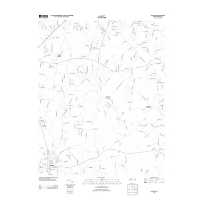 2013 Angier2013 Print · USGSThe crossroads and rural communities of southern Wake County are captured here in the early twenty-first century. Researchers can trace historic routes like Old Stage Rd and locate family landmarks near Willow Springs, Mount Pleasant, and Holts Pond.
 - 2013 Map of Edmondson, 2013 Print
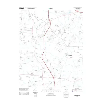 2013 Edmondson2013 Print · USGSThe rural crossroads and growing residential communities of Johnston County are captured here in the early twenty-first century. Researchers can trace local lineage near McGee Mill or follow the historic waterways of Middle Cr and Sassaraxa Swamp.
 - 2016 Map of Edmondson, 2016 Print
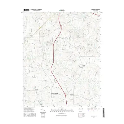 2016 Edmondson2016 Print · USGSThe crossroads of Johnston and Wake counties come alive in this modern survey of North Carolina's coastal plain. Genealogists can trace family heritage through sites like the Nimrod Stephenson Memorial Cem and historic McGee Mill.
 - 2016 Map of Angier, 2016 Print
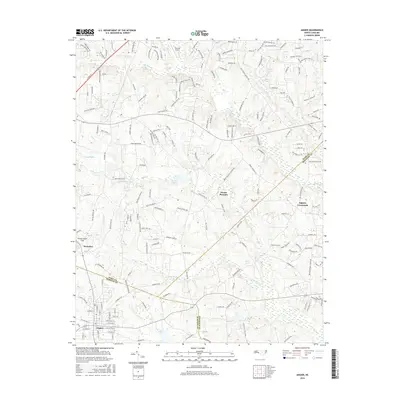 2016 Angier2016 Print · USGSThe crossroads and county lines of the Research Triangle’s southern fringe are captured here during a period of rapid residential growth. Local researchers can trace family lands near Angier or locate landmarks like Triple W Airport and Ogburn Crossroads.
 - 2019 Map of Angier, 2019 Print
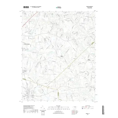 2019 Angier2019 Print · USGSThe borderlands of Wake, Harnett, and Johnston counties are captured here in the late twenty-teens as modern growth meets rural North Carolina tradition. Researchers can trace the layout of Fuquay-Varina and Angier alongside local landmarks like Ogburn Crossroads and Holts Pond.
 - 2019 Map of Edmondson, 2019 Print
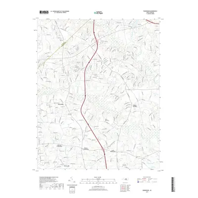 2019 Edmondson2019 Print · USGSThe crossroads of Johnston and Wake counties come alive in this recent survey of a rapidly changing landscape. Genealogists and local historians can trace family land and small burial sites like Nimrod Stephenson Memorial Cem and McGee Mill.
 - 2022 Map of Edmondson, 2022 Print
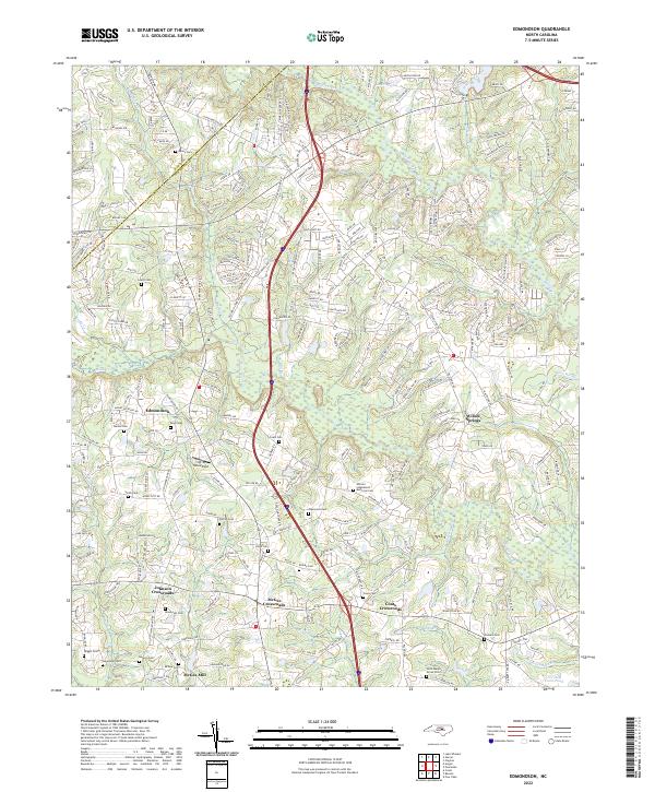 2022 Edmondson2022 Print · USGSThe Johnston and Wake County borderlands are mapped here in the early 2020s, showing a region of crossroads communities and deep family roots. Researchers can trace ancestral locations at the Nimrod Stephenson Memorial Cem or explore the geography near McGee Mill and Edmondson.
 - 2022 Map of Angier, 2022 Print
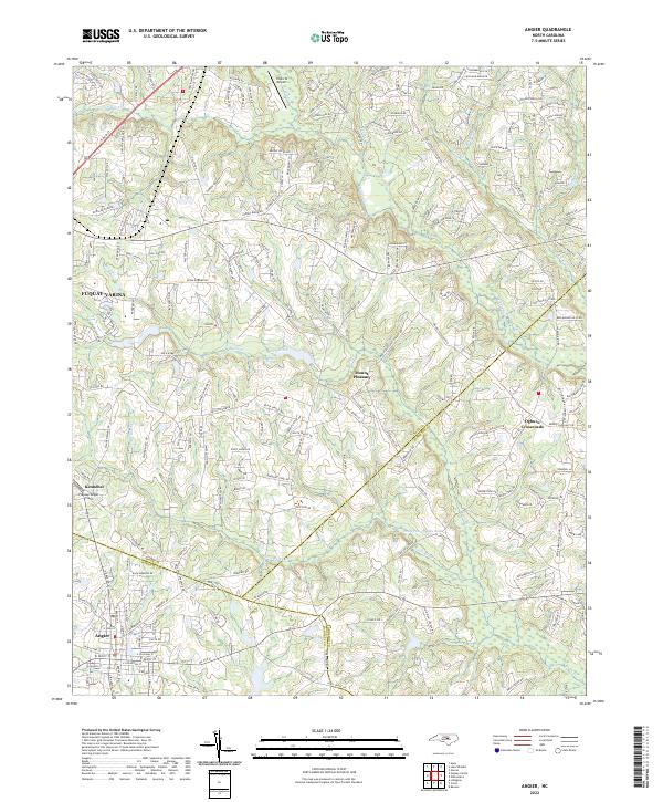 2022 Angier2022 Print · USGSThe intersection of Wake, Harnett, and Johnston counties comes alive in this modern survey of the North Carolina coastal plain. Local researchers can trace the growth of Angier and Fuquay-Varina while identifying long-standing rural points like Ogburn Crossroads and Kennebec.
End of results
Showing maps 1-19 of 19
Frequently asked questions
- What are the different types of historical maps available for Jefferson Hill?
- What is the oldest map of Jefferson Hill?
- Where can I purchase historical maps of Jefferson Hill for my home or office?
- Where can I download high-res historical maps of Jefferson Hill?
- Are there historical topographic maps available for Jefferson Hill?
- Is there historical aerial imagery available for Jefferson Hill?
- Where are historical maps of Jefferson Hill sourced from?