Old Maps of Osborne, North Carolina for Hiking & Exploration
Hike through history with 27 historic maps of Osborne. Explore old trails, ghost towns, and forgotten backroads — perfect for outdoor adventurers and local explorers.
- Rediscover forgotten places: Map out old mining camps, roads, and footpaths that no longer exist on modern maps.
- Layer with modern tools: Combine with LiDAR or satellite views to plan hikes through historical terrain.
- Made for exploration: Popular among hikers, overlanders, and local history lovers.
Use these maps to find adventure and explore the hidden past of Osborne.
Osborne, NC maps
(27)- 1943 Map of Raleigh
 1943 Raleigh1943 Print · USGSRaleigh and its surrounding Wake County townships are captured here in the early 1940s as a bustling nexus of rail and industry. Genealogists can trace family names through rural landmarks like Lassiters Mill, Method, and numerous country churches like Mt Bethel Church.2 unique versions available
 - 1943 Map of Creedmoor, 1957 Print
 1943 Creedmoor1957 Print · USGSGranville and Wake counties are shown here during the transformative years of the early 1940s. Researchers can locate dozens of specific rural landmarks, from the sprawling Camp Butner Military Reservation to local centers like Creedmoor and Mt Energy.2 unique versions available
 - 1944 Map of Creedmoor
 1944 Creedmoor1944 Print · USGSGranville County during the Second World War shows the massive footprint of Camp Butner alongside traditional rail towns. Genealogists can trace family roots through numerous country landmarks like Lattice Ch, Mt Vernon Cem, and Providence Sch.
 - 1951 Map of Raleigh, 1952 Print
 1951 Raleigh1952 Print · USGSMid-century Raleigh and its surrounding rural townships are shown here as the capital city expanded toward the Neuse River. Genealogists can trace family-named schools and crossroads like Lovely Hill Sch, Six Forks, and the historic mill at Lassiters Mill.3 unique versions available
 - 1953 Map of Raleigh, 1965 Print
 1953 Raleigh1965 Print · USGSCentral North Carolina in the early sixties shows a landscape of growing towns and military hubs before the full expansion of the interstate system. Genealogists can trace family footprints across the Piedmont through Wake Forest, Siler City, and the large Fort Bragg Military Reservation.4 unique versions available
 - 1953 Map of Greensboro, 1981 Print
 1953 Greensboro1981 Print · USGSThe Piedmont borderlands of North Carolina and Virginia show a landscape defined by new reservoirs and old rail lines. Trace family roots and the changing river geography through Elon College, the John H Kerr Reservoir, and South Boston.
 - 1954 Map of Greensboro
 1954 Greensboro1954 Print · USGSThe Piedmont borderlands of North Carolina and Virginia come alive in this mid-fifties study of a region defined by its rivers and rails. Researchers can trace the growing Buggs Island Lake or follow the paths of the Southern Ry and Seaboard Air Line RR through towns like Oxford and Reidsville.
 - 1954 Map of Raleigh
 1954 Raleigh1954 Print · USGSThe North Carolina Piedmont and Sandhills are captured in the mid-fifties during a period of steady regional growth. Genealogists and historians can trace the development of towns like Siler City or locate landmarks such as Falls of Neuse and Camp Mackall.
 - 1962 Map of Greensboro
 1962 Greensboro1962 Print · USGSThe Piedmont region along the Virginia and North Carolina border comes alive in the early 1960s, showing a landscape defined by industry and new reservoirs. Trace the path of the Virginian RR or explore the early development of Greensboro and Durham.
 - 1966 Map of Greensboro
 1966 Greensboro1966 Print · USGSThe North Carolina and Virginia Piedmont thrives during the mid-sixties, showcasing a landscape of textile hubs and expanding river reservoirs. Researchers can trace the rail corridors of the Southern Railway, find local landmarks like Elon College, or locate the extensive Camp Butner Military Reservation.
 - 1967 Map of Wake Forest, 1972 Print
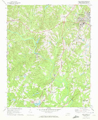 1967 Wake Forest1972 Print · USGSNorthern Wake County in the late sixties shows a landscape of growing crossroads and river communities centered around Wake Forest. Genealogists can locate family landmarks at Stony Hill Ch, Forestville, and the historic Southeastern Theological Seminary campus.6 unique versions available
 - 1978 Map of Grissom
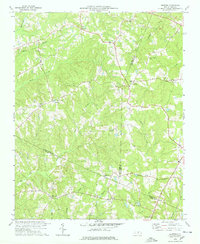 1978 Grissom1978 Print · USGSThe intersection of Granville, Wake, and Franklin counties comes into focus in the late 1970s, showing a rural landscape defined by creek-side settlements. Genealogists can trace family roots through numerous small churches and cemeteries like Kinchen Chapel, Marys Chapel, and Purnell.2 unique versions available
 - 1984 Map of Raleigh, 1985 Print
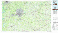 1984 Raleigh1985 Print · USGSThe North Carolina Research Triangle is shown during a decade of rapid growth, from the sprawl of Raleigh to the expanding waters of Falls Lake. Genealogists and historians can trace rail lines like the Seaboard Coast Line or locate landmark sites like Dorothea Dix State Hospital and Fuquay-Varina.
 - 1984 Map of Henderson, 1985 Print
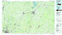 1984 Henderson1985 Print · USGSNorth Carolina’s northern Piedmont comes into focus in the mid-1980s, centered on the crossroads of Henderson and Oxford. Genealogists and historians can trace the paths of the Southern railroad or locate communities near the Camp Butner National Guard Range and John H. Kerr Reservoir.
 - 1990 Map of Raleigh, 1991 Print
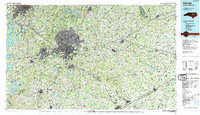 1990 Raleigh1991 Print · USGSGreater Raleigh and the Research Triangle entered a period of significant suburban growth during the 1990s. Researchers can trace the development of towns like Fuquay-Varina and Wake Forest or locate landmarks such as the State Prison and Harris Reservoir.2 unique versions available
 - 1991 Map of Henderson
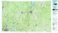 1991 Henderson1991 Print · USGSThe northern Piedmont and Virginia borderlands come into focus in the early nineties, showing a landscape defined by major reservoirs and growing towns. Trace the rail-and-road connections between Oxford, Henderson, and Durham while exploring the developing shores of Falls Lake.2 unique versions available
 - 1993 Map of Wake Forest, 1999 Print
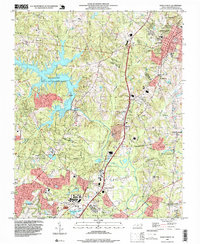 1993 Wake Forest1999 Print · USGSThe area surrounding Wake Forest and northern Raleigh is shown here as suburban expansion met rural crossroads in the early nineties. Researchers can trace family-named landmarks like Walkers Crossroads and local centers including Mt Pleasant Ch.
 - 2010 Map of Wake Forest, 2010 Print
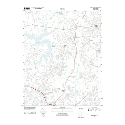 2010 Wake Forest2010 Print · USGSWake County at the start of the 2010s shows a landscape of growing residential networks surrounding the historic center of Wake Forest. Genealogists and local historians can trace legacy landmarks like Forestville, Stony Hill, and the Falls of the Neuse Dam.
 - 2010 Map of Grissom, 2010 Print
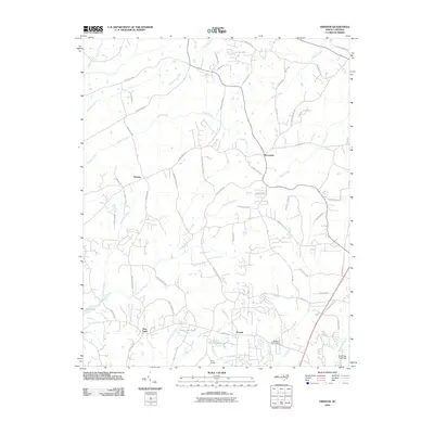 2010 Grissom2010 Print · USGSThe crossroads of northern Wake County come to life in this early twenty-first-century survey of the Grissom area. Researchers can trace rural lineages through family-named landmarks like Calvin Ray Pond or explore historic sites such as Efland Millpond and Camp Kanata.
 - 2013 Map of Grissom, 2013 Print
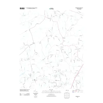 2013 Grissom2013 Print · USGSWake County in the early 2010s shows a landscape of growing rural communities and deep-rooted creek systems. Genealogists and local researchers can trace family lands near New Light, Purnell, and the Efland Millpond or explore the banks of Horse Cr.
 - 2013 Map of Wake Forest, 2013 Print
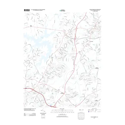 2013 Wake Forest2013 Print · USGSThe northern Wake County suburbs and rural crossroads are captured here during a period of rapid growth. Researchers can trace historic community hubs and local landmarks like Falls, Forestville, and the youth camps at Camp Kanata and Camp Durant.
 - 2016 Map of Grissom, 2016 Print
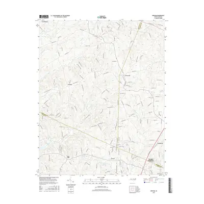 2016 Grissom2016 Print · USGSThe crossroads of Wake, Granville, and Franklin counties come together here during a period of suburban expansion. Genealogists can trace family footprints through rural communities like New Light, Purnell, and Grissom, or follow the banks of Smith Cr.
 - 2016 Map of Wake Forest, 2016 Print
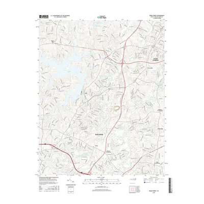 2016 Wake Forest2016 Print · USGSWake County's northern corridor comes into focus in this contemporary survey, capturing the suburban growth between the capital and the historic college town. Genealogists and residents can trace evolving neighborhoods near Wake Forest, Rolesville, and the historic Falls settlement along the river.
 - 2019 Map of Wake Forest, 2019 Print
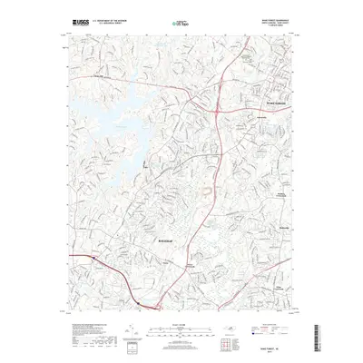 2019 Wake Forest2019 Print · USGSWake County's northern corridor comes into focus in this late 2010s survey, showing the residential evolution between the capital and its outlying towns. Genealogists and historians can trace the grounds of Wake Forest, the Wake Forest Cem, and small-town crossroads like Walkers Crossroads.
 - 2019 Map of Grissom, 2019 Print
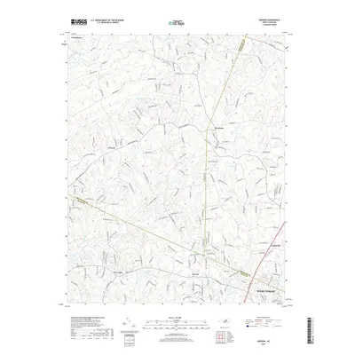 2019 Grissom2019 Print · USGSNorth Carolina's Piedmont region is shown in the late 2010s as suburban growth meets rural heritage at the intersection of three counties. Genealogists and local historians can trace the development of long-standing communities like New Light, Grissom, and Purnell.
Showing maps 1-25 of 27
Frequently asked questions
- What are the different types of historical maps available for Osborne?
- What is the oldest map of Osborne?
- Where can I purchase historical maps of Osborne for my home or office?
- Where can I download high-res historical maps of Osborne?
- Are there historical topographic maps available for Osborne?
- Is there historical aerial imagery available for Osborne?
- Where are historical maps of Osborne sourced from?